10 High Street, Alconbury Weston, Huntingdon, PE28 4JP
About 10 High Street
10 High Street is a three-bedroom detached house in Alconbury Weston, Huntingdon, Huntingdon (PE28 4JP). It has a recorded floor area of 79 m² (around 851 sq ft), construction records dating it to before 1900 and council tax band C. The latest certificate (December 2010) shows a D (score 55), a step below the typical UK home. The latest certificate is from December 2010, so improvements made since then won't be reflected.
3 planning records sit against the property, 0 approved, 1 refused. The record references listed-building consent, which constrain future alterations. At 79 m² it sits well below the postcode median (142 m² across 11 EPCs), making it one of the more compact homes locally. Across 2007–2023, sale prices on this property compounded at 1.9% per year. On a £-per-square-foot basis, the last sale (£428/sq ft) was about 110.9% above the typical sold price in the postcode. Last sale on file: £364,000 in February 2023.
What this property has
Inside
- Bedrooms3
- Bathrooms2
Outside
- Private gardenSouth-facing
- GarageYes
Building
- RefurbishedYes
Everything you need to know about 10 High Street
The true value, the hidden risks and the full sale history, in one report.
Pick your report · from £14.99
One time fee only - money back guarantee

The data behind every report


Energy performance
10 High Street's EPC is over a decade old — improvements since won't be reflected.
EPC Expired
This certificate is over 10 years old and is no longer valid.Expired 16 Dec 2020
EPC Rating
Certificate validity
Expired on 16 December 2020

Get a survey for this property
Level 3 Building Survey
Because the property was built before 1919 and has been extended more than once, we believe a Level 3 building survey should be considered.
From £955 · Includes VAT
Planning history
10 High Street has a listed-building consent on record — alterations to a listed property are tightly controlled.
3 applications on record at 10 High Street, Alconbury Weston, Huntingdon, PE28 4JP
- Sept 2019RenovationHeritageOutcome in report
Retrospective application for replacement of 10 windows to the ground floor of the property.
RetrospectiveNew Windows- Documents
- 16 docs on file
- Reference
- 19/01213/LBC
- More recent applications — locked
- RenovationMar 2024Decision
- Tree WorksJan 2024Decision
Unlock 10 High Street, Alconbury Weston, Huntingdon, PE28 4JP's full planning history
You're seeing the shape of it. The report has the substance.
- Every decision — granted, refused or withdrawn (3 on record)
- All 3 applications on this property in full, plus 9 notable nearby
- The 35 documents, officer reports & conditions
- What the pattern means for extending or converting here
One time fee only - money back guarantee
Sales history & valuation
10 High Street valuation sits well clear of the typical sold price in this postcode.
£394,000
Modelled from EPC, postcode comparables and a sale-price growth of 1.9% per year over 15 years.
£364,000
Growth on file: 1.9% per year over 15 years.
Sales timeline
23 February 2023Most recent
£364,000
+31.6%over 10 years9 September 2012
£276,500
+2.4%over 5 years5 September 2007
£270,000
Median price across the last 5 sales in PE28 4JP: £290,000 (2026–2021).
Nearby sales in PE28 4JP
6 High Street, Alconbury Weston, Huntingdon, PE28 4JP
Sold Feb 2026
£290,0009 High Street, Alconbury Weston, Huntingdon, PE28 4JP
Sold Feb 2026
£587,0004 High Street, Alconbury Weston, Huntingdon, PE28 4JP
Sold Jan 2023
£240,00015 High Street, Alconbury Weston, Huntingdon, PE28 4JP
Sold Jun 2021
£720,0005 High Street, Alconbury Weston, Huntingdon, PE28 4JP
Sold Sept 2020
£494,000
Versus other High Street homes
10 High Street outperforms the street on price per m² by a wide margin.
Price per m²
£4,606
Street avg £3,270
Floor Area
79 m²
Street avg 137 m²
Habitable Rooms
5 rooms
Street avg 6 rooms
CO₂ Emissions
5.8 t/year
Street avg 7.2 t/year
Everything you need to know about 10 High Street
The true value, the hidden risks and the full sale history, in one report.
Pick your report · from £14.99
One time fee only - money back guarantee
The data behind every report
Similar properties nearby
1 Bedell Road, Alconbury Weald
PE28 4FS
1 Abbott Close, Brampton
PE28 4SX
1 Bramble End, Alconbury
PE28 4EZ
1 Baker Close, Brampton
PE28 4PG
1 Bramble Court, Brampton
PE28 4FQ
1 Bell Field, Brampton
PE28 4PT
1 Brook Close, Alconbury
PE28 4HT
1 Belle Isle Crescent, Brampton
PE28 4SQ
The neighbourhood at a glance
Daytime road noise here sits well below conversation level — a quiet pocket of the postcode.
Crime
231/mo
Falling year-on-year across the wider district.
Closest school
1.2 km
Alconbury CofE Primary School. 2 schools nearby.
Go deeper on the local area
A Local Area report breaks down crime, transport links, schools and air quality in depth.
Road noise across the postcode
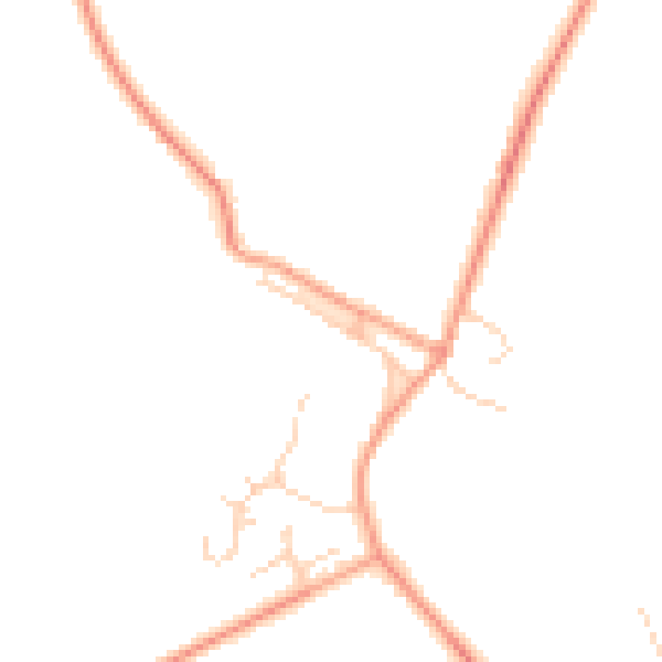
Daytime· 07:00 – 23:00
45.9dB

Night-time· 23:00 – 07:00
38.1dB