The Lion Brewery, Flat 1, St Thomas Street, Oxford, OX1 1JE
About The Lion Brewery
The Lion Brewery is a two-bedroom property in Oxford (OX1 1JE). It has council tax band D.
Untraded for 22 years, with the last transfer in February 2004.
What this property has
Inside
- Bedrooms2
- Open-plan layoutYes
- Dining roomYes
- EnsuiteYes
Outside
- ParkingOff street
Building
- RefurbishedYes
Everything you need to know about The Lion Brewery
The true value, the hidden risks and the full sale history, in one report.
30-day money-back guarantee

The data behind every report


Energy performance
No EPC on record
This property doesn't have an Energy Performance Certificate yet. An EPC is required to sell or let — and unlocks our automated valuation.
Planning history
The Lion Brewery has no planning applications on record.
Notable planning nearby
10applications of note in the surrounding area
We flagged 2 things worth checking at The Lion Brewery
Independent checks surfaced things a buyer would want to understand before offering. The report explains each one in full, with the underlying data and what to ask.
- Signs of HMO activity in the area
- Larger development activity nearby
30-day money-back guarantee
Sales history & valuation
£229,000
Recorded with HM Land Registry.
Sales timeline
20 February 2004Most recent
£229,000
Median price across the last 5 sales in OX1 1JE: £495,000 (2025–2023).
Nearby sales in OX1 1JE
The Lion Brewery, Flat 43, St Thomas Street, Oxford, OX1 1JE
Sold Oct 2025
£495,000The Lion Brewery, Flat 9, St Thomas Street, Oxford, OX1 1JE
Sold Jan 2025
£860,000The Lion Brewery, Flat 13, St Thomas Street, Oxford, OX1 1JE
Sold Oct 2024
£1,000,000The Lion Brewery, Flat 31, St Thomas Street, Oxford, OX1 1JE
Sold Dec 2023
£365,000The Lion Brewery, Flat 19, St Thomas Street, Oxford, OX1 1JE
Sold Jun 2023
£440,000
Everything you need to know about The Lion Brewery
The true value, the hidden risks and the full sale history, in one report.
30-day money-back guarantee
The data behind every report
Similar properties nearby
Albert House, Flat 9, Albion Place
OX1 1AW
Albert House, Flat 14, Albion Place
OX1 1AW
Angevins House, Flat 6, Lower Fisher Row
OX1 1JZ
Angevins House, Flat 5, Lower Fisher Row
OX1 1JZ
Angevins House, Flat 3, Lower Fisher Row
OX1 1JZ
Angevins House, Flat 4, Lower Fisher Row
OX1 1JZ
Angevins House, Flat 1, Lower Fisher Row
OX1 1JZ
Albert House, Flat 2, Albion Place
OX1 1AW
The neighbourhood at a glance
Rail-style transport is unusually close for this postcode.
Crime
6/mo
Rising year-on-year across the wider district.
Nearest stop
0.1 km
Park End Street — bus stop.
Closest school
0.2 km
Activate Learning. 20 schools nearby.
Go deeper on the local area
The full report breaks down crime, transport links, schools and air quality in depth.
Road noise across the postcode
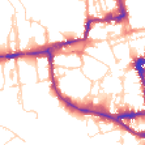
Daytime· 07:00 – 23:00
53.1dB

Night-time· 23:00 – 07:00
44.2dB