20 Cumberland Drive, Royton, Oldham, OL2 5AX
About 20 Cumberland Drive
20 Cumberland Drive is a property in Royton, Oldham, Oldham (OL2 5AX). It has council tax band C.
A recent sale: £180,000 in July 2025. Across 1998–2025, sale prices on this property compounded at 4.7% per year.
Everything you need to know about 20 Cumberland Drive
The true value, the hidden risks and the full sale history, in one report.
Pick your report · every report is £14.99
One time fee only - money back guarantee

The data behind every report


Energy performance
No EPC on record
This property doesn't have an Energy Performance Certificate yet. An EPC is required to sell or let — and unlocks our automated valuation.
Get a survey for this property
Level 2 HomeBuyer Report
We've checked 10 risk factors against the available data for this property and believe a Level 2 HomeBuyer Report could be a suitable option for you.
Planning history
20 Cumberland Drive has no planning applications on record.
But the area is active
3 notable applications nearby — larger schemes and conversions that could reshape the street. The report maps them all.
Sales history & valuation
20 Cumberland Drive has more than tripled in price since its earliest registered sale in 1998.
£180,000
Growth on file: 4.7% per year over 27 years.
Sales timeline
31 July 2025Most recent
£180,000
+256.4%over 27 years12 February 1998
£50,500
Median price across the last 5 sales in OL2 5AX: £186,000 (2025–2018).
Nearby sales in OL2 5AX
11 Cumberland Drive, Royton, Oldham, OL2 5AX
Sold Jun 2025
£220,00021 Cumberland Drive, Royton, Oldham, OL2 5AX
Sold Apr 2024
£186,00016 Cumberland Drive, Royton, Oldham, OL2 5AX
Sold Dec 2021
£228,00027 Cumberland Drive, Royton, Oldham, OL2 5AX
Sold Dec 2018
£137,50012 Cumberland Drive, Royton, Oldham, OL2 5AX
Sold Nov 2017
£164,950
Everything you need to know about 20 Cumberland Drive
The true value, the hidden risks and the full sale history, in one report.
Pick your report · every report is £14.99
One time fee only - money back guarantee
The data behind every report
Similar properties nearby
1 Chapel Lane, Royton
OL2 5QG
1 Briony Close, Royton
OL2 5AL
1 Carlton Way, Royton
OL2 5AZ
1 Arlington Close, Royton
OL2 5NP
1 Baldwins Close, Royton
OL2 5FG
1 Cecil Street, Royton
OL2 5NE
1 Bromley Avenue, Royton
OL2 5YB
1 Cemetery Road, Royton
OL2 5SP
The neighbourhood at a glance
Crime
1/mo
Steady year-on-year across the wider district.
Nearest stop
0.1 km
Cumberland Drive — bus stop.
Closest school
0.6 km
E-ACT the Oldham Academy North. 48 schools nearby.
Go deeper on the local area
A Local Area report breaks down crime, transport links, schools and air quality in depth.
Road noise across the postcode
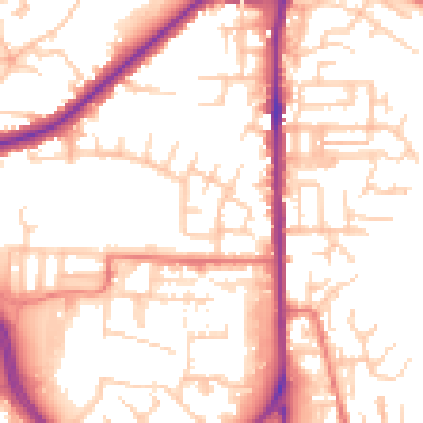
Daytime· 07:00 – 23:00
53.9dB

Night-time· 23:00 – 07:00
44.0dB