2 Beswicke Street, Rochdale, OL12 6PT
About 2 Beswicke Street
2 Beswicke Street is an end-of-terrace house in Rochdale (OL12 6PT). It has a recorded floor area of 76 m² (around 818 sq ft), construction records dating it to before 1900 and council tax band A. The latest certificate (July 2019) shows a C (score 72). When first surveyed in July 2009 the rating was D, the property has climbed 1 band since. Between certificates, wall efficiency went from Poor to Good, window efficiency went from Poor to Average and lighting went from Very Poor to Good; while roof efficiency dropped from Good to Average and main heating dropped from Very Good to Good. The recommended improvements would push it to B (score 89).
Its energy rating outperforms most of the postcode (better than 89% of similar EPCs).
Everything you need to know about 2 Beswicke Street
The true value, the hidden risks and the full sale history, in one report.
30-day money-back guarantee

The data behind every report


Energy performance
EPC Rating
Property Improvements
Changes detected from historical EPC data
Windows upgraded, improving insulation
More low energy lighting installed
Low energy lighting percentage decreased
Wall insulation improved
Low energy lighting percentage decreased
Get a survey for this property
Level 3 Building Survey
Because the property was built before 1919, we believe a Level 3 building survey should be considered.
From £820 · Includes VAT
Planning history
2 Beswicke Street has no planning applications on record.
Notable planning nearby
1applications of note in the surrounding area
Sales history & valuation
2 Beswicke Street has no Land Registry sales on file, suggesting it has stayed in the same hands since registration began.
£141,000
Modelled from EPC, postcode comparables.
No sales recorded with HM Land Registry
That can mean the property has never traded since the registry began publishing in 1995, was a new build that hasn't been registered yet, or is held in the same hands long-term.
Median price across the last 5 sales in OL12 6PT: £70,000 (2024–2016).
Nearby sales in OL12 6PT
Versus other Beswicke Street homes
On epc rating, 2 Beswicke Street stands well clear of the street.
EPC Rating
72 (C)
Street avg 58 (D)
Floor Area
76 m²
Street avg 75 m²
CO₂ Emissions
3.0 t/year
Street avg 5.0 t/year
Habitable Rooms
3 rooms
Street avg 4 rooms
Everything you need to know about 2 Beswicke Street
The true value, the hidden risks and the full sale history, in one report.
30-day money-back guarantee
The data behind every report
Similar properties nearby
The neighbourhood at a glance
Crime
1/mo
Steady year-on-year across the wider district.
Nearest stop
0.1 km
Chaseley Road — bus stop.
Closest school
0.2 km
Spotland Primary Academy. 32 schools nearby.
Go deeper on the local area
The full report breaks down crime, transport links, schools and air quality in depth.
Road noise across the postcode
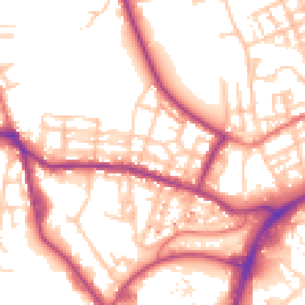
Daytime· 07:00 – 23:00
54.5dB

Night-time· 23:00 – 07:00
45.5dB