11 Beswicke Street, Rochdale, OL12 6PT
About 11 Beswicke Street
11 Beswicke Street is a mid-terrace house in Rochdale (OL12 6PT). It has a recorded floor area of 96 m² (around 1033 sq ft), construction records dating it to before 1900 and council tax band A. The latest certificate (July 2017) shows a D (score 64), on the cusp of jumping into the C band. The rating has held steady at D across 2 certificates since January 2017. Between certificates, wall efficiency went from Very Poor to Good. The recommended improvements would push it to C (score 75).
At 96 m² the property is well over the postcode median (68 m² across 9 EPCs), placing it in the larger end of the local stock. Today's modelled estimate of £148,000 is 23.3% above the 2024 sale price. On a £-per-square-foot basis, the last sale (£116/sq ft) was about 55.5% above the typical sold price in the postcode. Most recent transfer: April 2024 at £120,000.
Everything you need to know about 11 Beswicke Street
The true value, the hidden risks and the full sale history, in one report.
30-day money-back guarantee

The data behind every report


Energy performance
EPC Rating
Property Improvements
Changes detected from historical EPC data
Heating controls upgraded for better temperature management
Wall insulation improved
Get a survey for this property
Level 3 Building Survey
Because the property was built before 1919 and has solid (non-cavity) walls, we believe a Level 3 building survey should be considered.
From £820 · Includes VAT
Planning history
11 Beswicke Street has no planning applications on record.
Notable planning nearby
1applications of note in the surrounding area
Sales history & valuation
Latest sale on 11 Beswicke Street was the highest on Land Registry record across the postcode.
£148,000
Modelled from EPC, postcode comparables.
£120,000
Recorded with HM Land Registry.
Sales timeline
11 April 2024Most recent
£120,000
Median price across the last 5 sales in OL12 6PT: £70,000 (2023–2008).
Nearby sales in OL12 6PT
Versus other Beswicke Street homes
Years Held for 11 Beswicke Street lags the street by a wide margin.
Price per m²
£1,250
Street avg £899
Floor Area
96 m²
Street avg 73 m²
Habitable Rooms
5 rooms
Street avg 4 rooms
CO₂ Emissions
5.1 t/year
Street avg 4.8 t/year
Everything you need to know about 11 Beswicke Street
The true value, the hidden risks and the full sale history, in one report.
30-day money-back guarantee
The data behind every report
Similar properties nearby
The neighbourhood at a glance
Crime
1/mo
Steady year-on-year across the wider district.
Nearest stop
0.1 km
Chaseley Road — bus stop.
Closest school
0.2 km
Spotland Primary Academy. 32 schools nearby.
Go deeper on the local area
The full report breaks down crime, transport links, schools and air quality in depth.
Road noise across the postcode
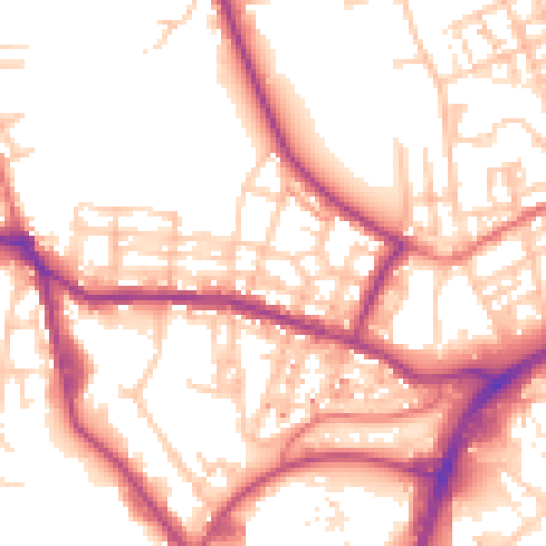
Daytime· 07:00 – 23:00
54.5dB

Night-time· 23:00 – 07:00
45.5dB