5 David Street, Rochdale, OL12 0JF
About 5 David Street
5 David Street is a mid-terrace house in Rochdale (OL12 0JF). It has a recorded floor area of 65 m² (around 700 sq ft), construction records dating it to 1900-1929 and council tax band A. The latest certificate (September 2019) shows a D (score 64), on the cusp of jumping into the C band. The rating has held steady at D across 3 certificates since February 2014. Between certificates, wall efficiency went from Poor to Average and lighting went from Average to Very Good. The recommended improvements would push it to C (score 78).
Today's modelled estimate of £129,000 sits 134.5% above the 2020 sale of £55,000. Most recent transfer: November 2020 at £55,000.
Everything you need to know about 5 David Street
The true value, the hidden risks and the full sale history, in one report.
30-day money-back guarantee

The data behind every report


Energy performance
EPC Rating
Property Improvements
Changes detected from historical EPC data
Cavity wall insulation installed
Low energy lighting percentage decreased
Heating controls upgraded for better temperature management
More low energy lighting installed
Get a survey for this property
Level 3 Building Survey
Because the property was built before 1919, we believe a Level 3 building survey should be considered.
From £820 · Includes VAT
Planning history
5 David Street has no planning applications on record.
Notable planning nearby
4applications of note in the surrounding area
We flagged 1 thing worth checking at 5 David Street
Independent checks surfaced things a buyer would want to understand before offering. The report explains each one in full, with the underlying data and what to ask.
- Larger development activity nearby
30-day money-back guarantee
Sales history & valuation
The latest sale landed in the post-pandemic price surge — useful context when reading the figure.
£129,000
Modelled from EPC, postcode comparables.
£55,000
Recorded with HM Land Registry.
Sales timeline
27 November 2020Most recent
£55,000
Median price across the last 5 sales in OL12 0JF: £86,500 (2022–2020).
Versus other David Street homes
On price per m², 5 David Street runs well behind the street norm.
Price per m²
£846
Street avg £1,090
Floor Area
65 m²
Street avg 76 m²
Habitable Rooms
4 rooms
Street avg 4 rooms
CO₂ Emissions
3.6 t/year
Street avg 3.8 t/year
Everything you need to know about 5 David Street
The true value, the hidden risks and the full sale history, in one report.
30-day money-back guarantee
The data behind every report
Similar properties nearby
The neighbourhood at a glance
Crime
1/mo
Steady year-on-year across the wider district.
Nearest stop
0.1 km
Fieldhouse Road — bus stop.
Closest school
0.1 km
Greenbank Primary School. 33 schools nearby.
Go deeper on the local area
The full report breaks down crime, transport links, schools and air quality in depth.
Road noise across the postcode
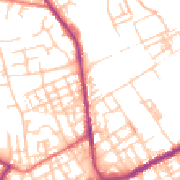
Daytime· 07:00 – 23:00
52.6dB

Night-time· 23:00 – 07:00
42.1dB