9 Bagslate Moor Road, Rochdale, OL11 5XT
About 9 Bagslate Moor Road
9 Bagslate Moor Road is an end-of-terrace house in Rochdale (OL11 5XT). It has a recorded floor area of 190 m² (around 2045 sq ft), construction records dating it to 1950-1966 and council tax band D. The latest certificate (December 2024) shows a D (score 62), on the cusp of jumping into the C band. The recommended improvements would lift it to B (score 81), a 2-band jump.
It hasn't traded since June 1998, a hold of 28 years that's notably long for the area. Only one transfer is on record with HM Land Registry, suggesting it has stayed in the same hands for a long time. At 190 m² the property is well over the postcode median (95 m² across 20 EPCs), placing it in the larger end of the local stock. Today's modelled estimate of £411,000 sits 440.8% above the 1998 sale of £76,000. On a £-per-square-foot basis, the last sale (£37/sq ft) was about 73.5% below the postcode norm.
Everything you need to know about 9 Bagslate Moor Road
The true value, the hidden risks and the full sale history, in one report.
30-day money-back guarantee

The data behind every report


Energy performance
9 Bagslate Moor Road's carbon output runs well above what efficient homes in the postcode produce.
EPC Rating
Planning history
9 Bagslate Moor Road has no planning applications on record.
Notable planning nearby
1applications of note in the surrounding area
Sales history & valuation
9 Bagslate Moor Road's modelled value sits at over four times its earliest registered sale price (1998).
£411,000
Modelled from EPC, postcode comparables.
£76,000
Recorded with HM Land Registry.
Sales timeline
25 June 1998Most recent
£76,000
Median price across the last 5 sales in OL11 5XT: £280,000 (2024–2020).
Nearby sales in OL11 5XT
2a, Bagslate Moor Road, Rochdale, OL11 5XT
Sold Sept 2024
£191,00039 Bagslate Moor Road, Rochdale, OL11 5XT
Sold Jul 2024
£345,00032 Bagslate Moor Road, Rochdale, OL11 5XT
Sold May 2024
£360,0003 Bagslate Moor Road, Rochdale, OL11 5XT
Sold Apr 2021
£250,00026 Bagslate Moor Road, Rochdale, OL11 5XT
Sold Dec 2020
£280,000
Versus other Bagslate Moor Road homes
Price per m² for 9 Bagslate Moor Road lags the street by a wide margin.
Price per m²
£400
Street avg £1,916
Floor Area
190 m²
Street avg 129 m²
Habitable Rooms
8 rooms
Street avg 6 rooms
CO₂ Emissions
8.6 t/year
Street avg 6.9 t/year
Everything you need to know about 9 Bagslate Moor Road
The true value, the hidden risks and the full sale history, in one report.
30-day money-back guarantee
The data behind every report
Similar properties nearby
1 Chepstow Close
OL11 5TR
1 Bramley Road
OL11 5QN
1 Broadoak Road
OL11 5JB
1 Bamford Mews, Norden Road
OL11 5NX
1 Beaumonds, Meadowcroft Lane
OL11 5HN
1 Aintree Drive
OL11 5SH
1 Bagslate Moor Road
OL11 5XT
1 Cairn Drive
OL11 5PG
The neighbourhood at a glance
Daytime road noise here sits well below conversation level — a quiet pocket of the postcode.
Crime
1/mo
Steady year-on-year across the wider district.
Nearest stop
0.0 km
Bagslate Moor Lane — bus stop.
Closest school
0.4 km
St Vincent's Roman Catholic Primary School, a Voluntary Academy. 20 schools nearby.
Go deeper on the local area
The full report breaks down crime, transport links, schools and air quality in depth.
Road noise across the postcode
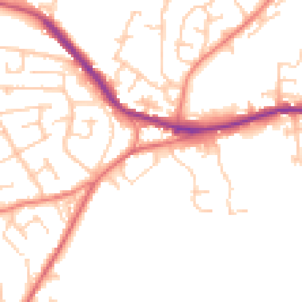
Daytime· 07:00 – 23:00
49.5dB

Night-time· 23:00 – 07:00
40.0dB