19 Broadhalgh, Rochdale, OL11 5LX
About 19 Broadhalgh
19 Broadhalgh is a two-bedroom end-of-terrace house in Rochdale (OL11 5LX). It has a recorded floor area of 91 m² (around 980 sq ft), construction records dating it to before 1900 and council tax band C. The latest certificate (May 2017) shows a D (score 57), a step below the typical UK home. The recommended improvements would lift it to B (score 83), a 2-band jump. Other recorded features include a loft. Period features are noted in the property record.
Today's modelled estimate of £223,000 sits 87.4% above the 2015 sale of £119,000. On a £-per-square-foot basis, the last sale (£121/sq ft) was about 16% below the postcode norm. At 91 m² it sits well below the postcode median (197 m² across 3 EPCs), making it one of the more compact homes locally. On the market in October 2015 and unlisted since — roughly 11 years.
What this property has
Inside
- Bedrooms2
- Bathrooms1
- LoftYes
Outside
- Private gardenYes
- DrivewayYes
Building
- Period featuresYes
- RefurbishedYes
Everything you need to know about 19 Broadhalgh
The true value, the hidden risks and the full sale history, in one report.
30-day money-back guarantee

The data behind every report


Energy performance
Recommended upgrades on file would lift this property by multiple EPC bands.
EPC Rating
Planning history
19 Broadhalgh has no planning applications on record.
Notable planning nearby
1applications of note in the surrounding area
Sales history & valuation
£223,000
Modelled from EPC, postcode comparables.
£119,000
Recorded with HM Land Registry.
Sales timeline
30 October 2015Most recent
£119,000
Median price across the last 5 sales in OL11 5LX: £250,000 (2020–2000).
Versus other Broadhalgh homes
19 Broadhalgh outperforms the street on co₂ emissions by a wide margin.
Price per m²
£1,308
Street avg £1,867
Floor Area
91 m²
Street avg 158 m²
Habitable Rooms
4 rooms
Street avg 7 rooms
CO₂ Emissions
4.6 t/year
Street avg 7.7 t/year
Everything you need to know about 19 Broadhalgh
The true value, the hidden risks and the full sale history, in one report.
30-day money-back guarantee
The data behind every report
Similar properties nearby
The neighbourhood at a glance
Daytime road noise here sits well below conversation level — a quiet pocket of the postcode.
Crime
1/mo
Steady year-on-year across the wider district.
Nearest stop
0.3 km
Broadhalgh Road — bus stop.
Closest school
0.6 km
Bamford Academy. 23 schools nearby.
Go deeper on the local area
The full report breaks down crime, transport links, schools and air quality in depth.
Road noise across the postcode
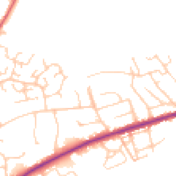
Daytime· 07:00 – 23:00
47.7dB

Night-time· 23:00 – 07:00
38.9dB