1 Kemplay Road, Camden, London, NW3 1TA
About 1 Kemplay Road
1 Kemplay Road is a detached house in Camden, London, London (NW3 1TA). It has a recorded floor area of 139 m² (around 1496 sq ft), construction records dating it to 1967-1975 and council tax band H. The latest certificate (February 2013) shows an E (score 39), well below the UK norm with real room to improve. The recommended improvements would lift it to C (score 75), a 2-band jump. The latest certificate is from February 2013, so improvements made since then won't be reflected.
It hasn't traded since October 2005, a hold of 21 years that's notably long for the area. At 139 m² the property is well over the postcode median (86 m² across 6 EPCs), placing it in the larger end of the local stock. It lags the bulk of the postcode on energy efficiency (less efficient than 83% of similar EPCs). Today's modelled estimate of £2,503,000 sits 108.6% above the 2005 sale of £1,200,000. On a £-per-square-foot basis, the last sale (£802/sq ft) was about 29.4% below the postcode norm. 3 planning records sit against the property, 3 approved, 0 refused. Past consents include an extension, an annexe, a conservatory and a basement excavation, meaningful when judging how the property has evolved.
Know exactly what you're buying at 1 Kemplay Road
Before you offer, see what the listing won't tell you, the true value, the red flags and the full history.
Valuation
against the asking price
Risks
planning & flood
Sold prices
similar homes nearby
Trends
the local market
Energy performance
1 Kemplay Road's carbon output runs well above what efficient homes in the postcode produce.
EPC Expired
This certificate is over 10 years old and is no longer valid.Expired 21 Feb 2023
EPC Rating
Planning history
1 Kemplay Road has an approved rear extension on the planning record.
- Apr 2014AnnexFullIn report
Reinstatement of a front garden, including a new garden wall to the front of the property and the creation of ancillary accommodation at lower ground floor level under the garden with a flush walk-on skylight and a clerestory window to the side elevation
Extension- Documents
- 6 docs on file
- Reference
- 2014/1724/P
- Oct 2009ConservatoryFullIn report
Extension: Rear of property
Erection of a glass conservatory over existing roof terrace at first floor level to rear of dwellinghouse (Class C3)
Extension- Documents
- 7 docs on file
- Reference
- 2009/4336/P
What's in 1 Kemplay Road, Camden, London, NW3 1TA's planning history?
1 more on this property, plus refusals, disputes and full decisions nearby, in the report.
Sales history & valuation
1 Kemplay Road valuation sits well clear of the typical sold price in this postcode.
£2,503,000
Modelled from EPC, postcode comparables.
£1,200,000
Recorded with HM Land Registry.
Sales timeline
6 October 2005Most recent
£1,200,000
Median price across the last 5 sales in NW3 1TA: £1,500,000 (2024–2013).
Nearby sales in NW3 1TA
13 Kemplay Road, Camden, London, NW3 1TA
Sold Dec 2024
£2,235,00017 Kemplay Road, Camden, London, NW3 1TA
Sold Jul 2017
£1,300,0001a, Kemplay Road, Camden, London, NW3 1TA
Sold Jul 2015
£2,650,00027 Kemplay Road, Camden, London, NW3 1TA
Sold Jan 2013
£1,100,5005 Kemplay Road, Camden, London, NW3 1TA
Sold Oct 2012
£1,550,000
Everything we know about 1 Kemplay Road, in one report
What it's really worth, what could be wrong, and the planning, sales and area data in full.
- Am I paying too much?
- Is something wrong with it?
- Is the agent's story true?
- Will it hold its value?

Versus other Kemplay Road homes
On years held, 1 Kemplay Road stands well clear of the street.
Price per m²
£8,633
Street avg £17,011
Floor Area
139 m²
Street avg 128 m²
Habitable Rooms
6 rooms
Street avg 5 rooms
CO₂ Emissions
9.5 t/year
Street avg 3.7 t/year
Similar properties nearby
1 Lutton Terrace, Camden
NW3 1HB
1 Back Lane, Camden
NW3 1HL
1 Denning Road, Camden
NW3 1ST
1 Gardnor Road, Camden
NW3 1HA
1 Cannon Lane, Camden
NW3 1EL
1 Gayton Road, Camden
NW3 1TX
1 Gayton Crescent, Camden
NW3 1TT
1 Holford Road, Camden
NW3 1AD
The neighbourhood at a glance
Rail-style transport is unusually close for this postcode.
Crime
6/mo
Rising year-on-year across the wider district.
Nearest stop
0.1 km
Pilgrim's Lane — bus stop.
Closest school
0.3 km
Fitzjohn's Primary School. 52 schools nearby.
Go deeper on the local area
The full report breaks down crime, transport links, schools and air quality in depth.
Road noise across the postcode
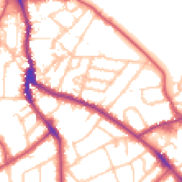
Daytime· 07:00 – 23:00
52.9dB

Night-time· 23:00 – 07:00
42.2dB