Are you a property professional?Get qualified leads from motivated homeowners.
Get started39 Elm Grove, Barnet, London, NW2 3AE
Extendable
About 39 Elm Grove
A plain-English summary derived from public records, EPC certificates, sold prices and local data.
39 Elm Grove is a four-bedroom end-of-terrace house in Barnet, London, London (NW2 3AE). It has a recorded floor area of 45 m² (around 482 sq ft), construction records dating it to 1900-1929 and council tax band E. At 45 m² this is the 3rd smallest of 17 units on EPC record in the building, where floor areas span 20–239 m². The building's EPC ratings span F to C across 17 units on file. Period features are noted in the property record. Our model identifies extension potential, subject to local planning policy. The latest certificate (July 2011) shows a D (score 55), a step below the typical UK home. Main heating runs on electricity. The latest certificate is from July 2011, so improvements made since then won't be reflected.
At 45 m² it's 16.3% larger than the typical home in the postcode (39 m² median across 38 EPCs). 4 bedrooms is on the larger side for this postcode, where 2 is the typical count. On a £-per-square-foot basis, the last sale (£1,618/sq ft) was about 407.6% above the typical sold price in the postcode. 10 years since the last transfer (May 2016).
What this property has
Pulled from EPC certificates, claim submissions and our property model. Empty categories are hidden — we only show what's known.
Inside
- Bedrooms4
- Bathrooms1
- Dining roomYes
- EnsuiteYes
Energy performance
Every EPC certificate filed against this property — current rating, recorded improvements, and where there's headroom to reach a higher band.
39 Elm Grove's EPC is over a decade old — improvements since won't be reflected.
EPC Expired
This certificate is over 10 years old and is no longer valid.Expired 18 Jul 2021
Sales history & valuation
Recorded transactions, our model's current estimate, and a quick read on what neighbouring properties have sold for.
39 Elm Grove valuation sits well clear of the typical sold price in this postcode.
Current estimate
See how we calculated this£850,000
Modelled from EPC, postcode comparables.
Last sold (2016)
£780,000
Recorded with HM Land Registry.
Sales timeline
Versus other Elm Grove homes
Four headline reads against 32 similar flats on this street, drawn from the latest EPC and Land Registry data.
CO₂ Emissions for 39 Elm Grove lags the street by a wide margin.
Price per m²
£17,415
Street avg £8,954
Floor Area
45 m²
Street avg 34 m²
Habitable Rooms
2 rooms
Street avg 2 rooms
Similar properties nearby
A handful of close matches in the same postcode area, ranked by likeness on bedrooms, type and floor area.
The neighbourhood at a glance
A condensed read of the local area. Each tile links through to the full breakdown on the London district page.
Rail-style transport is unusually close for this postcode.
Crime
14/mo
Rising year-on-year across the wider district.
Nearest stop
0.1 km
Cricklewood Broadway — bus stop.
Road noise across the postcode
Modelled day and night-time noise levels around NW2 3AE from Defra's strategic mapping. The pin marks this postcode's centroid.
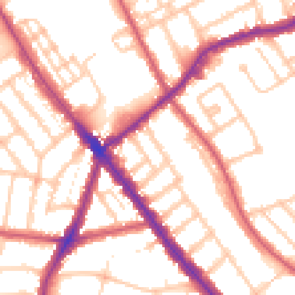
Daytime· 07:00 – 23:00
53.5dB

Everything within walking distance
Schools, transport stops and scenic spots near this property — 92 points of interest in total.
Beautiful places to visit nearby
Curated scenic spots within reach of this postcode, served by Beautifulplaces.ai. Photography and tagging come from their open dataset.
Common questions
The questions buyers, sellers and homeowners most often ask about 39 Elm Grove, Barnet, London, NW2 3AE. Each answer is also embedded as structured data for search engines.