13 Burnt Hills, Cromer, NR27 9LW
About 13 Burnt Hills
13 Burnt Hills is a three-bedroom detached house in Cromer (NR27 9LW). It has a recorded floor area of 96 m² (around 1033 sq ft), construction records dating it to 1967-1975 and council tax band D. The latest certificate (May 2012) shows a D (score 59), a step below the typical UK home. The recommended improvements would lift it to B (score 84), a 2-band jump. The latest certificate is from May 2012, so improvements made since then won't be reflected.
One planning record on file: an extension approved in 2019. Past consents include an extension and partial demolition, meaningful when judging how the property has evolved. At 96 m² it's 24.7% larger than the typical home in the postcode (77 m² median across 39 EPCs). Across 1997–2019, sale prices on this property compounded at 6% per year. Today's modelled estimate of £352,000 is 35.6% above the 2019 sale price. Last sale on file: £259,500 in April 2019.
Know exactly what you're buying at 13 Burnt Hills
Before you offer, see what the listing won't tell you, the true value, the red flags and the full history.
Already flagged here
Valuation
against the asking price
Risks
planning & flood
Sold prices
similar homes nearby
Trends
the local market
What this property has
Inside
- Bedrooms3
- Bathrooms1
- Dining roomYes
Outside
- Private gardenRear
- GarageYes
Energy performance
Recommended upgrades on file would lift this property by multiple EPC bands.
EPC Expired
This certificate is over 10 years old and is no longer valid.Expired 01 May 2022
EPC Rating
Planning history
Planning history includes recorded demolition works, indicating a major rebuild phase at this address.
- Sept 2019DemolitionFullIn report
Extension: Single storey · Side of property
Single-storey side extension and demolition of garage
Extension- Documents
- 17 docs on file
- Reference
- PF/19/1156
We flagged 1 thing worth checking at 13 Burnt Hills
Independent checks surfaced things a buyer would want to understand before offering. The report explains each one in full, with the underlying data and what to ask.
- Larger development activity nearby
30-day money-back guarantee
Sales history & valuation
Sale price has grown by over 3x since 1997.
£352,000
Modelled from EPC, postcode comparables and a sale-price growth of 6.0% per year over 22 years.
£259,500
Growth on file: 6.0% per year over 22 years.
Sales timeline
7 April 2019Most recent
£259,500
+255.5%over 21 years14 August 1997
£73,000
Median price across the last 5 sales in NR27 9LW: £312,000 (2025–2023).
Everything we know about 13 Burnt Hills, in one report
What it's really worth, what could be wrong, and the planning, sales and area data in full.
What we flagged
- Larger development activity nearby

Versus other Burnt Hills homes
13 Burnt Hills outperforms the street on habitable rooms by a wide margin.
Price per m²
£2,703
Street avg £3,166
Floor Area
96 m²
Street avg 80 m²
Habitable Rooms
5 rooms
Street avg 4 rooms
CO₂ Emissions
4.7 t/year
Street avg 4.4 t/year
Similar properties nearby
1 Arbor Road
NR27 9DW
1 Charlottes Close, The Hurn, West Runton
NR27 9QS
1 Brunswick Terrace, The Gangway
NR27 9EU
1 Arbor Hill
NR27 9DN
1 Chesterfield Villas, West Street
NR27 9EW
1 Burnt Hills
NR27 9LW
1 Charles Close
NR27 9JY
1 Burnt Hills Wood, Roughton Road
NR27 9LN
The neighbourhood at a glance
Rail-style transport is unusually close for this postcode.
Crime
3/mo
Steady year-on-year across the wider district.
Nearest stop
0.2 km
Roughton Road Rail Station — railway station.
Closest school
0.6 km
Cromer Junior School. 5 schools nearby.
Go deeper on the local area
The full report breaks down crime, transport links, schools and air quality in depth.
Road noise across the postcode

Daytime· 07:00 – 23:00
47.4dB
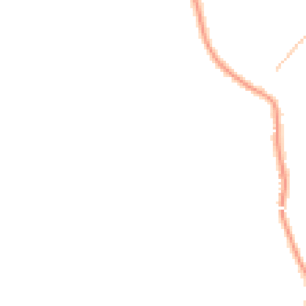
Night-time· 23:00 – 07:00
38.4dB