13 Henshaw Road, Wellingborough, NN8 2AY
About 13 Henshaw Road
13 Henshaw Road is a three-bedroom mid-terrace house in Wellingborough (NN8 2AY). It has a recorded floor area of 71 m² (around 764 sq ft), construction records dating it to 1930-1949 and council tax band B. The latest certificate (February 2014) shows a D (score 64), on the cusp of jumping into the C band. The rating has held steady at D across 3 certificates since May 2009. Between certificates, roof efficiency went from Average to Good and lighting went from Average to Very Good; while window efficiency dropped from Good to Average and hot-water efficiency dropped from Very Good to Good. The recommended improvements would lift it to B (score 85), a 2-band jump. The latest certificate is from February 2014, so improvements made since then won't be reflected.
Across 1995–2013, sale prices on this property compounded at 7.4% per year. Today's modelled estimate of £194,000 sits 81.3% above the 2013 sale of £107,000. On a £-per-square-foot basis, the last sale (£140/sq ft) was about 28.3% below the postcode norm. One planning record on file: an extension approved in 2021. Past consents include an extension, meaningful when judging how the property has evolved. 13 years since the last transfer (October 2013).
What this property has
Inside
- Bedrooms3
Everything you need to know about 13 Henshaw Road
The true value, the hidden risks and the full sale history, in one report.
Pick your report · every report is £14.99
One time fee only - money back guarantee

The data behind every report


Energy performance
Recommended upgrades on file would lift this property by multiple EPC bands.
EPC Expired
This certificate is over 10 years old and is no longer valid.Expired 28 Feb 2024
EPC Rating
Property Improvements
Changes detected from historical EPC data
Hot water efficiency decreased
More low energy lighting installed
Heating controls changed
Roof insulation improved
Get a survey for this property
Level 2 HomeBuyer Report
We've checked 10 risk factors against the available data for this property and believe a Level 2 HomeBuyer Report could be a suitable option for you.
From £495 · Includes VAT
Planning history
13 Henshaw Road has an approved single-storey rear extension on the planning record.
1 application on record at 13 Henshaw Road, Wellingborough, NN8 2AY
- Sept 2021ExtensionOutlineOutcome in report
Extension: Single storey · Rear of property
5.5m single storey rear extension with flat roof and roof window
- Documents
- 4 docs on file
- Reference
- NW/21/00688/PNX
Unlock 13 Henshaw Road, Wellingborough, NN8 2AY's full planning history
You're seeing the shape of it. The report has the substance.
- Every decision — granted, refused or withdrawn (1 on record)
- All 1 application on this property in full
- The 4 documents, officer reports & conditions
- What the pattern means for extending or converting here
One time fee only - money back guarantee
Sales history & valuation
Sale price has grown by over 3x since 1995.
£194,000
Modelled from EPC, postcode comparables and a sale-price growth of 7.4% per year over 19 years.
£107,000
Growth on file: 7.4% per year over 19 years.
Sales timeline
17 October 2013Most recent
£107,000
+81.4%over 12 years26 July 2001
£59,000
+110.7%over 6 years10 January 1995
£28,000
Median price across the last 5 sales in NN8 2AY: £210,000 (2025–2023).
Nearby sales in NN8 2AY
5 Henshaw Road, Wellingborough, NN8 2AY
Sold May 2025
£210,00027 Henshaw Road, Wellingborough, NN8 2AY
Sold Dec 2023
£175,00051 Henshaw Road, Wellingborough, NN8 2AY
Sold Sept 2023
£210,0009 Henshaw Road, Wellingborough, NN8 2AY
Sold Aug 2023
£210,000Flat 3, 17 Henshaw Road, Wellingborough, NN8 2AY
Sold Apr 2023
£145,000
Versus other Henshaw Road homes
Price per m²
£1,507
Street avg £1,696
Floor Area
71 m²
Street avg 77 m²
Habitable Rooms
5 rooms
Street avg 4 rooms
CO₂ Emissions
3.0 t/year
Street avg 3.5 t/year
Everything you need to know about 13 Henshaw Road
The true value, the hidden risks and the full sale history, in one report.
Pick your report · every report is £14.99
One time fee only - money back guarantee
The data behind every report
Similar properties nearby
The neighbourhood at a glance
Crime
5/mo
Steady year-on-year across the wider district.
Nearest stop
0.0 km
Croyland Court — bus stop.
Closest school
0.2 km
Croyland Primary School. 19 schools nearby.
Go deeper on the local area
A Local Area report breaks down crime, transport links, schools and air quality in depth.
Road noise across the postcode
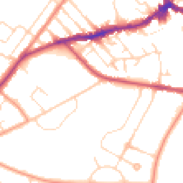
Daytime· 07:00 – 23:00
50.0dB

Night-time· 23:00 – 07:00
40.6dB