11 Henshaw Road, Wellingborough, NN8 2AY
About 11 Henshaw Road
11 Henshaw Road is a three-bedroom mid-terrace house in Wellingborough (NN8 2AY). It has a recorded floor area of 95 m² (around 1023 sq ft), construction records dating it to 1930-1949 and council tax band B. The latest certificate (August 2014) shows a D (score 55), a step below the typical UK home. When first surveyed in March 2009 the rating was E, the property has climbed 1 band since. Between certificates, window efficiency dropped from Good to Average and lighting dropped from Very Good to Very Poor. The recommended improvements would lift it to B (score 84), a 2-band jump. The latest certificate is from August 2014, so improvements made since then won't be reflected.
It hasn't traded since January 1999, a hold of 27 years that's notably long for the area. At 95 m² the property is well over the postcode median (66 m² across 26 EPCs), placing it in the larger end of the local stock. Across 1995–1999, sale prices on this property compounded at 13.3% per year. Today's modelled estimate of £197,000 sits 411.7% above the 1999 sale of £38,500. On a £-per-square-foot basis, the last sale (£38/sq ft) was about 78.1% below the postcode norm.
What this property has
Inside
- Bedrooms3
Outside
- ParkingOff road
Building
- Heating systemGas
- RefurbishedYes
Everything you need to know about 11 Henshaw Road
The true value, the hidden risks and the full sale history, in one report.
Pick your report · every report is £14.99
One time fee only - money back guarantee

The data behind every report


Energy performance
Recommended upgrades on file would lift this property by multiple EPC bands.
EPC Expired
This certificate is over 10 years old and is no longer valid.Expired 05 Aug 2024
EPC Rating
Property Improvements
Changes detected from historical EPC data
Fuel source changed
Heating controls upgraded for better temperature management
Hot water efficiency decreased
Low energy lighting percentage decreased
Changed to a more efficient fuel source
Hot water efficiency improved
Low energy lighting percentage decreased
Get a survey for this property
Level 2 HomeBuyer Report
We've checked 10 risk factors against the available data for this property and believe a Level 2 HomeBuyer Report could be a suitable option for you.
From £495 · Includes VAT
Planning history
11 Henshaw Road has no planning applications on record.
A planning report still maps activity across the surrounding area and reads this property's extension & conversion potential.
Sales history & valuation
11 Henshaw Road's modelled value sits at over four times its earliest registered sale price (1995).
£197,000
Modelled from EPC, postcode comparables and a sale-price growth of 13.3% per year over 3 years.
£38,500
Growth on file: 13.3% per year over 3 years.
Sales timeline
29 January 1999Most recent
£38,500
+48.1%over 3 years8 December 1995
£26,000
Median price across the last 5 sales in NN8 2AY: £210,000 (2025–2023).
Nearby sales in NN8 2AY
5 Henshaw Road, Wellingborough, NN8 2AY
Sold May 2025
£210,00027 Henshaw Road, Wellingborough, NN8 2AY
Sold Dec 2023
£175,00051 Henshaw Road, Wellingborough, NN8 2AY
Sold Sept 2023
£210,0009 Henshaw Road, Wellingborough, NN8 2AY
Sold Aug 2023
£210,000Flat 3, 17 Henshaw Road, Wellingborough, NN8 2AY
Sold Apr 2023
£145,000
Versus other Henshaw Road homes
On price per m², 11 Henshaw Road runs well behind the street norm.
Price per m²
£405
Street avg £1,797
Floor Area
95 m²
Street avg 76 m²
Habitable Rooms
6 rooms
Street avg 4 rooms
CO₂ Emissions
5.1 t/year
Street avg 3.4 t/year
Everything you need to know about 11 Henshaw Road
The true value, the hidden risks and the full sale history, in one report.
Pick your report · every report is £14.99
One time fee only - money back guarantee
The data behind every report
Similar properties nearby
The neighbourhood at a glance
Crime
5/mo
Steady year-on-year across the wider district.
Nearest stop
0.0 km
Croyland Court — bus stop.
Closest school
0.2 km
Croyland Primary School. 19 schools nearby.
Go deeper on the local area
A Local Area report breaks down crime, transport links, schools and air quality in depth.
Road noise across the postcode
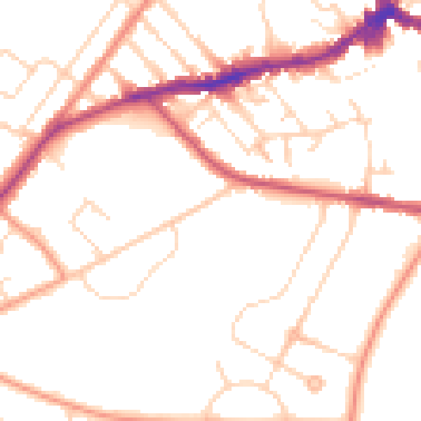
Daytime· 07:00 – 23:00
50.0dB

Night-time· 23:00 – 07:00
40.6dB