59 St Johns Road, Kettering, NN15 5AY
About 59 St Johns Road
59 St Johns Road is a three-bedroom semi-detached house in Kettering (NN15 5AY). It has a recorded floor area of 86 m² (around 926 sq ft), construction records dating it to 1950-1966 and council tax band B. The latest certificate (August 2015) shows an E (score 49), well below the UK norm with real room to improve. Earlier certificates rated it D (May 2009); the latest reading is one band lower. Between certificates, roof efficiency dropped from Good to Average and hot-water efficiency dropped from Average to Poor. The recommended improvements would lift it to B (score 87), a 3-band jump. The latest certificate is from August 2015, so improvements made since then won't be reflected.
Across 2001–2013, sale prices on this property compounded at 5.7% per year. Today's modelled estimate of £211,000 sits 75.8% above the 2013 sale of £120,000. Last changed hands 13 years ago, in June 2013. Across the public record there are 4 sales, relatively high churn for a single property. It lags the bulk of the postcode on energy efficiency (less efficient than 83% of similar EPCs).
What this property has
Inside
- Bedrooms3
Everything you need to know about 59 St Johns Road
The true value, the hidden risks and the full sale history, in one report.
Pick your report · every report is £14.99
One time fee only - money back guarantee

The data behind every report


Energy performance
59 St Johns Road's carbon output runs well above what efficient homes in the postcode produce.
EPC Expired
This certificate is over 10 years old and is no longer valid.Expired 11 Aug 2025
EPC Rating
Property Improvements
Changes detected from historical EPC data
Heating controls changed
Hot water efficiency decreased
Windows upgraded, improving insulation
Get a survey for this property
Level 2 HomeBuyer Report
We've checked 10 risk factors against the available data for this property and believe a Level 2 HomeBuyer Report could be a suitable option for you.
From £545 · Includes VAT
Planning history
59 St Johns Road has no planning applications on record.
But the area is active
5 notable applications nearby — larger schemes and conversions that could reshape the street. The report maps them all.
Sales history & valuation
Sale price has at least doubled since 2001.
£211,000
Modelled from EPC, postcode comparables and a sale-price growth of 5.7% per year over 12 years.
£120,000
Growth on file: 5.7% per year over 12 years.
Sales timeline
27 June 2013Most recent
£120,000
-7.7%over 7 years18 October 2005
£130,000
+64.6%over 3 years11 April 2002
£79,000
+31.7%over 1 year26 January 2001
£60,000
Median price across the last 5 sales in NN15 5AY: £236,500 (2024–2017).
Nearby sales in NN15 5AY
Versus other St Johns Road homes
On price per m², 59 St Johns Road runs well behind the street norm.
Price per m²
£1,395
Street avg £2,269
Floor Area
86 m²
Street avg 92 m²
Habitable Rooms
4 rooms
Street avg 5 rooms
CO₂ Emissions
6.0 t/year
Street avg 3.9 t/year
Everything you need to know about 59 St Johns Road
The true value, the hidden risks and the full sale history, in one report.
Pick your report · every report is £14.99
One time fee only - money back guarantee
The data behind every report
Similar properties nearby
1 Bridle Road, Burton Latimer
NN15 5QP
1 Barlow Court, Burton Latimer
NN15 5WA
1 Braemar Close
NN15 5DD
1 Berwick Way
NN15 5XF
1 Alice Drive, Burton Latimer
NN15 5RG
1 Baldwin Drive, Burton Latimer
NN15 5ZJ
1 Bakehouse Lane, Burton Latimer
NN15 5NJ
1 Beardsley Gardens, Barton Seagrave
NN15 5UB
The neighbourhood at a glance
Daytime road noise here sits well below conversation level — a quiet pocket of the postcode.
Crime
2/mo
Steady year-on-year across the wider district.
Nearest stop
0.1 km
French Drive — bus stop.
Closest school
0.3 km
Millbrook Junior School. 22 schools nearby.
Go deeper on the local area
A Local Area report breaks down crime, transport links, schools and air quality in depth.
Road noise across the postcode
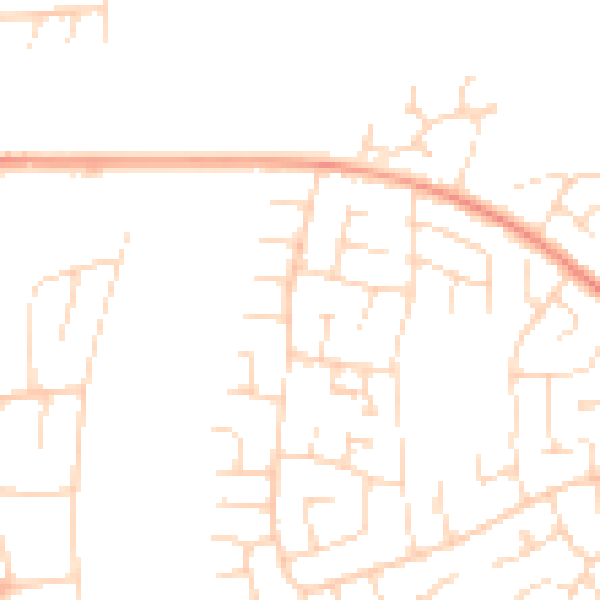
Daytime· 07:00 – 23:00
47.5dB

Night-time· 23:00 – 07:00
36.9dB