11 St Andrews Lane, Cranford, Kettering, NN14 4AQ
About 11 St Andrews Lane
11 St Andrews Lane is a three-bedroom property in Cranford, Kettering, Kettering (NN14 4AQ). It has council tax band D. It is a listed building, which means external alterations are tightly controlled but it may qualify for heritage tax reliefs. Other recorded features include notable views.
Last changed hands 11 years ago, in April 2015. Across 1996–2015, sale prices on this property compounded at 7.6% per year. One historical planning record sits against the property in 2008.
What this property has
Inside
- Bedrooms3
Outside
- Private gardenSouth-facing
- ParkingOff road
- Notable viewsYes
Building
- Listed buildingYes
- RefurbishedYes
Everything you need to know about 11 St Andrews Lane
The true value, the hidden risks and the full sale history, in one report.
Pick your report · from £14.99
One time fee only - money back guarantee

The data behind every report


Energy performance
No EPC on record
This property doesn't have an Energy Performance Certificate yet. An EPC is required to sell or let — and unlocks our automated valuation.

Get a survey for this property
Level 3 Building Survey
Because the property is a listed building, we believe a Level 3 building survey should be considered.
Planning history
1 application on record at 11 St Andrews Lane, Cranford, Kettering, NN14 4AQ
- Apr 2008RenovationHeritageOutcome in report
Update central heating system, install LPG Vessel, windows refurbished and three replaced, (dependent on condition 2) upgrade roof insulation
- Documents
- 5 docs on file
- Reference
- KET/2008/0076
Unlock 11 St Andrews Lane, Cranford, Kettering, NN14 4AQ's full planning history
You're seeing the shape of it. The report has the substance.
- Every decision — granted, refused or withdrawn (1 on record)
- All 1 application on this property in full
- The 5 documents, officer reports & conditions
- What the pattern means for extending or converting here
One time fee only - money back guarantee
Sales history & valuation
Sale price has grown by over 3x since 1996.
£305,000
Growth on file: 7.6% per year over 19 years.
Sales timeline
29 April 2015Most recent
£305,000
+22.0%over 7 years9 September 2007
£250,000
+226.8%over 11 years23 June 1996
£76,500
Median price across the last 5 sales in NN14 4AQ: £467,000 (2026–2020).
Nearby sales in NN14 4AQ
10 St Andrews Lane, Cranford, Kettering, NN14 4AQ
Sold May 2026
£701,0002 St Andrews Lane, Cranford, Kettering, NN14 4AQ
Sold Oct 2025
£490,0004 St Andrews Lane, Cranford, Kettering, NN14 4AQ
Sold Nov 2024
£410,0009 St Andrews Lane, Cranford, Kettering, NN14 4AQ
Sold Oct 2022
£349,95023 St Andrews Lane, Cranford, Kettering, NN14 4AQ
Sold Nov 2020
£467,000
Everything you need to know about 11 St Andrews Lane
The true value, the hidden risks and the full sale history, in one report.
Pick your report · from £14.99
One time fee only - money back guarantee
The data behind every report
Similar properties nearby
1 Brambleside, Thrapston
NN14 4PY
1 Bonsor Gardens, Ringstead
NN14 4QW
1 Blackbridge Court, Thrapston
NN14 4FG
1 Bodiam Close, Thrapston
NN14 4SB
1 Alledge Drive, Woodford
NN14 4JQ
1 Bates Avenue, Ringstead
NN14 4DY
1 Bridge Street, Thrapston
NN14 4JW
1 Bakers Lane, Woodford
NN14 4ET
The neighbourhood at a glance
Daytime road noise here sits well below conversation level — a quiet pocket of the postcode.
Crime
172/mo
Falling year-on-year across the wider district.
Nearest stop
0.4 km
(Cranford) Grafton Road — bus stop.
Closest school
0.5 km
Cranford CofE Primary School. 2 schools nearby.
Go deeper on the local area
A Local Area report breaks down crime, transport links, schools and air quality in depth.
Road noise across the postcode
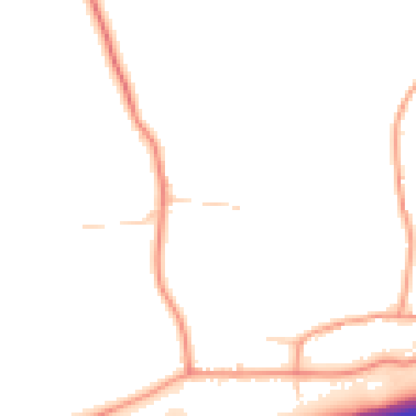
Daytime· 07:00 – 23:00
47.0dB

Night-time· 23:00 – 07:00
38.4dB