33 Burnham Street, Nottingham, NG5 2FD
About 33 Burnham Street
33 Burnham Street is a four-bedroom end-of-terrace house in Nottingham (NG5 2FD). It has a recorded floor area of 131 m² (around 1410 sq ft), construction records dating it to 1900-1929 and council tax band B. The latest certificate (October 2015) shows an E (score 40), well below the UK norm with real room to improve. The rating has held steady at E across 2 certificates since November 2008. Between certificates, window efficiency went from Very Poor to Average and lighting went from Poor to Very Good; while main heating dropped from Very Good to Good. The recommended improvements would lift it to C (score 73), a 2-band jump. The latest certificate is from October 2015, so improvements made since then won't be reflected. Period features are noted in the property record. Our model identifies extension potential, subject to local planning policy.
At 131 m² the property is well over the postcode median (92 m² across 35 EPCs), placing it in the larger end of the local stock. Last sold in September 2015, so it's been off the market for around 11 years. Across the public record there are 4 sales, relatively high churn for a single property. Across 1996–2015, sale prices on this property compounded at 6.1% per year. Today's modelled estimate of £255,000 is 47.8% above the 2015 sale price.
What this property has
Inside
- Bedrooms4
- Dining roomYes
- CloakroomYes
Outside
- Private gardenRear
Building
- Period featuresYes
- Extension potentialPossible
Everything you need to know about 33 Burnham Street
The true value, the hidden risks and the full sale history, in one report.
Pick your report · every report is £14.99
One time fee only - money back guarantee

The data behind every report


Energy performance
33 Burnham Street's carbon output runs well above what efficient homes in the postcode produce.
EPC Expired
This certificate is over 10 years old and is no longer valid.Expired 23 Oct 2025
EPC Rating
Property Improvements
Changes detected from historical EPC data
Heating controls changed
Single glazing replaced with double or better glazing
More low energy lighting installed
Get a survey for this property
Level 3 Building Survey
Because the property was built before 1919 and has solid (non-cavity) walls, we believe a Level 3 building survey should be considered.
From £885 · Includes VAT
Planning history
33 Burnham Street has no planning applications on record.
But the area is active
8 notable applications nearby — larger schemes and conversions that could reshape the street. The report maps them all.
Sales history & valuation
33 Burnham Street has more than tripled in price since its earliest registered sale in 1996.
£255,000
Modelled from EPC, postcode comparables and a sale-price growth of 6.1% per year over 19 years.
£172,500
Growth on file: 6.1% per year over 19 years.
Sales timeline
20 September 2015Most recent
£172,500
+23.2%over 12 years11 June 2003
£140,000
+100.0%over 4 years28 March 1999
£70,000
+23.9%over 2 years20 December 1996
£56,500
Median price across the last 5 sales in NG5 2FD: £214,000 (2025–2024).
Nearby sales in NG5 2FD
Versus other Burnham Street homes
Floor Area for 33 Burnham Street runs comfortably ahead of the street norm.
Price per m²
£1,317
Street avg £1,725
Floor Area
131 m²
Street avg 96 m²
Habitable Rooms
6 rooms
Street avg 5 rooms
CO₂ Emissions
7.8 t/year
Street avg 5.5 t/year
Everything you need to know about 33 Burnham Street
The true value, the hidden risks and the full sale history, in one report.
Pick your report · every report is £14.99
One time fee only - money back guarantee
The data behind every report
Similar properties nearby
1 Church Drive, Carrington
NG5 2AS
1 Burnham Street
NG5 2FD
1 Devonshire Road
NG5 2EW
1 Compton Road, Sherwood
NG5 2NH
1 Crossman Street
NG5 2HR
1 Charnwood Gardens
NG5 2AD
1 Cannon Street
NG5 2HB
1 Daybrook Avenue
NG5 2HG
The neighbourhood at a glance
Reported crime in the wider district is trending notably upward year-on-year.
Crime
4/mo
Rising year-on-year across the wider district.
Nearest stop
0.2 km
Haydn Road — bus stop.
Closest school
0.1 km
Haydn Primary School. 50 schools nearby.
Go deeper on the local area
A Local Area report breaks down crime, transport links, schools and air quality in depth.
Road noise across the postcode
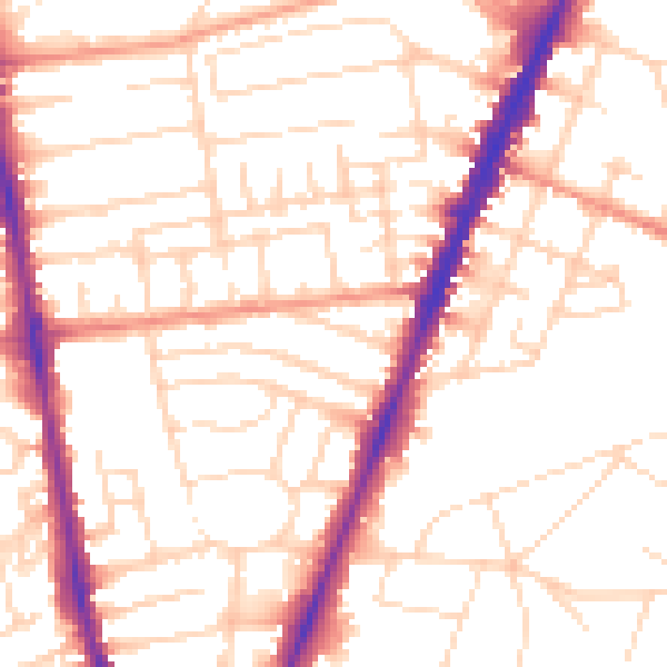
Daytime· 07:00 – 23:00
52.8dB

Night-time· 23:00 – 07:00
43.1dB