11 Burnham Street, Nottingham, NG5 2FD
About 11 Burnham Street
11 Burnham Street is a mid-terrace house in Nottingham (NG5 2FD). It has a recorded floor area of 116 m² (around 1253 sq ft), construction records dating it to 1900-1929 and council tax band B. The latest certificate (December 2008) shows a D (score 55), a step below the typical UK home. The latest certificate is from December 2008, so improvements made since then won't be reflected.
Sold October 2018 for £188,000. Across the public record there are 4 sales, relatively high churn for a single property. At 116 m² it's 26.5% larger than the typical home in the postcode (92 m² median across 35 EPCs). Across 1996–2018, sale prices on this property compounded at 5.8% per year. Today's modelled estimate of £233,000 is 23.9% above the 2018 sale price. On a £-per-square-foot basis, the last sale (£150/sq ft) was about 24.6% above the typical sold price in the postcode.
Everything you need to know about 11 Burnham Street
The true value, the hidden risks and the full sale history, in one report.
Pick your report · every report is £14.99
One time fee only - money back guarantee

The data behind every report


Energy performance
11 Burnham Street's carbon output runs well above what efficient homes in the postcode produce.
EPC Expired
This certificate is over 10 years old and is no longer valid.Expired 22 Dec 2018
EPC Rating
Get a survey for this property
Level 3 Building Survey
Because the property was built before 1919 and has solid (non-cavity) walls, we believe a Level 3 building survey should be considered.
From £885 · Includes VAT
Planning history
11 Burnham Street has no planning applications on record.
But the area is active
8 notable applications nearby — larger schemes and conversions that could reshape the street. The report maps them all.
Sales history & valuation
11 Burnham Street has more than tripled in price since its earliest registered sale in 1996.
£233,000
Modelled from EPC, postcode comparables and a sale-price growth of 5.8% per year over 23 years.
£188,000
Growth on file: 5.8% per year over 23 years.
Sales timeline
14 October 2018Most recent
£188,000
+122.5%over 17 years23 April 2001
£84,500
+47.0%over 2 years2 July 1998
£57,500
+10.6%over 2 years12 January 1996
£52,000
Median price across the last 5 sales in NG5 2FD: £214,000 (2025–2024).
Nearby sales in NG5 2FD
Versus other Burnham Street homes
Floor Area for 11 Burnham Street runs comfortably ahead of the street norm.
Price per m²
£1,615
Street avg £1,716
Floor Area
116 m²
Street avg 97 m²
Habitable Rooms
5 rooms
Street avg 5 rooms
CO₂ Emissions
6.0 t/year
Street avg 5.5 t/year
Everything you need to know about 11 Burnham Street
The true value, the hidden risks and the full sale history, in one report.
Pick your report · every report is £14.99
One time fee only - money back guarantee
The data behind every report
Similar properties nearby
1 Crossman Street
NG5 2HR
1 Burnham Street
NG5 2FD
1 Clandon Drive
NG5 2AN
1 Charnwood Gardens
NG5 2AD
1 Daybrook Street
NG5 2HD
1 Cannon Street
NG5 2HB
1 Church Drive, Carrington
NG5 2AS
1 Compton Road, Sherwood
NG5 2NH
The neighbourhood at a glance
Reported crime in the wider district is trending notably upward year-on-year.
Crime
4/mo
Rising year-on-year across the wider district.
Nearest stop
0.2 km
Haydn Road — bus stop.
Closest school
0.1 km
Haydn Primary School. 50 schools nearby.
Go deeper on the local area
A Local Area report breaks down crime, transport links, schools and air quality in depth.
Road noise across the postcode
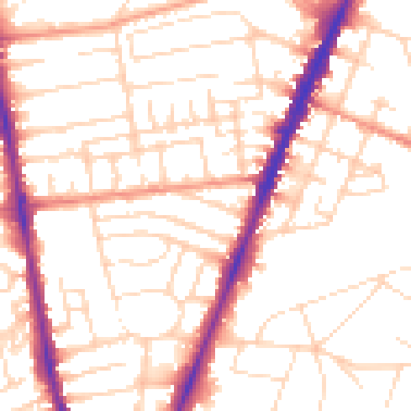
Daytime· 07:00 – 23:00
52.8dB

Night-time· 23:00 – 07:00
43.1dB