19 Arun Dale, Mansfield Woodhouse, Mansfield, NG19 9RE
About 19 Arun Dale
19 Arun Dale is a three-bedroom detached house in Mansfield Woodhouse, Mansfield, Mansfield (NG19 9RE). It has a recorded floor area of 88 m² (around 947 sq ft), construction records dating it to 1983-1990 and council tax band C. The latest certificate (May 2015) shows a D (score 59), a step below the typical UK home. The recommended improvements would push it to C (score 78). The latest certificate is from May 2015, so improvements made since then won't be reflected.
Today's modelled estimate of £243,000 sits 55.8% above the 2015 sale of £156,000. On a £-per-square-foot basis, the last sale (£165/sq ft) was about 31% above the typical sold price in the postcode. Last changed hands 11 years ago, in August 2015. At 88 m² it's 17.8% smaller than the typical home in the postcode (107 m² median across 27 EPCs).
What this property has
Inside
- Bedrooms3
- Dining roomYes
- StudyYes
Outside
- GarageYes
Building
- RefurbishedYes
Everything you need to know about 19 Arun Dale
The true value, the hidden risks and the full sale history, in one report.
Pick your report · every report is £14.99
One time fee only - money back guarantee

The data behind every report


Energy performance
19 Arun Dale's EPC is over a decade old — improvements since won't be reflected.
EPC Expired
This certificate is over 10 years old and is no longer valid.Expired 17 May 2025
EPC Rating
Get a survey for this property
Level 2 HomeBuyer Report
We've checked 10 risk factors against the available data for this property and believe a Level 2 HomeBuyer Report could be a suitable option for you.
From £545 · Includes VAT
Planning history
19 Arun Dale has no planning applications on record.
A planning report still maps activity across the surrounding area and reads this property's extension & conversion potential.
Sales history & valuation
19 Arun Dale valuation sits well clear of the typical sold price in this postcode.
£243,000
Modelled from EPC, postcode comparables.
£156,000
Recorded with HM Land Registry.
Sales timeline
13 August 2015Most recent
£156,000
Median price across the last 5 sales in NG19 9RE: £305,000 (2023–2021).
Nearby sales in NG19 9RE
79 Arun Dale, Mansfield Woodhouse, Mansfield, NG19 9RE
Sold Jan 2023
£305,50047 Arun Dale, Mansfield Woodhouse, Mansfield, NG19 9RE
Sold Mar 2022
£305,00033 Arun Dale, Mansfield Woodhouse, Mansfield, NG19 9RE
Sold Oct 2021
£187,50085 Arun Dale, Mansfield Woodhouse, Mansfield, NG19 9RE
Sold Aug 2021
£495,00031 Arun Dale, Mansfield Woodhouse, Mansfield, NG19 9RE
Sold Feb 2021
£185,000
Versus other Arun Dale homes
On habitable rooms, 19 Arun Dale runs well behind the street norm.
Price per m²
£1,773
Street avg £1,906
Floor Area
88 m²
Street avg 105 m²
Habitable Rooms
5 rooms
Street avg 6 rooms
CO₂ Emissions
4.7 t/year
Street avg 4.3 t/year
Everything you need to know about 19 Arun Dale
The true value, the hidden risks and the full sale history, in one report.
Pick your report · every report is £14.99
One time fee only - money back guarantee
The data behind every report
Similar properties nearby
1 Ashwell Avenue, Mansfield Woodhouse
NG19 9ER
1 Albany Close, Mansfield Woodhouse
NG19 9AG
1 Beechdale Road, Mansfield Woodhouse
NG19 9GQ
1 Belmont Close, Mansfield Woodhouse
NG19 9GD
1 Birkland Avenue, Mansfield Woodhouse
NG19 9BZ
1 Blakeney Court, Mansfield Woodhouse
NG19 9PF
1 Burns Avenue, Mansfield Woodhouse
NG19 9JR
1 Brimington Court, Mansfield Woodhouse
NG19 9PL
The neighbourhood at a glance
Crime
3/mo
Steady year-on-year across the wider district.
Nearest stop
0.2 km
King Street — bus stop.
Closest school
0.4 km
St Edmund's CofE (C) Primary & Nursery School. 24 schools nearby.
Go deeper on the local area
A Local Area report breaks down crime, transport links, schools and air quality in depth.
Road noise across the postcode
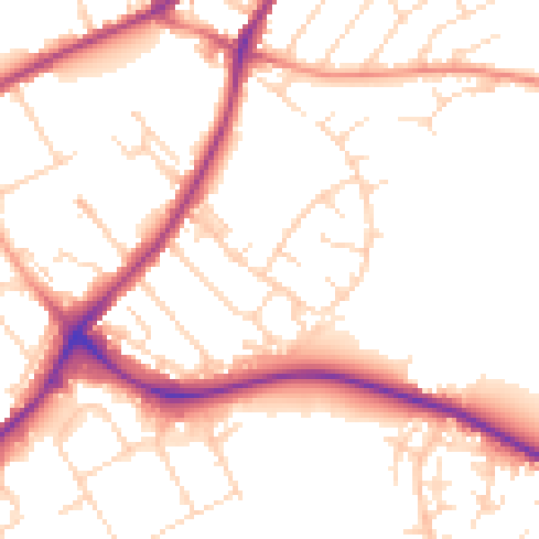
Daytime· 07:00 – 23:00
51.9dB

Night-time· 23:00 – 07:00
42.9dB