28b, Bath Street, Nottingham, NG1 1DF
About 28b
28b is a semi-detached house in Nottingham (NG1 1DF). It has a recorded floor area of 71 m² (around 764 sq ft), construction records dating it to 1996-2002 and council tax band A. At 71 m² this is the 28th smallest of 33 units on EPC record in the building, where floor areas span 30–116 m². The building's EPC ratings span E to B across 33 units on file. The latest certificate (July 2019) shows a C (score 70). Main heating runs on electricity.
Across 2001–2016, sale prices on this property compounded at 9.8% per year. Today's modelled estimate of £135,000 is 47.1% below the 2016 sale of £255,000, running counter to the wider postcode trend, which makes the EPC and condition history especially worth a look. On a £-per-square-foot basis, the last sale (£334/sq ft) was about 152.8% above the typical sold price in the postcode. At 71 m² the property is well over the postcode median (43 m² across 32 EPCs), placing it in the larger end of the local stock. 9 years since the last transfer (December 2016).
Everything you need to know about 28b
The true value, the hidden risks and the full sale history, in one report.
Pick your report · every report is £14.99
One time fee only - money back guarantee

The data behind every report


Energy performance
EPC Rating
Get a survey for this property
Level 3 Building Survey
Because the property has no mains gas supply, we believe a Level 3 building survey should be considered.
From £820 · Includes VAT
Planning history
28b has no planning applications on record.
But the area is active
14 notable applications nearby — larger schemes and conversions that could reshape the street. The report maps them all.
Sales history & valuation
Latest sale on 28b was the highest on Land Registry record across the postcode.
£135,000
Modelled from EPC, postcode comparables and a sale-price growth of 9.8% per year over 15 years.
£255,000
Growth on file: 9.8% per year over 15 years.
Sales timeline
16 December 2016Most recent
£255,000
+325.0%over 15 years24 June 2001
£60,000
Median price across the last 5 sales in NG1 1DF: £70,000 (2016–2016).
Nearby sales in NG1 1DF
Versus other Bath Street homes
28b outperforms the street on price per m² by a wide margin.
Price per m²
£3,592
Street avg £1,464
Floor Area
71 m²
Street avg 51 m²
Habitable Rooms
3 rooms
Street avg 3 rooms
CO₂ Emissions
3.8 t/year
Street avg 2.4 t/year
Everything you need to know about 28b
The true value, the hidden risks and the full sale history, in one report.
Pick your report · every report is £14.99
One time fee only - money back guarantee
The data behind every report
Similar properties nearby
The neighbourhood at a glance
Reported crime in the wider district is trending notably upward year-on-year.
Crime
39/mo
Rising year-on-year across the wider district.
Nearest stop
0.1 km
Roden Street — bus stop.
Closest school
0.5 km
William Booth Primary and Nursery School. 41 schools nearby.
Go deeper on the local area
A Local Area report breaks down crime, transport links, schools and air quality in depth.
Road noise across the postcode
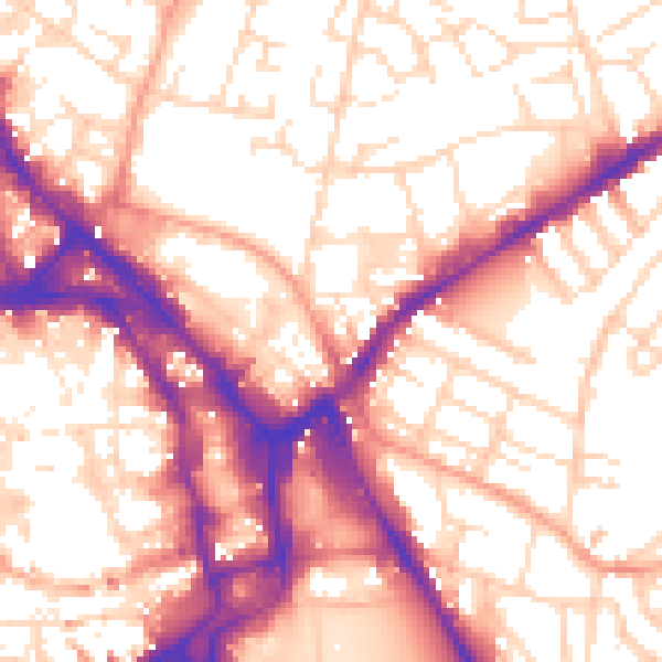
Daytime· 07:00 – 23:00
56.6dB

Night-time· 23:00 – 07:00
46.4dB