1 Saddleback, Washington, NE37 1BT
About 1 Saddleback
1 Saddleback is an end-of-terrace house in Washington (NE37 1BT). It has a recorded floor area of 86 m² (around 926 sq ft), construction records dating it to 1976-1982 and council tax band A. The latest certificate (February 2014) shows a D (score 67), on the cusp of jumping into the C band. The recommended improvements would lift it to B (score 86), a 2-band jump. The latest certificate is from February 2014, so improvements made since then won't be reflected.
It hasn't traded since April 2005, a hold of 21 years that's notably long for the area. It lags the bulk of the postcode on energy efficiency (less efficient than 85% of similar EPCs). Today's modelled estimate of £130,000 is 23.8% above the 2005 sale price.
Know exactly what you're buying at 1 Saddleback
Before you offer, see what the listing won't tell you, the true value, the red flags and the full history.
Launch offer · save £5
Valuation
against the asking price
Risks
planning & flood
Sold prices
similar homes nearby
Trends
the local market
Energy performance
Recommended upgrades on file would lift this property by multiple EPC bands.
EPC Expired
This certificate is over 10 years old and is no longer valid.Expired 28 Feb 2024
EPC Rating
Planning history
1 Saddleback has no planning applications on record.
The full report still covers planning activity across the surrounding area.
Sales history & valuation
£130,000
Modelled from EPC, postcode comparables.
£105,000
Recorded with HM Land Registry.
Sales timeline
21 April 2005Most recent
£105,000
Median price across the last 5 sales in NE37 1BT: £104,500 (2021–2008).
Everything we know about 1 Saddleback, in one report
What it's really worth, what could be wrong, and the planning, sales and area data in full.
- Am I paying too much?
- Is something wrong with it?
- Is the agent's story true?
- Will it hold its value?

Versus other Saddleback homes
1 Saddleback outperforms the street on years held by a wide margin.
Price per m²
£1,221
Street avg £1,092
Floor Area
86 m²
Street avg 88 m²
Habitable Rooms
4 rooms
Street avg 5 rooms
CO₂ Emissions
3.5 t/year
Street avg 3.0 t/year
Similar properties nearby
The neighbourhood at a glance
Reported crime in the wider district is trending notably upward year-on-year.
Crime
5/mo
Rising year-on-year across the wider district.
Nearest stop
0.3 km
Blue House Lane-Havannah Road — bus stop.
Closest school
0.3 km
Albany Village Primary School. 24 schools nearby.
Go deeper on the local area
The full report breaks down crime, transport links, schools and air quality in depth.
Road noise across the postcode
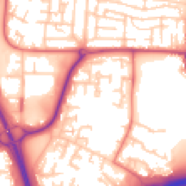
Daytime· 07:00 – 23:00
56.1dB

Night-time· 23:00 – 07:00
46.1dB