13 Beechfield Road, Newcastle Upon Tyne, NE3 4DR
About 13 Beechfield Road
13 Beechfield Road is a five-bedroom detached house in Newcastle Upon Tyne (NE3 4DR). It has a recorded floor area of 229 m² (around 2465 sq ft), construction records dating it to 1900-1929 and council tax band G. The latest certificate (January 2014) shows an E (score 53), well below the UK norm with real room to improve. The rating has held steady at E across 2 certificates since March 2010. Between certificates, lighting went from Poor to Good; while roof efficiency dropped from Very Good to Good and hot-water efficiency dropped from Very Good to Average. The recommended improvements would lift it to C (score 76), a 2-band jump. The latest certificate is from January 2014, so improvements made since then won't be reflected.
3 planning records sit against the property, 1 approved, 0 refused. Past consents include an extension, meaningful when judging how the property has evolved. The record references conservation-area consent, which constrain future alterations. At 229 m² it sits well below the postcode median (339 m² across 4 EPCs), making it one of the more compact homes locally. It lags the bulk of the postcode on energy efficiency (less efficient than 75% of similar EPCs). Today's modelled estimate of £1,314,000 is 33.4% above the 2013 sale price. On a £-per-square-foot basis, the last sale (£400/sq ft) was about 98.1% above the typical sold price in the postcode. On the market in April 2013 and unlisted since — roughly 13 years.
What this property has
Inside
- Bedrooms5
Everything you need to know about 13 Beechfield Road
The true value, the hidden risks and the full sale history, in one report.
30-day money-back guarantee

The data behind every report


Energy performance
13 Beechfield Road's carbon output runs well above what efficient homes in the postcode produce.
EPC Expired
This certificate is over 10 years old and is no longer valid.Expired 07 Jan 2024
EPC Rating
Property Improvements
Changes detected from historical EPC data
Hot water system changed
More low energy lighting installed
Planning history
13 Beechfield Road has an approved single-storey rear extension on the planning record.
- Jul 2021Tree WorksTreesIn report
Trees in a Conservation Area Notification: 2 Cherry trees one to be removed and the other to be cut back by 2m. Sycamore and 3 Lime trees to have a 4m crown lift. 2 Holly trees to be reduced by 4m. 3 Beech to be reduced by 3m.
Conservation Area- Documents
- 2 docs on file
- Reference
- 2021/1557/01/TCA
- Jun 2016ExtensionFullIn report
Extension: Single storey · Rear of property
Erection of single storey extension to rear of existing garage and removal of existing chimney from eastern elevation, reposition boundary wall and entrance gates with total height 2.5 metres. As supplemented by information received on 24.06.2016 and 29.06.2016.
- Reference
- 2016/0514/01/DET
We flagged 1 thing worth checking at 13 Beechfield Road
Independent checks surfaced things a buyer would want to understand before offering. The report explains each one in full, with the underlying data and what to ask.
- Larger development activity nearby
30-day money-back guarantee
Sales history & valuation
13 Beechfield Road valuation sits well clear of the typical sold price in this postcode.
£1,314,000
Modelled from EPC, postcode comparables.
£985,000
Recorded with HM Land Registry.
Sales timeline
17 April 2013Most recent
£985,000
Median price across the last 5 sales in NE3 4DR: £970,000 (2024–2009).
Nearby sales in NE3 4DR
Versus other Beechfield Road homes
Years Held for 13 Beechfield Road runs comfortably ahead of the street norm.
Price per m²
£4,301
Street avg £3,254
Floor Area
229 m²
Street avg 351 m²
Habitable Rooms
9 rooms
Street avg 11 rooms
CO₂ Emissions
12.0 t/year
Street avg 16.8 t/year
Everything you need to know about 13 Beechfield Road
The true value, the hidden risks and the full sale history, in one report.
30-day money-back guarantee
The data behind every report
Similar properties nearby
The neighbourhood at a glance
Crime
6/mo
Steady year-on-year across the wider district.
Nearest stop
0.4 km
Salters Road-Sanderson Hospital — bus stop.
Closest school
0.6 km
Archibald First School. 27 schools nearby.
Go deeper on the local area
The full report breaks down crime, transport links, schools and air quality in depth.
Road noise across the postcode
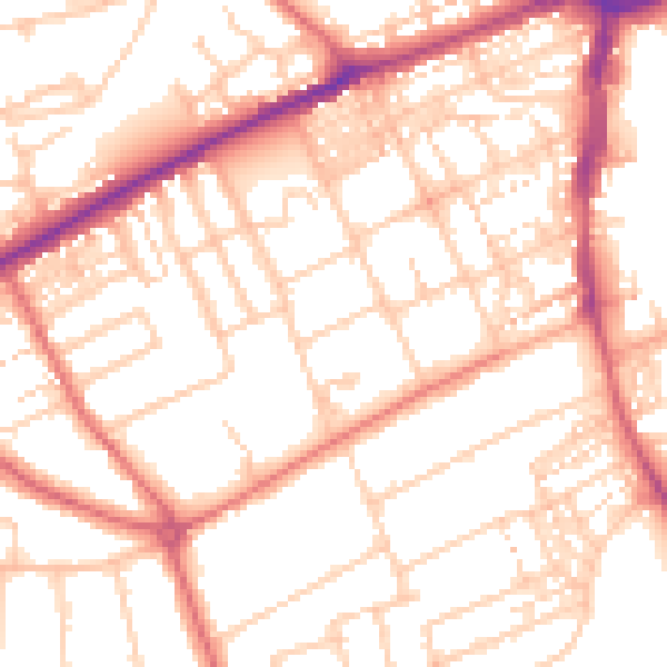
Daytime· 07:00 – 23:00
53.4dB

Night-time· 23:00 – 07:00
42.0dB