3 South Bank, Otterburn Villas, Newcastle Upon Tyne, NE2 3AR
About 3 South Bank
3 South Bank is a semi-detached house in Newcastle Upon Tyne (NE2 3AR). It has a recorded floor area of 40 m² (around 431 sq ft), construction records dating it to 1900-1929 and council tax band A. At 40 m² this is the 2nd smallest of 9 units on EPC record in the building, where floor areas span 19–78 m². The building's EPC ratings span D to C, with this unit at the top. The latest certificate (January 2020) shows a C (score 77), near the top of the C band. The rating has held steady at C across 2 certificates since December 2009. Between certificates, wall efficiency went from Very Poor to Poor, window efficiency went from Poor to Average and lighting went from Poor to Very Good; while hot-water efficiency dropped from Very Good to Good and main heating dropped from Very Good to Good.
At 40 m² it's 25.9% smaller than the typical home in the postcode (54 m² median across 31 EPCs). One historical planning record sits against the property in 2025.
Know exactly what you're buying at 3 South Bank
Before you offer, see what the listing won't tell you, the true value, the red flags and the full history.
Already flagged here
Valuation
against the asking price
Risks
planning & flood
Sold prices
similar homes nearby
Trends
the local market
Energy performance
3 South Bank's carbon output is low for the local stock.
EPC Rating
Property Improvements
Changes detected from historical EPC data
Hot water efficiency decreased
Window efficiency improved
Wall insulation improved
More low energy lighting installed
Planning history
- Mar 2025Tree WorksTreesIn report
T Sycamore (T1) crown raise 4 metres from ground level. Crown reduce height by 3 metres. Crown reduce to by 2m on East side facing building. Sycamore (T2) Crown raise 4 metres from ground level. Crown reduce height by 3 metres. Crown reduce to by 2m on North East side facing building. Sycamore (T3) remove ivy, sever from base, crown reduce by 3 metres height. Crown reduce sides by 2-2.5 metres. Ash (T4) remove 1 x smaller main stem to ground level. Crown reduce height by 2.8 metres. Crown reduce over road by 2 - 2.5 metres varying. Remove all deadwood . (Amendment agreed email 15/4/25)
- Reference
- 2025/0357/01/TCA
We flagged 1 thing worth checking at 3 South Bank
Independent checks surfaced things a buyer would want to understand before offering. The report explains each one in full, with the underlying data and what to ask.
- Signs of HMO activity in the area
30-day money-back guarantee
Sales history & valuation
3 South Bank has no Land Registry sales on file, suggesting it has stayed in the same hands since registration began.
£144,000
Modelled from EPC, postcode comparables.
No sales recorded with HM Land Registry
That can mean the property has never traded since the registry began publishing in 1995, was a new build that hasn't been registered yet, or is held in the same hands long-term.
Median price across the last 5 sales in NE2 3AR: £300,000 (2024–2020).
Nearby sales in NE2 3AR
Lindisfarne, 5, 5 Otterburn Villas, Newcastle Upon Tyne, NE2 3AR
Sold Jul 2024
£160,000The Porte, Otterburn Villas, Newcastle Upon Tyne, NE2 3AR
Sold Mar 2023
£800,0001 South Bank, Otterburn Villas, Newcastle Upon Tyne, NE2 3AR
Sold Feb 2023
£1,279,5003 North Bank, Otterburn Villas, Newcastle Upon Tyne, NE2 3AR
Sold Mar 2022
£300,000Lindisfarne, 3, 5 Otterburn Villas, Newcastle Upon Tyne, NE2 3AR
Sold Nov 2020
£136,000
Everything we know about 3 South Bank, in one report
What it's really worth, what could be wrong, and the planning, sales and area data in full.
What we flagged
- Signs of HMO activity in the area

Versus other Otterburn Villas homes
On epc rating, 3 South Bank stands well clear of the street.
EPC Rating
77 (C)
Street avg 63 (D)
Floor Area
40 m²
Street avg 58 m²
CO₂ Emissions
1.3 t/year
Street avg 3.4 t/year
Habitable Rooms
2 rooms
Street avg 3 rooms
Similar properties nearby
The neighbourhood at a glance
Rail-style transport is unusually close for this postcode.
Crime
5/mo
Steady year-on-year across the wider district.
Nearest stop
0.1 km
Osborne Road - Holly Avenue — bus stop.
Closest school
0.4 km
West Jesmond Primary School. 30 schools nearby.
Go deeper on the local area
The full report breaks down crime, transport links, schools and air quality in depth.
Road noise across the postcode
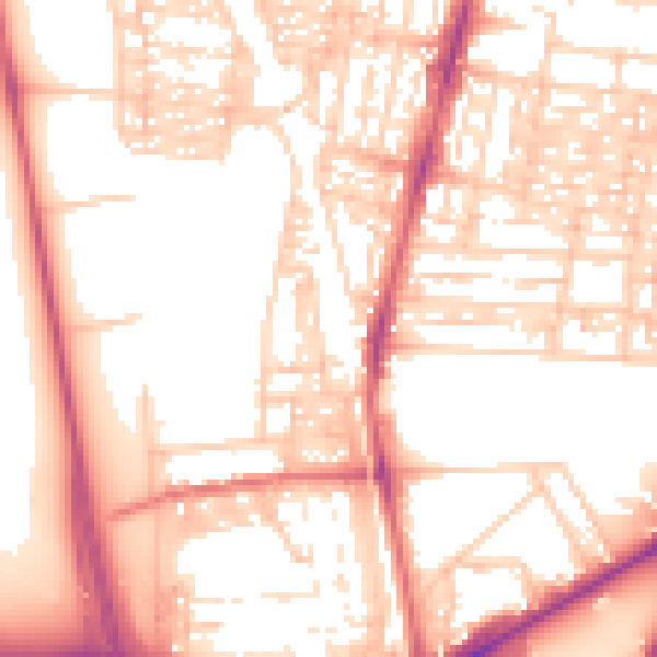
Daytime· 07:00 – 23:00
55.1dB

Night-time· 23:00 – 07:00
44.0dB