16 Queens Road, Jesmond, Newcastle Upon Tyne, NE2 2PP
About 16 Queens Road
16 Queens Road is a seven-bedroom mid-terrace house in Jesmond, Newcastle Upon Tyne, Newcastle Upon Tyne (NE2 2PP). It has a recorded floor area of 221 m² (around 2379 sq ft), construction records dating it to before 1900 and council tax band E. The latest certificate (September 2014) shows a D (score 64), on the cusp of jumping into the C band. The recommended improvements would push it to C (score 76). The latest certificate is from September 2014, so improvements made since then won't be reflected.
At 221 m² the property is well over the postcode median (130 m² across 13 EPCs), placing it in the larger end of the local stock. 7 bedrooms is on the larger side for this postcode, where 4 is the typical count. 2 planning records sit against the property, 2 approved, 0 refused. Past consents include an extension, meaningful when judging how the property has evolved. Across 2015–2023, sale prices on this property compounded at 5% per year. On a £-per-square-foot basis, the last sale (£296/sq ft) was about 46.7% above the typical sold price in the postcode. Most recent transfer: July 2023 at £703,000.
Know exactly what you're buying at 16 Queens Road
Before you offer, see what the listing won't tell you, the true value, the red flags and the full history.
Already flagged here
Valuation
against the asking price
Risks
planning & flood
Sold prices
similar homes nearby
Trends
the local market
What this property has
Inside
- Bedrooms7
Outside
- GarageDouble
Building
- ConciergeYes
Energy performance
16 Queens Road's carbon output runs well above what efficient homes in the postcode produce.
EPC Expired
This certificate is over 10 years old and is no longer valid.Expired 08 Sept 2024
EPC Rating
Planning history
- Sept 2024ExtensionAmendmentIn report
Extension: Rear of property
Non Material Amendment: Removal of rear utility extension and change to window/door configuration to planning permission 2024/0348/01/HOU dated 10.05.2024 – Erection of 2no. single storey extensions to rear and alterations to rear boundary wall including widening of vehicle access and installation of roller shutter garage door.
- Reference
- 2024/0348/02/NMA
- Mar 2024ExtensionFullIn report
Extension: Rear of property
Erection of 2no. single storey extensions to rear and alterations to rear boundary wall including widening of vehicle access and installation of roller shutter garage door.
- Reference
- 2024/0348/01/HOU
We flagged 1 thing worth checking at 16 Queens Road
Independent checks surfaced things a buyer would want to understand before offering. The report explains each one in full, with the underlying data and what to ask.
- Signs of HMO activity in the area
30-day money-back guarantee
Sales history & valuation
Latest sale on 16 Queens Road was the highest on Land Registry record across the postcode.
£666,000
Modelled from EPC, postcode comparables and a sale-price growth of 5.0% per year over 8 years.
£703,000
Growth on file: 5.0% per year over 8 years.
Sales timeline
9 July 2023Most recent
£703,000
+50.9%over 8 years19 February 2015
£466,000
Median price across the last 5 sales in NE2 2PP: £428,000 (2022–2015).
Nearby sales in NE2 2PP
14 Queens Road, Jesmond, Newcastle Upon Tyne, NE2 2PP
Sold Dec 2022
£680,0006 Queens Road, Jesmond, Newcastle Upon Tyne, NE2 2PP
Sold Jan 2021
£428,00022 Queens Road, Jesmond, Newcastle Upon Tyne, NE2 2PP
Sold Feb 2018
£230,00012 Queens Road, Jesmond, Newcastle Upon Tyne, NE2 2PP
Sold Nov 2017
£550,0004 Queens Road, Jesmond, Newcastle Upon Tyne, NE2 2PP
Sold Apr 2015
£132,500
Everything we know about 16 Queens Road, in one report
What it's really worth, what could be wrong, and the planning, sales and area data in full.
What we flagged
- Signs of HMO activity in the area

Versus other Queens Road homes
16 Queens Road is notably below the street on years held.
Price per m²
£3,181
Street avg £2,849
Floor Area
221 m²
Street avg 215 m²
Habitable Rooms
8 rooms
Street avg 8 rooms
CO₂ Emissions
8.9 t/year
Street avg 11.8 t/year
Similar properties nearby
The neighbourhood at a glance
Rail-style transport is unusually close for this postcode.
Crime
5/mo
Steady year-on-year across the wider district.
Nearest stop
0.1 km
Osborne Road - Lily Avenue — bus stop.
Closest school
0.4 km
West Jesmond Primary School. 32 schools nearby.
Go deeper on the local area
The full report breaks down crime, transport links, schools and air quality in depth.
Road noise across the postcode
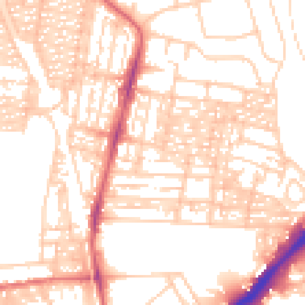
Daytime· 07:00 – 23:00
54.1dB

Night-time· 23:00 – 07:00
41.9dB