73 Greystoke Avenue, Newcastle Upon Tyne, NE2 1PN
About 73 Greystoke Avenue
73 Greystoke Avenue is a mid-terrace house in Newcastle Upon Tyne (NE2 1PN). It has a recorded floor area of 117 m² (around 1259 sq ft), construction records dating it to 1900-1929 and council tax band A. At 117 m² this is the 65th smallest of 69 units on EPC record in the building, where floor areas span 49–121 m². The building's EPC ratings span E to C, with this unit at the bottom. The latest certificate (November 2016) shows an E (score 47), well below the UK norm with real room to improve. The rating has held steady at E across 3 certificates since January 2009. Between certificates, window efficiency dropped from Good to Average and lighting dropped from Very Good to Very Poor. The recommended improvements would lift it to C (score 78), a 2-band jump.
At 117 m² the property is well over the postcode median (68 m² across 68 EPCs), placing it in the larger end of the local stock. On energy efficiency it sits in the bottom 10% of properties in this postcode — significant headroom for improvement. One planning record on file: a loft conversion approved in 2002. Past consents include a loft conversion, meaningful when judging how the property has evolved. Across 1995–2024, sale prices on this property compounded at 5.2% per year. On a £-per-square-foot basis, the last sale (£148/sq ft) was about 15.3% above the typical sold price in the postcode. Most recent transfer: February 2024 at £186,000.
Know exactly what you're buying at 73 Greystoke Avenue
Before you offer, see what the listing won't tell you, the true value, the red flags and the full history.
Already flagged here
Valuation
against the asking price
Risks
planning & flood
Sold prices
similar homes nearby
Trends
the local market
Energy performance
73 Greystoke Avenue sits at the bottom of the postcode for energy efficiency — meaningful headroom to improve.
EPC Rating
Property Improvements
Changes detected from historical EPC data
Heating controls changed
Wall insulation improved
More low energy lighting installed
Heating controls upgraded for better temperature management
Low energy lighting percentage decreased
Planning history
- Aug 2002Loft ConversionFullIn report
Installation of rooflights to front and rear to provide bedroom in roofspace
- Reference
- 2002/1102/01/DET
We flagged 1 thing worth checking at 73 Greystoke Avenue
Independent checks surfaced things a buyer would want to understand before offering. The report explains each one in full, with the underlying data and what to ask.
- Signs of HMO activity in the area
30-day money-back guarantee
Sales history & valuation
73 Greystoke Avenue has more than quadrupled in price since its earliest registered sale in 1995.
£187,000
Modelled from EPC, postcode comparables and a sale-price growth of 5.2% per year over 28 years.
£186,000
Growth on file: 5.2% per year over 28 years.
Sales timeline
16 February 2024Most recent
£186,000
+134.0%over 22 years23 August 2001
£79,500
+73.0%over 4 years1 May 1997
£45,950
+2.1%over 1 year15 December 1995
£45,000
Median price across the last 5 sales in NE2 1PN: £160,000 (2025–2024).
Nearby sales in NE2 1PN
72 Greystoke Avenue, Newcastle Upon Tyne, NE2 1PN
Sold Aug 2025
£175,00061 Greystoke Avenue, Newcastle Upon Tyne, NE2 1PN
Sold May 2025
£162,50056 Greystoke Avenue, Newcastle Upon Tyne, NE2 1PN
Sold Mar 2025
£130,00047 Greystoke Avenue, Newcastle Upon Tyne, NE2 1PN
Sold Jul 2024
£160,00045 Greystoke Avenue, Newcastle Upon Tyne, NE2 1PN
Sold Jul 2024
£160,000
Everything we know about 73 Greystoke Avenue, in one report
What it's really worth, what could be wrong, and the planning, sales and area data in full.
What we flagged
- Signs of HMO activity in the area

Versus other Greystoke Avenue homes
On co₂ emissions, 73 Greystoke Avenue runs well behind the street norm.
Price per m²
£1,590
Street avg £1,869
Floor Area
117 m²
Street avg 76 m²
Habitable Rooms
4 rooms
Street avg 4 rooms
CO₂ Emissions
9.0 t/year
Street avg 3.6 t/year
Similar properties nearby
The neighbourhood at a glance
Crime
5/mo
Steady year-on-year across the wider district.
Nearest stop
0.1 km
Springbank Road — bus stop.
Closest school
0.1 km
St Catherine's Catholic Primary School. 29 schools nearby.
Go deeper on the local area
The full report breaks down crime, transport links, schools and air quality in depth.
Road noise across the postcode
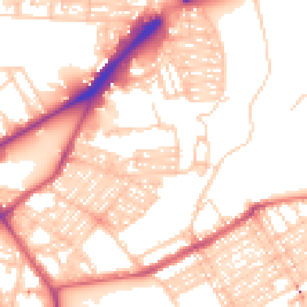
Daytime· 07:00 – 23:00
54.8dB

Night-time· 23:00 – 07:00
43.6dB