61 Greystoke Avenue, Newcastle Upon Tyne, NE2 1PN
About 61 Greystoke Avenue
61 Greystoke Avenue is a mid-terrace house in Newcastle Upon Tyne (NE2 1PN). It has a recorded floor area of 97 m² (around 1044 sq ft), construction records dating it to 1900-1929 and council tax band A. The latest certificate (October 2022) shows a D (score 58), a step below the typical UK home. The rating has held steady at D across 2 certificates since October 2012. Between certificates, wall efficiency went from Very Poor to Poor, window efficiency went from Poor to Average and lighting went from Poor to Very Good. The recommended improvements would push it to C (score 76).
At 97 m² the property is well over the postcode median (68 m² across 68 EPCs), placing it in the larger end of the local stock. Most recent transfer was May 2025 at £162,500 — fresh data. 3 planning records sit against the property, 3 approved, 0 refused. Past consents include HMO conversion, an extension and subdivision, meaningful when judging how the property has evolved. Across 2021–2025, sale prices on this property compounded at 9.4% per year. On a £-per-square-foot basis, the last sale (£156/sq ft) was about 22.8% above the typical sold price in the postcode.
Know exactly what you're buying at 61 Greystoke Avenue
Before you offer, see what the listing won't tell you, the true value, the red flags and the full history.
Already flagged here
Valuation
against the asking price
Risks
planning & flood
Sold prices
similar homes nearby
Trends
the local market
Energy performance
EPC Rating
Property Improvements
Changes detected from historical EPC data
Heating controls upgraded for better temperature management
Windows upgraded, improving insulation
Wall insulation improved
More low energy lighting installed
Planning history
Council records show a subdivision application — the property's legal arrangement has been altered.
- Sept 2018RenovationFullIn report
Replacement of external staircase with 1m high balcony
- Documents
- 4 docs on file
- Reference
- 2018/0962/01/DET
- Apr 2016HMOAmendmentIn report
Lawful Development Certificate for existing use as HMO (Class C4)
Retrospective- Reference
- 2016/0299/01/LDC
We flagged 1 thing worth checking at 61 Greystoke Avenue
Independent checks surfaced things a buyer would want to understand before offering. The report explains each one in full, with the underlying data and what to ask.
- Signs of HMO activity in the area
30-day money-back guarantee
Sales history & valuation
61 Greystoke Avenue valuation sits well clear of the typical sold price in this postcode.
£162,000
Modelled from EPC, postcode comparables and a sale-price growth of 9.4% per year over 4 years.
£162,500
Growth on file: 9.4% per year over 4 years.
Sales timeline
26 May 2025Most recent
£162,500
+45.1%over 4 years30 March 2021
£112,000
Median price across the last 5 sales in NE2 1PN: £160,000 (2025–2024).
Nearby sales in NE2 1PN
72 Greystoke Avenue, Newcastle Upon Tyne, NE2 1PN
Sold Aug 2025
£175,00056 Greystoke Avenue, Newcastle Upon Tyne, NE2 1PN
Sold Mar 2025
£130,00047 Greystoke Avenue, Newcastle Upon Tyne, NE2 1PN
Sold Jul 2024
£160,00045 Greystoke Avenue, Newcastle Upon Tyne, NE2 1PN
Sold Jul 2024
£160,00073 Greystoke Avenue, Newcastle Upon Tyne, NE2 1PN
Sold Feb 2024
£186,000
Everything we know about 61 Greystoke Avenue, in one report
What it's really worth, what could be wrong, and the planning, sales and area data in full.
What we flagged
- Signs of HMO activity in the area

Versus other Greystoke Avenue homes
Years Held for 61 Greystoke Avenue lags the street by a wide margin.
Price per m²
£1,675
Street avg £1,867
Floor Area
97 m²
Street avg 76 m²
Habitable Rooms
5 rooms
Street avg 4 rooms
CO₂ Emissions
5.4 t/year
Street avg 3.6 t/year
Similar properties nearby
1 Middleton Court, Hutton Terrace, Jesmond
NE2 1QY
1 Greystoke Avenue
NE2 1PN
1 Chelmsford Lofts, Chelmsford Grove
NE2 1DY
1 Copland Terrace
NE2 1YB
1 Granville Gardens
NE2 1HL
1 Kelvin Grove
NE2 1RL
1 Helmsley Mews
NE2 1BE
1 Beadnell Place
NE2 1YD
The neighbourhood at a glance
Crime
5/mo
Steady year-on-year across the wider district.
Nearest stop
0.1 km
Springbank Road — bus stop.
Closest school
0.1 km
St Catherine's Catholic Primary School. 29 schools nearby.
Go deeper on the local area
The full report breaks down crime, transport links, schools and air quality in depth.
Road noise across the postcode
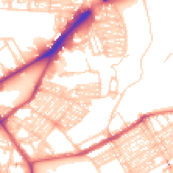
Daytime· 07:00 – 23:00
54.8dB

Night-time· 23:00 – 07:00
43.6dB