4 Grassholm Place, Newcastle Upon Tyne, NE12 8PP
About 4 Grassholm Place
4 Grassholm Place is a semi-detached house in Newcastle Upon Tyne (NE12 8PP). It has a recorded floor area of 76 m² (around 818 sq ft), construction records dating it to 1950-1966 and council tax band A. The latest certificate (September 2021) shows a D (score 63), on the cusp of jumping into the C band. The recommended improvements would push it to C (score 80).
Everything you need to know about 4 Grassholm Place
The true value, the hidden risks and the full sale history, in one report.
30-day money-back guarantee

The data behind every report


Energy performance
EPC Rating
Planning history
4 Grassholm Place has no planning applications on record.
Notable planning nearby
5applications of note in the surrounding area
We flagged 1 thing worth checking at 4 Grassholm Place
Independent checks surfaced things a buyer would want to understand before offering. The report explains each one in full, with the underlying data and what to ask.
- Larger development activity nearby
30-day money-back guarantee
Sales history & valuation
4 Grassholm Place has no Land Registry sales on file, suggesting it has stayed in the same hands since registration began.
£176,000
Modelled from EPC, postcode comparables.
No sales recorded with HM Land Registry
That can mean the property has never traded since the registry began publishing in 1995, was a new build that hasn't been registered yet, or is held in the same hands long-term.
Median price across the last 5 sales in NE12 8PP: £150,000 (2025–2017).
Nearby sales in NE12 8PP
1 Grassholm Place, Newcastle Upon Tyne, NE12 8PP
Sold Sept 2025
£202,5005 Grassholm Place, Newcastle Upon Tyne, NE12 8PP
Sold Jul 2024
£185,00010 Grassholm Place, Newcastle Upon Tyne, NE12 8PP
Sold Feb 2020
£150,00015 Grassholm Place, Newcastle Upon Tyne, NE12 8PP
Sold Oct 2018
£150,0003 Grassholm Place, Newcastle Upon Tyne, NE12 8PP
Sold Nov 2017
£141,000
Versus other Grassholm Place homes
On floor area, 4 Grassholm Place runs well behind the street norm.
EPC Rating
63 (D)
Street avg 67 (D)
Floor Area
76 m²
Street avg 88 m²
CO₂ Emissions
3.8 t/year
Street avg 3.8 t/year
Habitable Rooms
4 rooms
Street avg 5 rooms
Everything you need to know about 4 Grassholm Place
The true value, the hidden risks and the full sale history, in one report.
30-day money-back guarantee
The data behind every report
Similar properties nearby
The neighbourhood at a glance
Rail-style transport is unusually close for this postcode.
Crime
4/mo
Steady year-on-year across the wider district.
Nearest stop
0.1 km
Longbenton Stoneleigh Avenue — bus stop.
Closest school
0.8 km
Balliol Primary School. 31 schools nearby.
Go deeper on the local area
The full report breaks down crime, transport links, schools and air quality in depth.
Road noise across the postcode
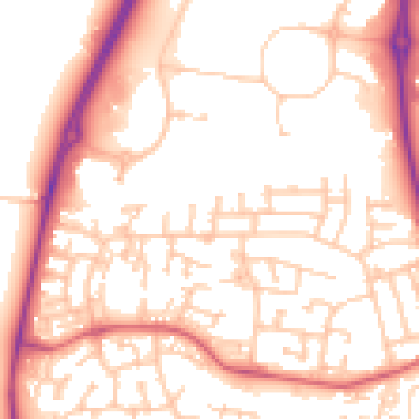
Daytime· 07:00 – 23:00
54.3dB

Night-time· 23:00 – 07:00
44.1dB