16 Burn Avenue, Newcastle Upon Tyne, NE12 7JY
About 16 Burn Avenue
16 Burn Avenue is a three-bedroom mid-terrace house in Newcastle Upon Tyne (NE12 7JY). It has a recorded floor area of 96 m² (around 1033 sq ft), construction records dating it to 1900-1929 and council tax band B. The latest certificate (October 2016) shows a D (score 65), on the cusp of jumping into the C band. The recommended improvements would lift it to B (score 86), a 2-band jump. Period features are noted in the property record.
Sold September 2021 for £158,000. Across the public record there are 6 sales, relatively high churn for a single property. That sale was during the post-pandemic price surge, when transactions cleared materially above pre-2020 trend. Across 1998–2021, sale prices on this property compounded at 8.3% per year. Today's modelled estimate of £213,000 is 34.8% above the 2021 sale price. On a £-per-square-foot basis, the last sale (£153/sq ft) was about 39.1% above the typical sold price in the postcode.
What this property has
Inside
- Bedrooms3
Outside
- Private gardenFront and rear
Building
- Period featuresYes
- RefurbishedYes
Everything you need to know about 16 Burn Avenue
The true value, the hidden risks and the full sale history, in one report.
Pick your report · every report is £14.99
One time fee only - money back guarantee

The data behind every report


Energy performance
Recommended upgrades on file would lift this property by multiple EPC bands.
EPC Rating
Get a survey for this property
Level 3 Building Survey
Because the property was built before 1919 and has solid (non-cavity) walls, we believe a Level 3 building survey should be considered.
From £885 · Includes VAT
Planning history
16 Burn Avenue has no planning applications on record.
But the area is active
3 notable applications nearby — larger schemes and conversions that could reshape the street. The report maps them all.
Sales history & valuation
Price for 16 Burn Avenue has grown more than fourfold since the 1998 starting point.
£213,000
Modelled from EPC, postcode comparables and a sale-price growth of 8.3% per year over 23 years.
£158,000
Growth on file: 8.3% per year over 23 years.
Sales timeline
9 September 2021Most recent
£158,000
+10.9%over 4 years8 February 2017
£142,500
+7.1%over 10 years10 August 2006
£133,000
+33.1%over 3 years30 July 2003
£99,950
+124.6%over 4 years14 June 1999
£44,500
+78.0%over 1 year8 June 1998
£25,000
Median price across the last 5 sales in NE12 7JY: £148,000 (2024–2020).
Nearby sales in NE12 7JY
20 Burn Avenue, Newcastle Upon Tyne, NE12 7JY
Sold Nov 2024
£207,00032 Burn Avenue, Newcastle Upon Tyne, NE12 7JY
Sold Jul 2021
£158,00038 Burn Avenue, Newcastle Upon Tyne, NE12 7JY
Sold Oct 2020
£147,0008 Burn Avenue, Newcastle Upon Tyne, NE12 7JY
Sold Jun 2020
£148,00026 Burn Avenue, Newcastle Upon Tyne, NE12 7JY
Sold Aug 2019
£125,000
Versus other Burn Avenue homes
Years Held for 16 Burn Avenue lags the street by a wide margin.
Price per m²
£1,646
Street avg £1,335
Floor Area
96 m²
Street avg 91 m²
Habitable Rooms
5 rooms
Street avg 4 rooms
CO₂ Emissions
4.4 t/year
Street avg 4.6 t/year
Everything you need to know about 16 Burn Avenue
The true value, the hidden risks and the full sale history, in one report.
Pick your report · every report is £14.99
One time fee only - money back guarantee
The data behind every report
Similar properties nearby
1 Cotswold Avenue
NE12 7NT
1 Fairfield Avenue
NE12 7LD
1 Avondale Avenue
NE12 7HT
1 Burn Avenue
NE12 7JY
1 Allandale Avenue
NE12 7JD
1 Glebe Crescent
NE12 7JR
1 Firtree Avenue, Forest Hall
NE12 7JT
1 Dene Avenue, West Moor
NE12 7EX
The neighbourhood at a glance
Crime
4/mo
Steady year-on-year across the wider district.
Nearest stop
0.1 km
Briar Edge — bus stop.
Closest school
0.3 km
Forest Hall Primary School. 22 schools nearby.
Go deeper on the local area
A Local Area report breaks down crime, transport links, schools and air quality in depth.
Road noise across the postcode
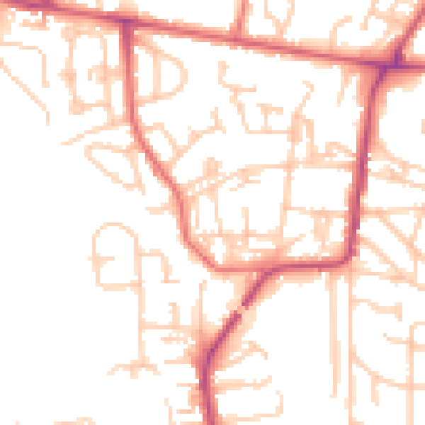
Daytime· 07:00 – 23:00
50.9dB
Night-time· 23:00 – 07:00
40.6dB