19 Hurst Avenue, Haringey, London, N6 5TX
About 19 Hurst Avenue
19 Hurst Avenue is a five-bedroom detached house in Haringey, London, London (N6 5TX). It has a recorded floor area of 463 m² (around 4984 sq ft), construction records dating it to 1900-1929 and council tax band H. The latest certificate (September 2020) shows a C (score 77), near the top of the C band. When first surveyed in June 2016 the rating was D, the property has climbed 1 band since. Between certificates, wall efficiency went from Poor to Very Good, roof efficiency went from Good to Very Good and window efficiency went from Good to Very Good. Other recorded features include notable views. Our model identifies extension potential, subject to local planning policy.
7 planning records sit against the property, 6 approved, 1 refused. Past consents include an extension and a basement excavation, meaningful when judging how the property has evolved. At 463 m² it's 22.2% larger than the typical home in the postcode (379 m² median across 11 EPCs). Today's modelled estimate of £4,994,000 is 37.8% above the 2016 sale price. On a £-per-square-foot basis, the last sale (£727/sq ft) was about 26.8% below the postcode norm. On the market in November 2016 and unlisted since — roughly 10 years.
What this property has
Inside
- Bedrooms5
- Bathrooms2
Outside
- Private gardenYes
- DrivewayYes
- Notable viewsYes
Building
- Extension potentialPossible
Everything you need to know about 19 Hurst Avenue
The true value, the hidden risks and the full sale history, in one report.
30-day money-back guarantee

The data behind every report


Energy performance
19 Hurst Avenue's carbon output runs well above what efficient homes in the postcode produce.
EPC Rating
Property Improvements
Changes detected from historical EPC data
Heating controls upgraded for better temperature management
High performance glazing installed
Cavity wall insulation installed
Roof insulation improved
Floor insulation added or improved
More low energy lighting installed
Planning history
19 Hurst Avenue has been through 6 approved planning applications — a well-evolved property.
- Dec 2019ConditionsIn report
Approval of details pursuant to condition 7 (details of all enclosures around the site boundary) attached to planning permission HGY/2018/2703
- Documents
- 5 docs on file
- Reference
- HGY/2019/2732
- May 2019ConditionsIn report
Approval of details pursuant to condition 3 (materials) attached to planning permissions HGY/2018/2703
- Documents
- 6 docs on file
- Reference
- HGY/2019/1434
We flagged 1 thing worth checking at 19 Hurst Avenue
Independent checks surfaced things a buyer would want to understand before offering. The report explains each one in full, with the underlying data and what to ask.
- Larger development activity nearby
30-day money-back guarantee
Sales history & valuation
19 Hurst Avenue valuation sits well clear of the typical sold price in this postcode.
£4,994,000
Modelled from EPC, postcode comparables.
£3,625,000
Recorded with HM Land Registry.
Sales timeline
25 November 2016Most recent
£3,625,000
Median price across the last 5 sales in N6 5TX: £4,025,000 (2024–2017).
Nearby sales in N6 5TX
25a, Hurst Avenue, Haringey, London, N6 5TX
Sold May 2024
£4,025,0005 Hurst Avenue, Haringey, London, N6 5TX
Sold Apr 2022
£4,000,0001a, Hurst Avenue, Haringey, London, N6 5TX
Sold Mar 2022
£5,750,00015 Hurst Avenue, Haringey, London, N6 5TX
Sold Aug 2021
£3,600,00033 Hurst Avenue, Haringey, London, N6 5TX
Sold Apr 2016
£1,950,000
Versus other Hurst Avenue homes
Floor Area for 19 Hurst Avenue runs comfortably ahead of the street norm.
Price per m²
£7,829
Street avg £11,107
Floor Area
463 m²
Street avg 336 m²
CO₂ Emissions
10.0 t/year
Street avg 10.7 t/year
Years Held
10 years
Street avg 11 years
Everything you need to know about 19 Hurst Avenue
The true value, the hidden risks and the full sale history, in one report.
30-day money-back guarantee
The data behind every report
Similar properties nearby
1 Hurst Avenue, Haringey
N6 5TX
1 Milton Park, Haringey
N6 5QB
1 Hornsey Lane Gardens, Haringey
N6 5NX
1 Cholmeley Park, Haringey
N6 5ET
1 Cholmeley Crescent, Haringey
N6 5EZ
1 Dukes Head Yard, Haringey
N6 5JQ
1 Hill Gate Walk, Haringey
N6 5RU
1 Claremont Road, Haringey
N6 5DA
The neighbourhood at a glance
Rail-style transport is unusually close for this postcode.
Crime
7/mo
Rising year-on-year across the wider district.
Nearest stop
0.2 km
Shepherd's Hill — bus stop.
Closest school
0.4 km
Highgate Wood Secondary School. 63 schools nearby.
Go deeper on the local area
The full report breaks down crime, transport links, schools and air quality in depth.
Road noise across the postcode
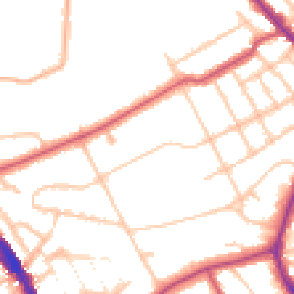
Daytime· 07:00 – 23:00
49.2dB

Night-time· 23:00 – 07:00
40.5dB