Flat 1, 19 Jacksons Lane, London, N6 5SR
About Flat 1
Flat 1 is a property in London (N6 5SR). It has council tax band F.
Held since April 2008 — that's 18 years off the open market, well above the local norm. That sale landed at the peak of the pre-credit-crunch market, which is a useful reference point when interpreting the price.
Everything you need to know about Flat 1
The true value, the hidden risks and the full sale history, in one report.
30-day money-back guarantee

The data behind every report


Energy performance
No EPC on record
This property doesn't have an Energy Performance Certificate yet. An EPC is required to sell or let — and unlocks our automated valuation.
Planning history
Flat 1 has no planning applications on record.
Notable planning nearby
2applications of note in the surrounding area
We flagged 1 thing worth checking at Flat 1
Independent checks surfaced things a buyer would want to understand before offering. The report explains each one in full, with the underlying data and what to ask.
- Larger development activity nearby
30-day money-back guarantee
Sales history & valuation
The latest sale landed at the peak of the pre-credit-crunch market — a high-water reference point.
£375,000
Recorded with HM Land Registry.
Sales timeline
13 April 2008Most recent
£375,000
Median price across the last 5 sales in N6 5SR: £725,000 (2025–2024).
Nearby sales in N6 5SR
Flat 2, 1 Jacksons Lane, London, N6 5SR
Sold Mar 2025
£725,000Flat 3, 3 Jacksons Lane, London, N6 5SR
Sold Dec 2024
£725,00037 Jacksons Lane, Haringey, London, N6 5SR
Sold Jul 2024
£1,485,000Flat 5, 25 Jacksons Lane, London, N6 5SR
Sold May 2024
£408,00011a, Flat 1, Jacksons Lane, London, N6 5SR
Sold Jan 2024
£1,225,000
Everything you need to know about Flat 1
The true value, the hidden risks and the full sale history, in one report.
30-day money-back guarantee
The data behind every report
Similar properties nearby
11a, Flat 3, Jacksons Lane
N6 5SR
11a, Flat 2, Jacksons Lane
N6 5SR
16 18, Flat 8, Hornsey Lane, Islington
N6 5LX
10a, Flat 1, Hornsey Lane
N6 5LZ
10a, Flat 3, Hornsey Lane
N6 5LZ
186a, Flat A, Archway Road
N6 5BB
10a, Flat 2, Hornsey Lane
N6 5LZ
16 18, Flat 6, Hornsey Lane, Islington
N6 5LX
The neighbourhood at a glance
Rail-style transport is unusually close for this postcode.
Crime
7/mo
Rising year-on-year across the wider district.
Nearest stop
0.1 km
Highgate — bus stop.
Closest school
0.4 km
St Michael's CofE Voluntary Aided Primary School. 55 schools nearby.
Go deeper on the local area
The full report breaks down crime, transport links, schools and air quality in depth.
Road noise across the postcode
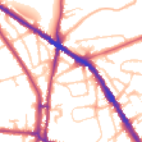
Daytime· 07:00 – 23:00
53.3dB
Night-time· 23:00 – 07:00
44.8dB