Upper Flat, 26 Framfield Road, London, N5 1UU
About Upper Flat
Upper Flat is a property in London (N5 1UU). It has a recorded floor area of 81 m² (around 873 sq ft) and construction records dating it to 1900-1929. The latest certificate (August 2011) shows a D (score 67), on the cusp of jumping into the C band. The latest certificate is from August 2011, so improvements made since then won't be reflected.
It changed hands recently, sold March 2025 for £606,855. 3 planning records sit against the property, 2 approved, 1 refused. Past consents include a loft conversion and an extension, meaningful when judging how the property has evolved. At 81 m² it's 27.3% smaller than the typical home in the postcode (112 m² median across 29 EPCs). Across 1999–2025, sale prices on this property compounded at 5.6% per year. Today's modelled estimate of £670,000 is 10.4% above the 2025 sale price.
Know exactly what you're buying at Upper Flat
Before you offer, see what the listing won't tell you, the true value, the red flags and the full history.
Already flagged here
Valuation
against the asking price
Risks
planning & flood
Sold prices
similar homes nearby
Trends
the local market
Energy performance
Upper Flat's EPC is over a decade old — improvements since won't be reflected.
EPC Expired
This certificate is over 10 years old and is no longer valid.Expired 04 Aug 2021
EPC Rating
Planning history
A a single-storey rear extension application was refused at Upper Flat in 2022.
- Nov 2022ExtensionFullIn report
Extension: Single storey · Rear of property
Proposed 4.8 metre second floor rear extension.
- Documents
- 6 docs on file
- Reference
- P2022/0844/FUL
- Nov 2022Loft ConversionFullIn report
Proposed loft conversion to top floor flat, including sliding doors, upvc window and conservation style windows.
- Documents
- 7 docs on file
- Reference
- P2022/0843/FUL
We flagged 1 thing worth checking at Upper Flat
Independent checks surfaced things a buyer would want to understand before offering. The report explains each one in full, with the underlying data and what to ask.
- A planning decision worth checking
30-day money-back guarantee
Sales history & valuation
Upper Flat has more than quadrupled in price since its earliest registered sale in 1999.
£670,000
Modelled from EPC, postcode comparables and a sale-price growth of 5.6% per year over 26 years.
£606,855
Growth on file: 5.6% per year over 26 years.
Sales timeline
21 March 2025Most recent
£606,855
+15.6%over 4 years22 July 2020
£525,000
+99.6%over 14 years9 December 2005
£263,000
+77.2%over 6 years28 June 1999
£148,450
Median price across the last 5 sales in N5 1UU: £1,900,000 (2025–2023).
Nearby sales in N5 1UU
7 Framfield Road, Islington, London, N5 1UU
Sold Jul 2025
£2,505,00025 Framfield Road, Islington, London, N5 1UU
Sold Jun 2025
£595,00012 Framfield Road, Islington, London, N5 1UU
Sold May 2025
£2,042,50026 Framfield Road, Islington, London, N5 1UU
Sold Feb 2025
£876,00030 Framfield Road, Islington, London, N5 1UU
Sold Dec 2023
£1,900,000
Everything we know about Upper Flat, in one report
What it's really worth, what could be wrong, and the planning, sales and area data in full.
What we flagged
- A planning decision worth checking

Versus other Framfield Road homes
EPC Rating for Upper Flat runs comfortably ahead of the street norm.
Price per m²
£7,479
Street avg £12,888
Floor Area
81 m²
Street avg 63 m²
Habitable Rooms
4 rooms
Street avg 3 rooms
CO₂ Emissions
3.3 t/year
Street avg 3.1 t/year
Similar properties nearby
104 Eaststand Apartments, Highbury Stadium Square, Islington
N5 1FF
10 Eaststand Apartments, Highbury Stadium Square, Islington
N5 1FE
104 Weststand Apartments, Highbury Stadium Square, Islington
N5 1FH
102 Eaststand Apartments, Highbury Stadium Square, Islington
N5 1FF
102 Northstand Apartments, Highbury Stadium Square, Islington
N5 1FL
103 Weststand Apartments, Highbury Stadium Square, Islington
N5 1FH
10 Northstand Apartments, Highbury Stadium Square, Islington
N5 1FJ
100 Weststand Apartments, Highbury Stadium Square, Islington
N5 1FH
The neighbourhood at a glance
Rail-style transport is unusually close for this postcode.
Crime
8/mo
Rising year-on-year across the wider district.
Nearest stop
0.2 km
Drayton Park — railway station.
Closest school
0.1 km
Highbury Fields School. 95 schools nearby.
Go deeper on the local area
The full report breaks down crime, transport links, schools and air quality in depth.
Road noise across the postcode
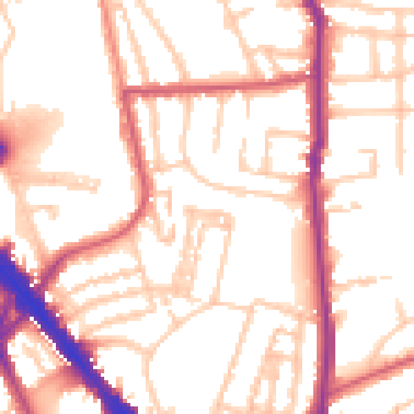
Daytime· 07:00 – 23:00
53.0dB

Night-time· 23:00 – 07:00
43.2dB