17 Framfield Road, Islington, London, N5 1UU
About 17 Framfield Road
17 Framfield Road is a four-bedroom mid-terrace house in Islington, London, London (N5 1UU). It has a recorded floor area of 143 m² (around 1539 sq ft), construction records dating it to 1900-1929 and council tax band G. The latest certificate (July 2012) shows a D (score 56), a step below the typical UK home. The recommended improvements would lift it to B (score 85), a 2-band jump. The latest certificate is from July 2012, so improvements made since then won't be reflected.
Held since November 2003 — that's 23 years off the open market, well above the local norm. At 143 m² the property is well over the postcode median (109 m² across 29 EPCs), placing it in the larger end of the local stock. Across 1996–2003, sale prices on this property compounded at 20.3% per year. Today's modelled estimate of £1,812,000 sits 185.4% above the 2003 sale of £635,000. On a £-per-square-foot basis, the last sale (£413/sq ft) was about 45.6% below the postcode norm. 2 planning records sit against the property, 2 approved, 0 refused. Past consents include an extension, meaningful when judging how the property has evolved.
Know exactly what you're buying at 17 Framfield Road
Before you offer, see what the listing won't tell you, the true value, the red flags and the full history.
Valuation
against the asking price
Risks
planning & flood
Sold prices
similar homes nearby
Trends
the local market
What this property has
Inside
- Bedrooms4
- Bathrooms2
- EnsuiteYes
Outside
- Private gardenYes
Energy performance
17 Framfield Road's carbon output runs well above what efficient homes in the postcode produce.
EPC Expired
This certificate is over 10 years old and is no longer valid.Expired 29 Jul 2022
EPC Rating
Planning history
17 Framfield Road has an approved rear extension on the planning record.
- Nov 2019ExtensionOutlineIn report
Extension: Rear of property
Notification for Prior Approval (Householder) for the erection of a rear ground floor infill extension.
- Documents
- 7 docs on file
- Reference
- P2019/2976/PRA
- Oct 2019OutlineIn report
Certificate of lawfulness (proposed) for a rear roof dormer extension, and rooflights and side facing window.
- Documents
- 12 docs on file
- Reference
- P2019/2641/COLP
What's in 17 Framfield Road, Islington, London, N5 1UU's planning history?
Refusals, disputes and full decisions on this property and nearby, in the report.
Sales history & valuation
Sale price has grown by over 3x since 1996.
£1,812,000
Modelled from EPC, postcode comparables and a sale-price growth of 20.3% per year over 7 years.
£635,000
Growth on file: 20.3% per year over 7 years.
Sales timeline
7 November 2003Most recent
£635,000
+74.0%over 6 years4 September 1997
£365,000
+108.6%over 9 months21 November 1996
£175,000
Median price across the last 5 sales in N5 1UU: £876,000 (2025–2025).
Nearby sales in N5 1UU
7 Framfield Road, Islington, London, N5 1UU
Sold Jul 2025
£2,505,00025 Framfield Road, Islington, London, N5 1UU
Sold Jun 2025
£595,00012 Framfield Road, Islington, London, N5 1UU
Sold May 2025
£2,042,500Upper Flat, 26 Framfield Road, London, N5 1UU
Sold Mar 2025
£606,85526 Framfield Road, Islington, London, N5 1UU
Sold Feb 2025
£876,000
Everything we know about 17 Framfield Road, in one report
What it's really worth, what could be wrong, and the planning, sales and area data in full.
- Am I paying too much?
- Is something wrong with it?
- Is the agent's story true?
- Will it hold its value?

Versus other Framfield Road homes
On price per m², 17 Framfield Road runs well behind the street norm.
Price per m²
£4,441
Street avg £10,743
Floor Area
143 m²
Street avg 143 m²
Habitable Rooms
6 rooms
Street avg 6 rooms
CO₂ Emissions
6.7 t/year
Street avg 6.0 t/year
Similar properties nearby
1 Legard Road, Islington
N5 1DE
1 De Barowe Mews, Leigh Road, Islington
N5 1SB
1 Elphinstone Street, Islington
N5 1BS
1 Aubert Road, Islington
N5 1TX
1 Framfield Road, Islington
N5 1UU
1 Lucerne Road, Islington
N5 1TZ
1 Century Mews, Islington
N5 1HY
1 Gillespie Road, Islington
N5 1LH
The neighbourhood at a glance
Rail-style transport is unusually close for this postcode.
Crime
8/mo
Rising year-on-year across the wider district.
Nearest stop
0.2 km
Drayton Park — railway station.
Closest school
0.1 km
Highbury Fields School. 95 schools nearby.
Go deeper on the local area
The full report breaks down crime, transport links, schools and air quality in depth.
Road noise across the postcode
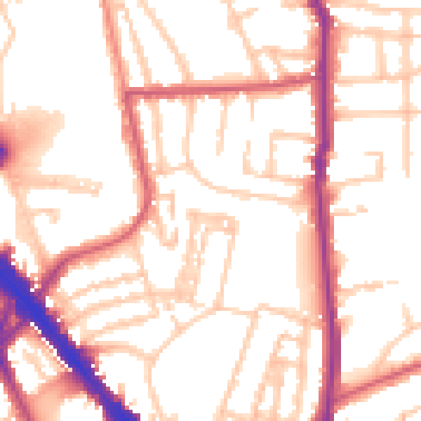
Daytime· 07:00 – 23:00
53.0dB

Night-time· 23:00 – 07:00
43.2dB