5 Plimsoll Road, Islington, London, N4 2EW
About 5 Plimsoll Road
5 Plimsoll Road is a three-bedroom mid-terrace house in Islington, London, London (N4 2EW). It has a recorded floor area of 117 m² (around 1259 sq ft), construction records dating it to before 1900 and council tax band E. The latest certificate (June 2017) shows a D (score 55), a step below the typical UK home. The recommended improvements would push it to C (score 75).
One planning record on file: an extension approved in 2007. Past consents include an extension, meaningful when judging how the property has evolved. Across 2017–2024, sale prices on this property compounded at 4% per year. Today's modelled estimate of £1,459,000 is 13.5% above the 2024 sale price. On a £-per-square-foot basis, the last sale (£1,020/sq ft) was about 151.6% above the typical sold price in the postcode. Sold June 2024 for £1,285,000.
Know exactly what you're buying at 5 Plimsoll Road
Before you offer, see what the listing won't tell you, the true value, the red flags and the full history.
Already flagged here
Valuation
against the asking price
Risks
planning & flood
Sold prices
similar homes nearby
Trends
the local market
What this property has
Inside
- Bedrooms3
- Bathrooms2
Energy performance
EPC Rating
Planning history
5 Plimsoll Road has an approved single-storey rear extension on the planning record.
- Mar 2007ExtensionFullIn report
Extension: Single storey · Rear of property
Erection of first floor rear infill extension
- Documents
- 13 docs on file
- Reference
- P062775
We flagged 1 thing worth checking at 5 Plimsoll Road
Independent checks surfaced things a buyer would want to understand before offering. The report explains each one in full, with the underlying data and what to ask.
- Larger development activity nearby
30-day money-back guarantee
Sales history & valuation
5 Plimsoll Road valuation sits well clear of the typical sold price in this postcode.
£1,459,000
Modelled from EPC, postcode comparables and a sale-price growth of 4.0% per year over 7 years.
£1,285,000
Growth on file: 4.0% per year over 7 years.
Sales timeline
27 June 2024Most recent
£1,285,000
+29.2%over 6 years1 December 2017
£994,800
Median price across the last 5 sales in N4 2EW: £1,280,000 (2024–2015).
Nearby sales in N4 2EW
9 Plimsoll Road, Islington, London, N4 2EW
Sold Jul 2024
£1,800,0004 Plimsoll Road, Islington, London, N4 2EW
Sold Jun 2021
£1,495,0002 Plimsoll Road, Islington, London, N4 2EW
Sold Aug 2019
£1,280,0003 Plimsoll Road, Islington, London, N4 2EW
Sold Feb 2016
£1,250,0007 Plimsoll Road, Islington, London, N4 2EW
Sold Jan 2015
£1,000,000
Everything we know about 5 Plimsoll Road, in one report
What it's really worth, what could be wrong, and the planning, sales and area data in full.
What we flagged
- Larger development activity nearby

Versus other Plimsoll Road homes
5 Plimsoll Road outperforms the street on price per m² by a wide margin.
Price per m²
£10,983
Street avg £7,040
Floor Area
117 m²
Street avg 144 m²
Habitable Rooms
7 rooms
Street avg 6 rooms
CO₂ Emissions
5.8 t/year
Street avg 6.4 t/year
Similar properties nearby
1 Darter House, Anax Street, Islington
N4 2UE
1 Laura Terrace, Brownswood Road, Hackney
N4 2SS
1 Heron Drive, Hackney
N4 2FR
1 Colthurst Crescent, Hackney
N4 2DT
1 Monsell Road, Islington
N4 2EF
1 Digby Crescent, Hackney
N4 2HS
1 Henry Road, Hackney
N4 2LH
1 Finsbury Park Road, Hackney
N4 2LA
The neighbourhood at a glance
Rail-style transport is unusually close for this postcode.
Crime
15/mo
Rising year-on-year across the wider district.
Nearest stop
0.2 km
Rock Street — bus stop.
Closest school
0.2 km
Ambler Primary School and Children's Centre. 97 schools nearby.
Go deeper on the local area
The full report breaks down crime, transport links, schools and air quality in depth.
Road noise across the postcode
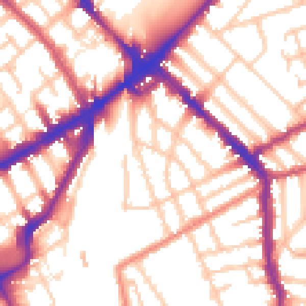
Daytime· 07:00 – 23:00
55.1dB

Night-time· 23:00 – 07:00
45.9dB