Adelphi Court, Flat 1, 11 Ashfield Road, Haringey, London, N4 1PU
About Adelphi Court
Adelphi Court is a one-bedroom detached house in Haringey, London, London (N4 1PU). It has a recorded floor area of 56 m² (around 603 sq ft) and construction records dating it to 2003-2006. At 56 m² this is the smallest unit on EPC record across Adelphi Court (56–128 m²). The latest certificate (September 2022) shows a C (score 76), near the top of the C band. The rating has held steady at C across 2 certificates since September 2012. Between certificates, lighting went from Very Poor to Good; while window efficiency dropped from Good to Average.
Untraded for 20 years, with the last transfer in July 2006. Today's modelled estimate of £414,000 sits 88.2% above the 2006 sale of £220,000. At 56 m² it sits well below the postcode median (91 m² across 6 EPCs), making it one of the more compact homes locally.
Know exactly what you're buying at Adelphi Court
Before you offer, see what the listing won't tell you, the true value, the red flags and the full history.
Already flagged here
Valuation
against the asking price
Risks
planning & flood
Sold prices
similar homes nearby
Trends
the local market
What this property has
Inside
- Bedrooms1
- Bathrooms1
- Dining roomYes
- CloakroomYes
- EnsuiteYes
Outside
- ParkingOff street
Building
- RefurbishedYes
Energy performance
Adelphi Court's carbon output is low for the local stock.
EPC Rating
Property Improvements
Changes detected from historical EPC data
More low energy lighting installed
Planning history
Adelphi Court has no planning applications on record.
Notable planning nearby
31applications of note in the surrounding area
We flagged 2 things worth checking at Adelphi Court
Independent checks surfaced things a buyer would want to understand before offering. The report explains each one in full, with the underlying data and what to ask.
- Signs of HMO activity in the area
- Larger development activity nearby
30-day money-back guarantee
Sales history & valuation
Latest sale on Adelphi Court was the lowest on Land Registry record across the postcode.
£414,000
Modelled from EPC, postcode comparables.
£220,000
Recorded with HM Land Registry.
Sales timeline
19 July 2006Most recent
£220,000
Median price across the last 5 sales in N4 1PU: £400,000 (2022–2006).
Nearby sales in N4 1PU
Adelphi Court, Flat 2, 11 Ashfield Road, Haringey, London, N4 1PU
Sold Jul 2022
£478,0001 Ashfield Road, Haringey, London, N4 1PU
Sold May 2011
£300,000Adelphi Court, Flat 5, 11 Ashfield Road, Haringey, London, N4 1PU
Sold Feb 2007
£390,000Adelphi Court, Flat 6, 11 Ashfield Road, Haringey, London, N4 1PU
Sold Nov 2006
£400,000Adelphi Court, Flat 4, 11 Ashfield Road, Haringey, London, N4 1PU
Sold Nov 2006
£420,000
Everything we know about Adelphi Court, in one report
What it's really worth, what could be wrong, and the planning, sales and area data in full.
What we flagged
- Signs of HMO activity in the area
- Larger development activity nearby

Similar properties nearby
2a, Flat 1, Kimberley Gardens
N4 1LF
232 234, First Floor Flat, Hermitage Road
N4 1NN
16a, Flat 1, Grand Parade, Green Lanes, Haringey
N4 1LA
22a, Flat 3, Endymion Road
N4 1EE
12a, Basement Flat, Endymion Road
N4 1EE
2a, Flat 2, Kimberley Gardens
N4 1LF
22a, Flat 4, Endymion Road
N4 1EE
12a, Ground Floor Flat, Endymion Road
N4 1EE
The neighbourhood at a glance
Rail-style transport is unusually close for this postcode.
Crime
15/mo
Rising year-on-year across the wider district.
Nearest stop
0.4 km
Vartry Road — bus stop.
Closest school
0.4 km
Woodberry Down Community Primary School. 86 schools nearby.
Go deeper on the local area
The full report breaks down crime, transport links, schools and air quality in depth.
Road noise across the postcode
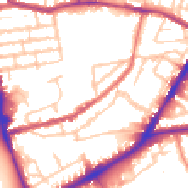
Daytime· 07:00 – 23:00
54.4dB

Night-time· 23:00 – 07:00
45.5dB