81 Marlborough Road, Enfield, London, N22 8NL
About 81 Marlborough Road
81 Marlborough Road is a four-bedroom mid-terrace house in Enfield, London, London (N22 8NL). It has a recorded floor area of 200 m² (around 2153 sq ft), construction records dating it to 1900-1929 and council tax band E. The latest certificate (April 2023) shows a D (score 66), on the cusp of jumping into the C band. The recommended improvements would push it to C (score 76). Period features are noted in the property record.
At 200 m² the property is well over the postcode median (63 m² across 39 EPCs), placing it in the larger end of the local stock. 4 bedrooms is on the larger side for this postcode, where 2 is the typical count. One planning record on file: an extension approved in 2018. Past consents include an extension, meaningful when judging how the property has evolved. Across 2000–2023, sale prices on this property compounded at 7.4% per year. On a £-per-square-foot basis, the last sale (£511/sq ft) was about 105.9% above the typical sold price in the postcode. Last sale on file: £1,100,018 in September 2023.
Know exactly what you're buying at 81 Marlborough Road
Before you offer, see what the listing won't tell you, the true value, the red flags and the full history.
Already flagged here
Valuation
against the asking price
Risks
planning & flood
Sold prices
similar homes nearby
Trends
the local market
What this property has
Inside
- Bedrooms4
- Bathrooms2
- Open-plan layoutYes
- Dining roomYes
- CloakroomYes
- StudyYes
Outside
- Private gardenWest-facing
Building
- Period featuresYes
- RefurbishedYes
Energy performance
EPC Rating
Planning history
81 Marlborough Road has an approved single-storey rear extension on the planning record.
- May 2018ExtensionFullIn report
Extension: Single storey · Rear of property
Erection of a single storey rear extension to match new ground floor infill extension at No. 79 Marlborough Road ref. HGY/2018/1193 and installation of front rooflight
- Documents
- 8 docs on file
- Reference
- HGY/2018/1192
We flagged 2 things worth checking at 81 Marlborough Road
Independent checks surfaced things a buyer would want to understand before offering. The report explains each one in full, with the underlying data and what to ask.
- Signs of HMO activity in the area
- Larger development activity nearby
30-day money-back guarantee
Sales history & valuation
Latest sale on 81 Marlborough Road was the highest on Land Registry record across the postcode.
£1,104,000
Modelled from EPC, postcode comparables and a sale-price growth of 7.4% per year over 24 years.
£1,100,018
Growth on file: 7.4% per year over 24 years.
Sales timeline
28 September 2023Most recent
£1,100,018
+441.9%over 23 years6 March 2000
£203,000
Median price across the last 5 sales in N22 8NL: £400,000 (2022–2021).
Nearby sales in N22 8NL
109 Marlborough Road, Enfield, London, N22 8NL
Sold Nov 2022
£400,00083 Marlborough Road, Enfield, London, N22 8NL
Sold Nov 2021
£420,000125 Marlborough Road, Enfield, London, N22 8NL
Sold Oct 2021
£325,000Flat A, 85 Marlborough Road, London, N22 8NL
Sold Jun 2021
£420,00097 Marlborough Road, Enfield, London, N22 8NL
Sold Feb 2018
£726,500
Everything we know about 81 Marlborough Road, in one report
What it's really worth, what could be wrong, and the planning, sales and area data in full.
What we flagged
- Signs of HMO activity in the area
- Larger development activity nearby

Versus other Marlborough Road homes
81 Marlborough Road is notably below the street on years held.
Price per m²
£5,500
Street avg £4,814
Floor Area
200 m²
Street avg 86 m²
Habitable Rooms
6 rooms
Street avg 4 rooms
CO₂ Emissions
5.9 t/year
Street avg 3.5 t/year
Similar properties nearby
1 Northbrook Road, Haringey
N22 8YQ
1 Hampshire Road, Haringey
N22 8LR
1 Justin Place, Haringey
N22 8ET
1 Lascotts Road, Haringey
N22 8JG
1 Firemens Flats, Bounds Green Road, Haringey
N22 8DG
1 Annadale, Palmerston Road
N22 8RJ
1 Clarence Road, Haringey
N22 8PG
1 Dogan Terrace, Trinity Road, Haringey
N22 8LB
The neighbourhood at a glance
Rail-style transport is unusually close for this postcode.
Crime
10/mo
Rising year-on-year across the wider district.
Nearest stop
0.3 km
Bowes Park Rail Station — railway station.
Closest school
0.6 km
Bounds Green Junior School. 62 schools nearby.
Go deeper on the local area
The full report breaks down crime, transport links, schools and air quality in depth.
Road noise across the postcode
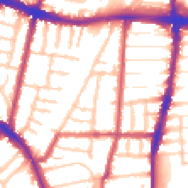
Daytime· 07:00 – 23:00
55.1dB

Night-time· 23:00 – 07:00
45.4dB