15 Corbett Grove, Haringey, London, N22 8DQ
About 15 Corbett Grove
15 Corbett Grove is a property in Haringey, London, London (N22 8DQ). It has council tax band D.
Energy performance
No EPC on record
This property doesn't have an Energy Performance Certificate yet. An EPC is required to sell or let — and unlocks our automated valuation.
Planning history
No planning applications are recorded against 15 Corbett Grove, Haringey, London, N22 8DQ. The full report also covers planning activity across the surrounding area.
Sales history & valuation
No sales recorded with HM Land Registry
That can mean the property has never traded since the registry began publishing in 1995, was a new build that hasn't been registered yet, or is held in the same hands long-term.
Median price across the last 5 sales in N22 8DQ: £362,000 (2025–2006).
Nearby sales in N22 8DQ
20 Corbett Grove, Haringey, London, N22 8DQ
Sold Mar 2025
£362,00035 Corbett Grove, Haringey, London, N22 8DQ
Sold Nov 2024
£790,00036 Corbett Grove, Haringey, London, N22 8DQ
Sold Nov 2024
£790,0002 Corbett Grove, Haringey, London, N22 8DQ
Sold Feb 2024
£327,0006 Corbett Grove, Haringey, London, N22 8DQ
Sold Jul 2006
£185,000
Similar properties nearby
1 6 Annadale, Palmerston Road, Enfield
N22 8RJ
1 6 Claybee Court, Palmerston Road, Enfield
N22 8QZ
1 6 Ravenswood, Palmerston Road, Enfield
N22 8RH
1 Adams Mews, Truro Road, Haringey
N22 8EX
1 Alesia Close, Haringey
N22 8NH
1 Annadale, Palmerston Road
N22 8RJ
1 Cameron Close, Haringey
N22 8EY
1 Cheshire Road, Haringey
N22 8JJ
The neighbourhood at a glance
Rail-style transport is unusually close for this postcode.
Crime
10/mo
Rising year-on-year across the wider district.
Nearest stop
0.1 km
Palace Road (N11) — bus stop.
Closest school
0.3 km
Bounds Green Junior School. 60 schools nearby.
Road noise across the postcode
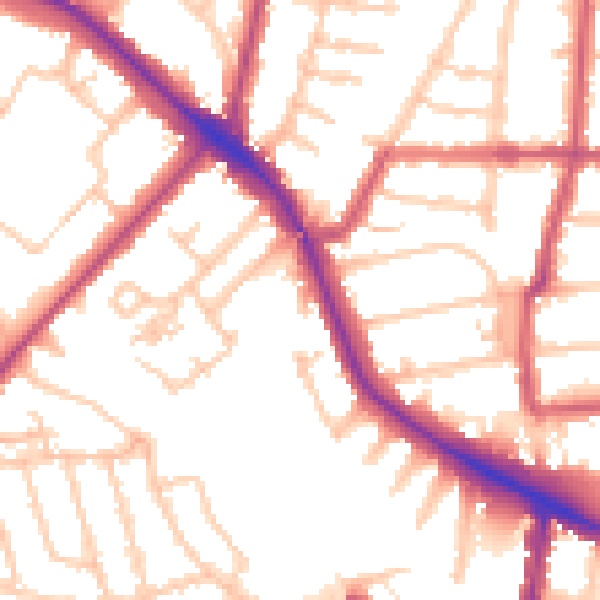
Daytime· 07:00 – 23:00
53.2dB

Night-time· 23:00 – 07:00
42.5dB