36 Corbett Grove, Haringey, London, N22 8DQ
About 36 Corbett Grove
36 Corbett Grove is a semi-detached house in Haringey, London, London (N22 8DQ). It has a recorded floor area of 195 m² (around 2099 sq ft) and construction records dating it to 2023. The latest certificate (March 2024) returns a high B (score 87), putting the home a stone's throw from an A rating. When first surveyed in July 2023 the rating was C, the property has climbed 1 band since. Between certificates, window efficiency went from Good to Very Good and main heating went from Average to Good; while hot-water efficiency dropped from Good to Poor. The recommended improvements would push it to A (score 94). Main heating runs on electricity: electricity, unspecified tariff.
At 195 m² the property is well over the postcode median (62 m² across 25 EPCs), placing it in the larger end of the local stock. On energy efficiency it sits in the top 10% of properties in this postcode. Today's modelled estimate of £1,032,000 is 30.6% above the 2024 sale price. On a £-per-square-foot basis, the last sale (£376/sq ft) was about 74.5% above the typical sold price in the postcode. Last sale on file: £790,000 in November 2024.
Know exactly what you're buying at 36 Corbett Grove
Before you offer, see what the listing won't tell you, the true value, the red flags and the full history.
Already flagged here
Valuation
against the asking price
Risks
planning & flood
Sold prices
similar homes nearby
Trends
the local market
Energy performance
36 Corbett Grove ranks among the most efficient homes in the postcode for energy use.
EPC Rating
Property Improvements
Changes detected from historical EPC data
Heating controls upgraded for better temperature management
Hot water efficiency decreased
High performance glazing installed
Planning history
36 Corbett Grove has no planning applications on record.
Notable planning nearby
25applications of note in the surrounding area
We flagged 2 things worth checking at 36 Corbett Grove
Independent checks surfaced things a buyer would want to understand before offering. The report explains each one in full, with the underlying data and what to ask.
- Signs of HMO activity in the area
- Larger development activity nearby
30-day money-back guarantee
Sales history & valuation
36 Corbett Grove valuation sits well clear of the typical sold price in this postcode.
£1,032,000
Modelled from EPC, postcode comparables.
£790,000
Recorded with HM Land Registry.
Sales timeline
8 November 2024Most recent
£790,000
Median price across the last 5 sales in N22 8DQ: £327,000 (2025–2006).
Nearby sales in N22 8DQ
20 Corbett Grove, Haringey, London, N22 8DQ
Sold Mar 2025
£362,00035 Corbett Grove, Haringey, London, N22 8DQ
Sold Nov 2024
£790,0002 Corbett Grove, Haringey, London, N22 8DQ
Sold Feb 2024
£327,0006 Corbett Grove, Haringey, London, N22 8DQ
Sold Jul 2006
£185,00012 Corbett Grove, Haringey, London, N22 8DQ
Sold Aug 2001
£118,000
Everything we know about 36 Corbett Grove, in one report
What it's really worth, what could be wrong, and the planning, sales and area data in full.
What we flagged
- Signs of HMO activity in the area
- Larger development activity nearby

Similar properties nearby
1 Northbrook Road, Haringey
N22 8YQ
1 Hampshire Road, Haringey
N22 8LR
1 Clarence Road, Haringey
N22 8PG
1 Justin Place, Haringey
N22 8ET
1 Dogan Terrace, Trinity Road, Haringey
N22 8LB
1 Homelink Terrace, Thorold Road, Haringey
N22 8YE
1 Falmouth Close, Haringey
N22 8BU
1 Marquis Road, Haringey
N22 8JH
The neighbourhood at a glance
Rail-style transport is unusually close for this postcode.
Crime
10/mo
Rising year-on-year across the wider district.
Nearest stop
0.1 km
Palace Road (N11) — bus stop.
Closest school
0.3 km
Bounds Green Junior School. 60 schools nearby.
Go deeper on the local area
The full report breaks down crime, transport links, schools and air quality in depth.
Road noise across the postcode
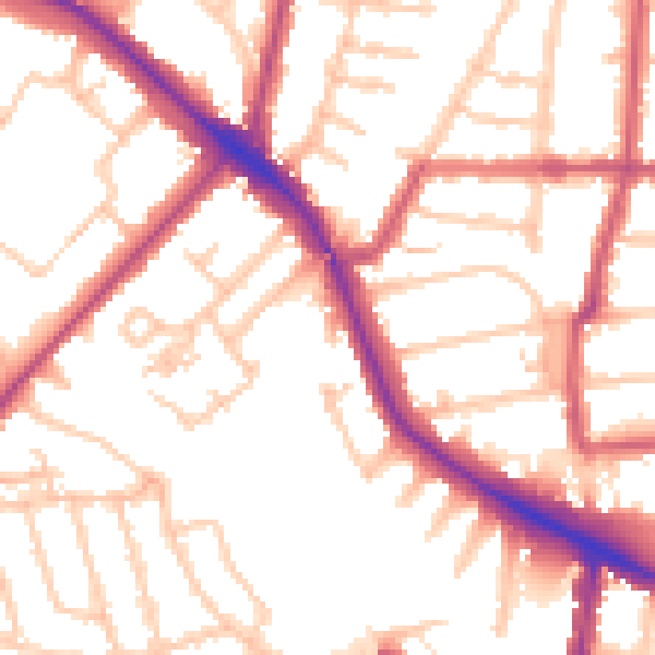
Daytime· 07:00 – 23:00
53.2dB

Night-time· 23:00 – 07:00
42.5dB