70 Norfolk Avenue, Enfield, London, N13 6AH
About 70 Norfolk Avenue
70 Norfolk Avenue is a semi-detached house in Enfield, London, London (N13 6AH). It has a recorded floor area of 112 m² (around 1206 sq ft), construction records dating it to 1930-1949 and council tax band E. The latest certificate (July 2022) shows an E (score 48), well below the UK norm with real room to improve. The recommended improvements would lift it to C (score 76), a 2-band jump.
At 112 m² it's 25.1% larger than the typical home in the postcode (90 m² median across 6 EPCs).
Know exactly what you're buying at 70 Norfolk Avenue
Before you offer, see what the listing won't tell you, the true value, the red flags and the full history.
Already flagged here
Launch offer · save £5
Valuation
against the asking price
Risks
planning & flood
Sold prices
similar homes nearby
Trends
the local market
Energy performance
70 Norfolk Avenue's carbon output runs well above what efficient homes in the postcode produce.
EPC Rating
Planning history
70 Norfolk Avenue has no planning applications on record.
Notable planning nearby
18applications of note in the surrounding area
We flagged 1 thing worth checking at 70 Norfolk Avenue
Independent checks surfaced things a buyer would want to understand before offering. The report explains each one in full, with the underlying data and what to ask.
- Signs of HMO activity in the area
30-day money-back guarantee
Sales history & valuation
70 Norfolk Avenue has no Land Registry sales on file, suggesting it has stayed in the same hands since registration began.
£588,000
Modelled from EPC, postcode comparables.
No sales recorded with HM Land Registry
That can mean the property has never traded since the registry began publishing in 1995, was a new build that hasn't been registered yet, or is held in the same hands long-term.
Median price across the last 2 sales in N13 6AH: £700,000 (2021–2015).
Everything we know about 70 Norfolk Avenue, in one report
What it's really worth, what could be wrong, and the planning, sales and area data in full.
What we flagged
- Signs of HMO activity in the area

Similar properties nearby
1 Chequers Way, Enfield
N13 6DA
1 Feldspar Mews, Enfield
N13 6AF
1 Millicent Grove, Enfield
N13 6HF
1 Tottenhall Road, Enfield
N13 6HY
1 Wolves Lane, Enfield
N13 6DT
1 Brook Mews, Enfield
N13 6AS
1 Medesenge Way, Enfield
N13 6DZ
1 Upsdell Avenue, Enfield
N13 6JP
The neighbourhood at a glance
Reported crime in the wider district is trending notably upward year-on-year.
Crime
7/mo
Rising year-on-year across the wider district.
Nearest stop
0.3 km
Berkshire Gardens / Wolves Lane — bus stop.
Closest school
0.6 km
St Michael at Bowes CofE Junior School. 70 schools nearby.
Go deeper on the local area
The full report breaks down crime, transport links, schools and air quality in depth.
Road noise across the postcode
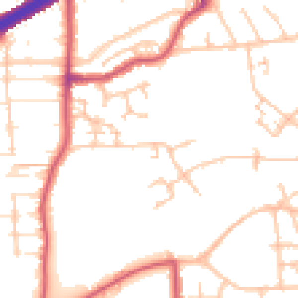
Daytime· 07:00 – 23:00
50.9dB

Night-time· 23:00 – 07:00
40.3dB