18a, Wakefield Road, Enfield, London, N11 2SU
About 18a
18a is a mid-terrace house in Enfield, London, London (N11 2SU). It has a recorded floor area of 49 m² (around 527 sq ft), construction records dating it to 1900-1929 and council tax band C. At 49 m² this is the 2nd smallest of 10 units on EPC record in the building, where floor areas span 43–145 m². The building's EPC ratings span E to C, with this unit at the top. The latest certificate (October 2015) shows a C (score 69), just inside the C band. The latest certificate is from October 2015, so improvements made since then won't be reflected.
Held since May 2001 — that's 25 years off the open market, well above the local norm. Only one transfer is on record with HM Land Registry, suggesting it has stayed in the same hands for a long time. Today's modelled estimate of £342,000 sits 238.6% above the 2001 sale of £101,000. On a £-per-square-foot basis, the last sale (£191/sq ft) was about 51% below the postcode norm. At 49 m² it's 19.7% smaller than the typical home in the postcode (61 m² median across 9 EPCs). One historical planning record sits against the property in 2024.
Everything you need to know about 18a
The true value, the hidden risks and the full sale history, in one report.
30-day money-back guarantee

The data behind every report


Energy performance
EPC Expired
This certificate is over 10 years old and is no longer valid.Expired 01 Oct 2025
EPC Rating
Planning history
- Aug 2024OutbuildingFullIn report
Rear outbuilding to be used as garden studio.
- Agent
- Vesica Design
- Documents
- 11 docs on file
- Reference
- 24/02096/FUL
We flagged 2 things worth checking at 18a
Independent checks surfaced things a buyer would want to understand before offering. The report explains each one in full, with the underlying data and what to ask.
- Signs of HMO activity in the area
- Larger development activity nearby
30-day money-back guarantee
Sales history & valuation
18a's estimated value is more than triple its earliest registered sale price (2001).
£342,000
Modelled from EPC, postcode comparables.
£101,000
Recorded with HM Land Registry.
Sales timeline
13 May 2001Most recent
£101,000
Median price across the last 5 sales in N11 2SU: £575,000 (2021–2011).
Nearby sales in N11 2SU
17 Wakefield Road, Enfield, London, N11 2SU
Sold Mar 2021
£665,8887 Wakefield Road, Enfield, London, N11 2SU
Sold Feb 2021
£870,0005 Wakefield Road, Enfield, London, N11 2SU
Sold Aug 2013
£305,00019 Wakefield Road, Enfield, London, N11 2SU
Sold Nov 2011
£495,00012 Wakefield Road, Enfield, London, N11 2SU
Sold Aug 2010
£240,000
Versus other Wakefield Road homes
On years held, 18a stands well clear of the street.
Price per m²
£2,061
Street avg £4,298
Floor Area
49 m²
Street avg 55 m²
Habitable Rooms
3 rooms
Street avg 3 rooms
CO₂ Emissions
1.9 t/year
Street avg 2.5 t/year
Everything you need to know about 18a
The true value, the hidden risks and the full sale history, in one report.
30-day money-back guarantee
The data behind every report
Similar properties nearby
1 Beech Road, Enfield
N11 2DA
1 Maidstone Court, Maidstone Road, Enfield
N11 2TT
1 Park Grove, Haringey
N11 2QD
1 Maya Place, Haringey
N11 2EZ
1 Maidstone Road, Haringey
N11 2TR
1 Bexhill Road, Enfield
N11 2RG
1 Bailey Close, Haringey
N11 2JL
1 Evesham Road, Enfield
N11 2RR
The neighbourhood at a glance
Rail-style transport is unusually close for this postcode.
Crime
5/mo
Rising year-on-year across the wider district.
Nearest stop
0.1 km
Warwick Road Palmers Green — bus stop.
Closest school
0.2 km
Bowes Primary School. 55 schools nearby.
Go deeper on the local area
The full report breaks down crime, transport links, schools and air quality in depth.
Road noise across the postcode
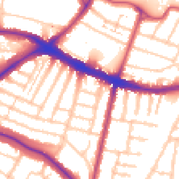
Daytime· 07:00 – 23:00
55.0dB

Night-time· 23:00 – 07:00
45.5dB