15a, Ryhope Road, Barnet, London, N11 1DR
About 15a
15a is a semi-detached house in Barnet, London, London (N11 1DR). It has a recorded floor area of 78 m² (around 840 sq ft), construction records dating it to 1900-1929 and council tax band D. The latest certificate (March 2019) shows a C (score 73). The recommended improvements would push it to B (score 81). Main heating runs on electricity.
At 78 m² it's 16.1% smaller than the typical home in the postcode (93 m² median across 15 EPCs). On energy efficiency it sits in the top 10% of properties in this postcode. One planning record on file: a loft conversion refused in 2018.
Everything you need to know about 15a
The true value, the hidden risks and the full sale history, in one report.
30-day money-back guarantee

The data behind every report


Energy performance
15a ranks among the most efficient homes in the postcode for energy use.
EPC Rating
Planning history
Council records show a subdivision application — the property's legal arrangement has been altered.
- Sept 2018Loft ConversionFullIn report
Conversion of existing flat into 2no self-contained flats involving roof extension including hip to gable, rear dormer window and new side gable window
- Agent
- Architectural Design Services
Subdivision- Documents
- 10 docs on file
- Reference
- 18/4408/FUL
We flagged 2 things worth checking at 15a
Independent checks surfaced things a buyer would want to understand before offering. The report explains each one in full, with the underlying data and what to ask.
- Signs of HMO activity in the area
- Larger development activity nearby
30-day money-back guarantee
Sales history & valuation
15a has no Land Registry sales on file, suggesting it has stayed in the same hands since registration began.
£355,000
Modelled from EPC, postcode comparables.
No sales recorded with HM Land Registry
That can mean the property has never traded since the registry began publishing in 1995, was a new build that hasn't been registered yet, or is held in the same hands long-term.
Median price across the last 5 sales in N11 1DR: £610,000 (2023–2018).
Nearby sales in N11 1DR
19 Ryhope Road, Barnet, London, N11 1DR
Sold Mar 2023
£675,00041 Ryhope Road, Barnet, London, N11 1DR
Sold Jan 2019
£550,00043 Ryhope Road, Barnet, London, N11 1DR
Sold Dec 2018
£710,00027 Ryhope Road, Barnet, London, N11 1DR
Sold Jul 2018
£595,00013 Ryhope Road, Barnet, London, N11 1DR
Sold Mar 2018
£610,000
Everything you need to know about 15a
The true value, the hidden risks and the full sale history, in one report.
30-day money-back guarantee
The data behind every report
Similar properties nearby
1 Highview Gardens, Enfield
N11 1SE
1 Marne Avenue, Barnet
N11 1JU
1 Massey Close, Enfield
N11 1QX
1 Marshalls Close, Barnet
N11 1TB
1 Darwin Close, Barnet
N11 1TA
1 Grindleford Avenue, Barnet
N11 1JN
1 Haynes Close, Barnet
N11 1HH
1 Goldrill Drive, Barnet
N11 1JF
The neighbourhood at a glance
Rail-style transport is unusually close for this postcode.
Crime
5/mo
Rising year-on-year across the wider district.
Nearest stop
0.1 km
Brookdale — bus stop.
Closest school
0.6 km
St Paul's CofE Primary School N11. 61 schools nearby.
Go deeper on the local area
The full report breaks down crime, transport links, schools and air quality in depth.
Road noise across the postcode
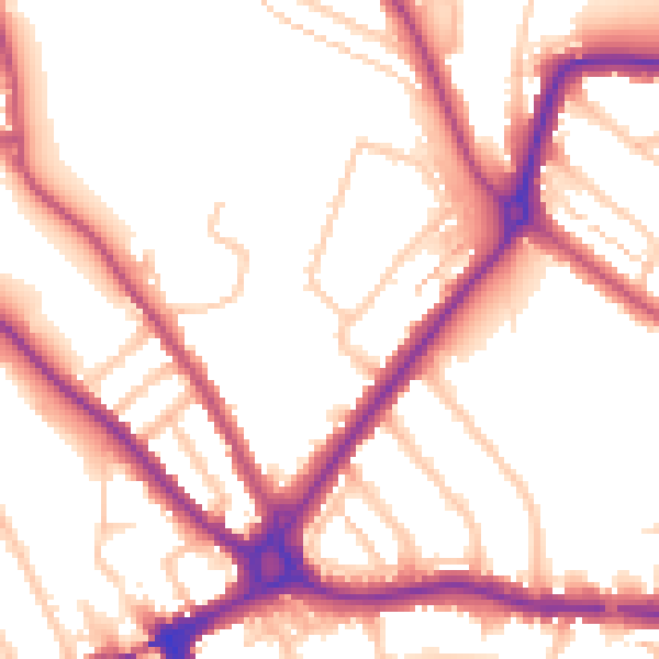
Daytime· 07:00 – 23:00
54.0dB

Night-time· 23:00 – 07:00
45.4dB