41 Ryhope Road, Barnet, London, N11 1DR
About 41 Ryhope Road
41 Ryhope Road is a semi-detached house in Barnet, London, London (N11 1DR). It has a recorded floor area of 77 m² (around 829 sq ft), construction records dating it to 1950-1966 and council tax band D. The latest certificate (April 2017) shows an E (score 40), well below the UK norm with real room to improve. The recommended improvements would lift it to B (score 84), a 3-band jump.
5 planning records sit against the property, 0 approved, 2 refused, 1 pending. An active application for an extension is awaiting a decision. At 77 m² it's 17.2% smaller than the typical home in the postcode (93 m² median across 15 EPCs). It lags the bulk of the postcode on energy efficiency (less efficient than 80% of similar EPCs). Across 2003–2019, sale prices on this property compounded at 5.4% per year. On a £-per-square-foot basis, the last sale (£664/sq ft) was about 144.9% above the typical sold price in the postcode. Sold January 2019 for £550,000.
Everything you need to know about 41 Ryhope Road
The true value, the hidden risks and the full sale history, in one report.
30-day money-back guarantee

The data behind every report


Energy performance
41 Ryhope Road's carbon output runs well above what efficient homes in the postcode produce.
EPC Rating
Planning history
A partial demolition application was refused at 41 Ryhope Road in 2024.
- Sept 2025DemolitionOutlineIn report
Extension: Side and rear of property
Single storey side and rear extensions with raised terrace area following the demolition of existing garage and rear extension. Erection of rear outbuilding. Changes to fenestration and front door position
Extension- Documents
- 17 docs on file
- Reference
- 25/3575/192
- Aug 2025DemolitionOutlineIn report
Extension: Part single, part two storey
Part single, part two storey rear extension with raised terrace area. Single storey side extension following the partial demolition of existing rear extension and existing outbuilding. Erection of 2 outbuildings, 1 located at rear and 1no adjacent to main building. Changes to fenestration and front door position
Extension- Documents
- 16 docs on file
- Reference
- 25/3208/192
We flagged 3 things worth checking at 41 Ryhope Road
Independent checks surfaced things a buyer would want to understand before offering. The report explains each one in full, with the underlying data and what to ask.
- Signs of HMO activity in the area
- Larger development activity nearby
- A planning decision worth checking
30-day money-back guarantee
Sales history & valuation
Sale price has at least doubled since 2003.
£503,000
Modelled from EPC, postcode comparables and a sale-price growth of 5.4% per year over 15 years.
£550,000
Growth on file: 5.4% per year over 15 years.
Sales timeline
18 January 2019Most recent
£550,000
+122.7%over 15 years27 November 2003
£247,000
Median price across the last 5 sales in N11 1DR: £610,000 (2023–2017).
Nearby sales in N11 1DR
19 Ryhope Road, Barnet, London, N11 1DR
Sold Mar 2023
£675,00043 Ryhope Road, Barnet, London, N11 1DR
Sold Dec 2018
£710,00027 Ryhope Road, Barnet, London, N11 1DR
Sold Jul 2018
£595,00013 Ryhope Road, Barnet, London, N11 1DR
Sold Mar 2018
£610,00039 Ryhope Road, Barnet, London, N11 1DR
Sold Dec 2017
£609,000
Versus other Ryhope Road homes
On epc rating, 41 Ryhope Road runs well behind the street norm.
Price per m²
£7,143
Street avg £4,488
Floor Area
77 m²
Street avg 102 m²
Habitable Rooms
4 rooms
Street avg 5 rooms
CO₂ Emissions
6.1 t/year
Street avg 4.9 t/year
Everything you need to know about 41 Ryhope Road
The true value, the hidden risks and the full sale history, in one report.
30-day money-back guarantee
The data behind every report
Similar properties nearby
1 Corefield Close, Barnet
N11 1LR
1 Goldrill Drive, Barnet
N11 1JF
1 Linden Road, Barnet
N11 1ER
1 Grindleford Avenue, Barnet
N11 1JN
1 Brunswick Crescent, Barnet
N11 1EE
1 Inverforth Road, Enfield
N11 1SY
1 Dale Green Road, Barnet
N11 1DN
1 Lombard Villas, Lombard Road, Enfield
N11 1LT
The neighbourhood at a glance
Rail-style transport is unusually close for this postcode.
Crime
5/mo
Rising year-on-year across the wider district.
Nearest stop
0.1 km
Brookdale — bus stop.
Closest school
0.6 km
St Paul's CofE Primary School N11. 61 schools nearby.
Go deeper on the local area
The full report breaks down crime, transport links, schools and air quality in depth.
Road noise across the postcode
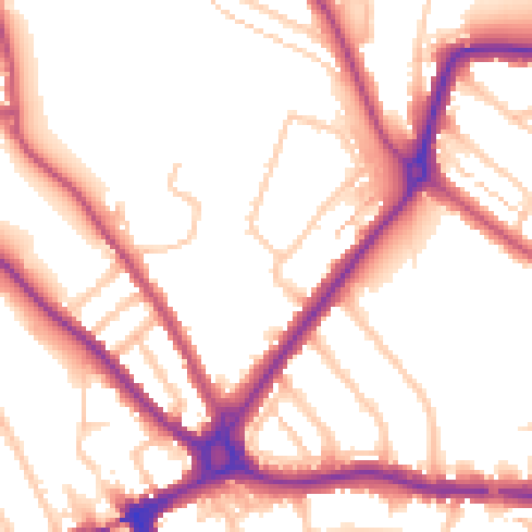
Daytime· 07:00 – 23:00
54.0dB

Night-time· 23:00 – 07:00
45.4dB