39 Ryhope Road, Barnet, London, N11 1DR
About 39 Ryhope Road
39 Ryhope Road is a three-bedroom semi-detached house in Barnet, London, London (N11 1DR). It has a recorded floor area of 75 m² (around 807 sq ft), construction records dating it to 1930-1949 and council tax band D. The latest certificate (June 2017) shows an E (score 50), well below the UK norm with real room to improve. The recommended improvements would lift it to B (score 83), a 3-band jump. Records show the property has been extended at some point in its history.
On the market in December 2017 and unlisted since — roughly 8 years. Across the public record there are 5 sales, relatively high churn for a single property. 2 planning records sit against the property, 1 approved, 0 refused. Past consents include an extension and partial demolition, meaningful when judging how the property has evolved. At 75 m² it's 19.4% smaller than the typical home in the postcode (93 m² median across 15 EPCs). It lags the bulk of the postcode on energy efficiency (less efficient than 80% of similar EPCs). Across 1997–2017, sale prices on this property compounded at 9.1% per year. Today's modelled estimate of £687,000 is 12.8% above the 2017 sale price. On a £-per-square-foot basis, the last sale (£754/sq ft) was about 153.1% above the typical sold price in the postcode.
What this property has
Inside
- Bedrooms3
- Bathrooms2
- EnsuiteYes
Outside
- Private gardenYes
- GarageDetached
Building
- Previously extendedYes
Everything you need to know about 39 Ryhope Road
The true value, the hidden risks and the full sale history, in one report.
30-day money-back guarantee

The data behind every report


Energy performance
Recommended upgrades on file would lift this property by multiple EPC bands.
EPC Rating
Planning history
Planning history includes recorded demolition works, indicating a major rebuild phase at this address.
- Sept 2024DemolitionFullIn report
Extension: Part single, part two storey · Side and rear of property
Part single, part two storey side and rear extension following demolition of existing rear extension and garage
- Agent
- R M Hillier Ltd
Extension- Documents
- 9 docs on file
- Reference
- 24/2742/HSE
- Jul 2022OutlineIn report
Roof extension involving hip to gable, rear dormer window with juliette balcony and addition of 1no front facing rooflight
- Agent
- R. M. Hillier Ltd.
- Documents
- 11 docs on file
- Reference
- 22/2668/192
We flagged 2 things worth checking at 39 Ryhope Road
Independent checks surfaced things a buyer would want to understand before offering. The report explains each one in full, with the underlying data and what to ask.
- Signs of HMO activity in the area
- Larger development activity nearby
30-day money-back guarantee
Sales history & valuation
39 Ryhope Road has more than quadrupled in price since its earliest registered sale in 1997.
£687,000
Modelled from EPC, postcode comparables and a sale-price growth of 9.1% per year over 21 years.
£609,000
Growth on file: 9.1% per year over 21 years.
Sales timeline
18 December 2017Most recent
£609,000
+134.2%over 12 years24 August 2005
£260,000
+4.0%over 3 years15 August 2002
£249,950
+42.8%over 2 years1 June 2000
£175,000
+75.0%over 3 years26 March 1997
£100,000
Median price across the last 5 sales in N11 1DR: £610,000 (2023–2018).
Nearby sales in N11 1DR
19 Ryhope Road, Barnet, London, N11 1DR
Sold Mar 2023
£675,00041 Ryhope Road, Barnet, London, N11 1DR
Sold Jan 2019
£550,00043 Ryhope Road, Barnet, London, N11 1DR
Sold Dec 2018
£710,00027 Ryhope Road, Barnet, London, N11 1DR
Sold Jul 2018
£595,00013 Ryhope Road, Barnet, London, N11 1DR
Sold Mar 2018
£610,000
Versus other Ryhope Road homes
On price per m², 39 Ryhope Road stands well clear of the street.
Price per m²
£8,120
Street avg £4,406
Floor Area
75 m²
Street avg 102 m²
Habitable Rooms
5 rooms
Street avg 5 rooms
CO₂ Emissions
4.8 t/year
Street avg 5.0 t/year
Everything you need to know about 39 Ryhope Road
The true value, the hidden risks and the full sale history, in one report.
30-day money-back guarantee
The data behind every report
Similar properties nearby
1 Arnos Road, Enfield
N11 1AP
1 Brunswick Park Gardens, Barnet
N11 1EJ
1 Inverforth Road, Enfield
N11 1SY
1 Highview Gardens, Enfield
N11 1SE
1 Bridge Way, Barnet
N11 1DA
1 Dale Green Road, Barnet
N11 1DN
1 Goldrill Drive, Barnet
N11 1JF
1 Marshalls Close, Barnet
N11 1TB
The neighbourhood at a glance
Rail-style transport is unusually close for this postcode.
Crime
5/mo
Rising year-on-year across the wider district.
Nearest stop
0.1 km
Brookdale — bus stop.
Closest school
0.6 km
St Paul's CofE Primary School N11. 61 schools nearby.
Go deeper on the local area
The full report breaks down crime, transport links, schools and air quality in depth.
Road noise across the postcode
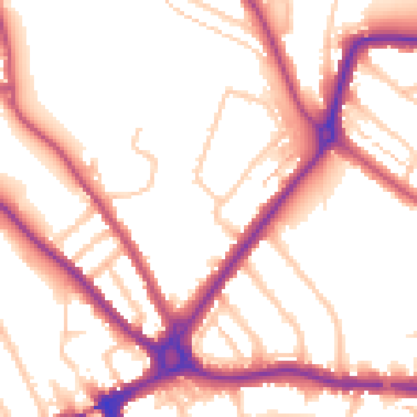
Daytime· 07:00 – 23:00
54.0dB

Night-time· 23:00 – 07:00
45.4dB