14 Leafield Rise, Two Mile Ash, Milton Keynes, MK8 8BU
About 14 Leafield Rise
14 Leafield Rise is a five-bedroom property in Two Mile Ash, Milton Keynes, Milton Keynes (MK8 8BU). It has council tax band D.
It hasn't traded since April 2002, a hold of 24 years that's notably long for the area. One planning record on file: an extension approved in 2014. Past consents include an extension, meaningful when judging how the property has evolved. 5 bedrooms is on the larger side for this postcode, where 4 is the typical count.
What this property has
Inside
- Bedrooms5
Everything you need to know about 14 Leafield Rise
The true value, the hidden risks and the full sale history, in one report.
30-day money-back guarantee

The data behind every report


Energy performance
No EPC on record
This property doesn't have an Energy Performance Certificate yet. An EPC is required to sell or let — and unlocks our automated valuation.
Planning history
14 Leafield Rise has an approved single-storey rear extension on the planning record.
- Aug 2014ExtensionFullIn report
Extension: Single storey · Rear of property
Single storey rear extension
- Reference
- 14/01432/FUL
What's in 14 Leafield Rise, Two Mile Ash, Milton Keynes, MK8 8BU's planning history?
Refusals, disputes and full decisions on this property and nearby, in the report.
Sales history & valuation
£156,700
Recorded with HM Land Registry.
Sales timeline
25 April 2002Most recent
£156,700
Median price across the last 5 sales in MK8 8BU: £480,000 (2025–2022).
Nearby sales in MK8 8BU
30 Leafield Rise, Two Mile Ash, Milton Keynes, MK8 8BU
Sold Feb 2025
£496,00031 Leafield Rise, Two Mile Ash, Milton Keynes, MK8 8BU
Sold Jan 2025
£480,00017a, Leafield Rise, Two Mile Ash, Milton Keynes, MK8 8BU
Sold Jan 2024
£400,0007 Leafield Rise, Two Mile Ash, Milton Keynes, MK8 8BU
Sold Dec 2022
£418,5003 Leafield Rise, Two Mile Ash, Milton Keynes, MK8 8BU
Sold Jan 2022
£546,000
Everything you need to know about 14 Leafield Rise
The true value, the hidden risks and the full sale history, in one report.
30-day money-back guarantee
The data behind every report
Similar properties nearby
1 Burewelle, Two Mile Ash
MK8 8LS
1 Garston, Two Mile Ash
MK8 8ET
1 Astlethorpe, Two Mile Ash
MK8 8EJ
1 Farinton, Two Mile Ash
MK8 8ES
1 Atherstone Court, Two Mile Ash
MK8 8AE
1 Belmont Court, Two Mile Ash
MK8 8AG
1 Fairways, Two Mile Ash
MK8 8AL
1 Cherleton, Two Mile Ash
MK8 8LL
The neighbourhood at a glance
Crime
3/mo
Steady year-on-year across the wider district.
Nearest stop
0.2 km
The High Street West — bus stop.
Closest school
0.3 km
Ashbrook School. 25 schools nearby.
Go deeper on the local area
The full report breaks down crime, transport links, schools and air quality in depth.
Road noise across the postcode
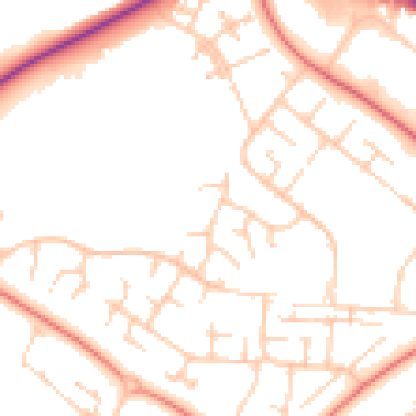
Daytime· 07:00 – 23:00
50.8dB

Night-time· 23:00 – 07:00
39.8dB