12 Waterside, Peartree Bridge, Milton Keynes, MK6 3DG
About 12 Waterside
12 Waterside is a property in Peartree Bridge, Milton Keynes, Milton Keynes (MK6 3DG). It has council tax band B.
Held since May 2007 — that's 19 years off the open market, well above the local norm. That sale landed at the peak of the pre-credit-crunch market, which is a useful reference point when interpreting the price. Across 2004–2007, sale prices on this property compounded at 6.4% per year. One historical planning record sits against the property in 2011.
Everything you need to know about 12 Waterside
The true value, the hidden risks and the full sale history, in one report.
Pick your report · every report is £14.99
One time fee only - money back guarantee

The data behind every report


Energy performance
No EPC on record
This property doesn't have an Energy Performance Certificate yet. An EPC is required to sell or let — and unlocks our automated valuation.
Get a survey for this property
Level 2 HomeBuyer Report
We've checked 10 risk factors against the available data for this property and believe a Level 2 HomeBuyer Report could be a suitable option for you.
Planning history
1 application on record at 12 Waterside, Peartree Bridge, Milton Keynes, MK6 3DG
- Nov 2011OutlineOutcome in report
Certificate of Lawfulness for proposed infilling of front wall of the dwelling to enclose the carport as living accommodation
- Reference
- 11/02282/CLUP
Unlock 12 Waterside, Peartree Bridge, Milton Keynes, MK6 3DG's full planning history
You're seeing the shape of it. The report has the substance.
- Every decision — granted, refused or withdrawn (1 on record)
- All 1 application on this property in full, plus 5 notable nearby
- What the pattern means for extending or converting here
One time fee only - money back guarantee
Sales history & valuation
The latest sale landed at the peak of the pre-credit-crunch market — a high-water reference point.
£155,500
Growth on file: 6.4% per year over 3 years.
Sales timeline
31 May 2007Most recent
£155,500
+22.0%over 3 years12 March 2004
£127,500
Median price across the last 5 sales in MK6 3DG: £275,000 (2025–2024).
Nearby sales in MK6 3DG
74 Waterside, Peartree Bridge, Milton Keynes, MK6 3DG
Sold Nov 2025
£270,00034 Waterside, Peartree Bridge, Milton Keynes, MK6 3DG
Sold Jul 2024
£270,00018 Waterside, Peartree Bridge, Milton Keynes, MK6 3DG
Sold Apr 2024
£275,00022 Waterside, Peartree Bridge, Milton Keynes, MK6 3DG
Sold Feb 2024
£300,00064 Waterside, Peartree Bridge, Milton Keynes, MK6 3DG
Sold Jan 2024
£315,000
Everything you need to know about 12 Waterside
The true value, the hidden risks and the full sale history, in one report.
Pick your report · every report is £14.99
One time fee only - money back guarantee
The data behind every report
Similar properties nearby
1 Brent, Tinkers Bridge
MK6 3DL
1 Congreve, Tinkers Bridge
MK6 3DR
1 Jeeves Close, Peartree Bridge
MK6 3PB
1 Bascote, Tinkers Bridge
MK6 3DW
1 Hatton, Tinkers Bridge
MK6 3DN
1 Buckby, Tinkers Bridge
MK6 3DP
1 Broadwater, Tinkers Bridge
MK6 3DS
1 Hillyer Court, Peartree Bridge
MK6 3PJ
The neighbourhood at a glance
Reported crime in the wider district is trending notably upward year-on-year.
Crime
6/mo
Rising year-on-year across the wider district.
Nearest stop
0.4 km
Fishermead Roundabout South — bus stop.
Closest school
0.5 km
Falconhurst School. 25 schools nearby.
Go deeper on the local area
A Local Area report breaks down crime, transport links, schools and air quality in depth.
Road noise across the postcode
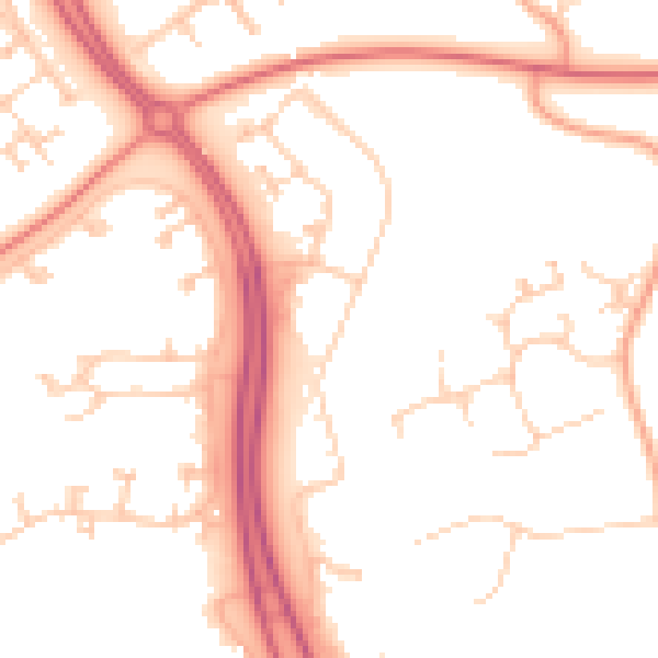
Daytime· 07:00 – 23:00
51.9dB

Night-time· 23:00 – 07:00
41.9dB