112 High Street, Kempston, Bedford, MK42 7BN
About 112 High Street
112 High Street is a three-bedroom detached house in Kempston, Bedford, Bedford (MK42 7BN). It has a recorded floor area of 118 m² (around 1270 sq ft), construction records dating it to before 1900 and council tax band D. The latest certificate (May 2016) shows an E (score 43), well below the UK norm with real room to improve. The recommended improvements would lift it to C (score 74), a 2-band jump. The latest certificate is from May 2016, so improvements made since then won't be reflected.
Untraded for 22 years, with the last transfer in February 2004. Across 1997–2004, sale prices on this property compounded at 16.2% per year. Today's modelled estimate of £371,000 sits 100.5% above the 2004 sale of £185,000. On a £-per-square-foot basis, the last sale (£146/sq ft) was about 31.2% below the postcode norm. At 118 m² it's 25.5% larger than the typical home in the postcode (94 m² median across 13 EPCs). It lags the bulk of the postcode on energy efficiency (less efficient than 77% of similar EPCs). 4 planning records sit against the property, 0 approved, 0 refused.
Know exactly what you're buying at 112 High Street
Before you offer, see what the listing won't tell you, the true value, the red flags and the full history.
Already flagged here
Valuation
against the asking price
Risks
planning & flood
Sold prices
similar homes nearby
Trends
the local market
What this property has
Inside
- Bedrooms3
- Dining roomYes
- CloakroomYes
Outside
- Private gardenRear
- ParkingOff road
Building
- Heating systemGas
- RefurbishedYes
Energy performance
112 High Street's carbon output runs well above what efficient homes in the postcode produce.
EPC Expired
This certificate is over 10 years old and is no longer valid.Expired 18 May 2026
EPC Rating
Planning history
Planning history at 112 High Street is exclusively tree-management applications — typical for a property with mature trees on or near the plot.
- Dec 2022Tree WorksTreesIn report
Conifer, Quince, Red Robin and Euonymus to be trimmed and pruned by 25% and general maintenance.
- Documents
- 7 docs on file
- Reference
- 22/02654/TCA
- Aug 2020Tree WorksTreesIn report
T1 - Conifer - Removal. T2 - Quince - 50% Crown reduction and general maintenance. T3 - Bay - Reduction by 50% and general maintenance.
- Documents
- 7 docs on file
- Reference
- 20/01609/TCA
We flagged 2 things worth checking at 112 High Street
Independent checks surfaced things a buyer would want to understand before offering. The report explains each one in full, with the underlying data and what to ask.
- Larger development activity nearby
- Environmental risk flagged
30-day money-back guarantee
Sales history & valuation
Sale price has at least doubled since 1997.
£371,000
Modelled from EPC, postcode comparables and a sale-price growth of 16.2% per year over 7 years.
£185,000
Growth on file: 16.2% per year over 7 years.
Sales timeline
16 February 2004Most recent
£185,000
+184.6%over 6 years28 February 1997
£65,000
Median price across the last 5 sales in MK42 7BN: £180,000 (2025–2022).
Nearby sales in MK42 7BN
Flat 2, 106 High Street, Kempston, Bedford, MK42 7BN
Sold Apr 2025
£168,000110 High Street, Kempston, Bedford, MK42 7BN
Sold Nov 2022
£680,000Flat 1, 106 High Street, Kempston, Bedford, MK42 7BN
Sold Sept 2022
£180,000Flat 4, 106 High Street, Kempston, Bedford, MK42 7BN
Sold Sept 2022
£175,000Flat 3, 106 High Street, Kempston, Bedford, MK42 7BN
Sold Aug 2022
£180,000
Everything we know about 112 High Street, in one report
What it's really worth, what could be wrong, and the planning, sales and area data in full.
What we flagged
- Larger development activity nearby
- Environmental risk flagged

Versus other High Street homes
112 High Street outperforms the street on years held by a wide margin.
Price per m²
£1,568
Street avg £2,860
Floor Area
118 m²
Street avg 130 m²
Habitable Rooms
6 rooms
Street avg 6 rooms
CO₂ Emissions
7.8 t/year
Street avg 6.1 t/year
Similar properties nearby
1 Beech Walk, Kempston
MK42 7NX
1 Countess Gardens, Kempston
MK42 7EG
1 Chantry Road, Kempston
MK42 7QT
1 Bruce Road, Kempston
MK42 7EU
1 Crowsley Road, Kempston
MK42 7FN
1 Clover Way, Kempston
MK42 7FZ
1 Baker Drive, Kempston
MK42 7GY
1 Crouch Gardens, Kempston
MK42 7GZ
The neighbourhood at a glance
Crime
6/mo
Steady year-on-year across the wider district.
Nearest stop
0.1 km
Lodge Avenue — bus stop.
Closest school
0.4 km
Balliol Primary School. 16 schools nearby.
Go deeper on the local area
The full report breaks down crime, transport links, schools and air quality in depth.
Road noise across the postcode
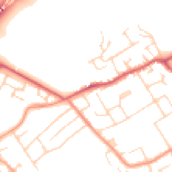
Daytime· 07:00 – 23:00
50.1dB
Night-time· 23:00 – 07:00
41.2dB