28 Clifton Close, Rochester, ME2 2HG
About 28 Clifton Close
28 Clifton Close is a three-bedroom semi-detached house in Rochester (ME2 2HG). It has a recorded floor area of 79 m² (around 850 sq ft), construction records dating it to 1950-1966 and council tax band C. The latest certificate (July 2022) shows a D (score 63), on the cusp of jumping into the C band. The recommended improvements would push it to C (score 79).
On a £-per-square-foot basis, the last sale (£395/sq ft) was about 113.7% above the typical sold price in the postcode. Sold October 2022 for £336,000. That sale was during the post-pandemic price surge, when transactions cleared materially above pre-2020 trend.
Know exactly what you're buying at 28 Clifton Close
Before you offer, see what the listing won't tell you, the true value, the red flags and the full history.
Valuation
against the asking price
Risks
planning & flood
Sold prices
similar homes nearby
Trends
the local market
What this property has
Inside
- Bedrooms3
- Bathrooms1
Energy performance
EPC Rating
Planning history
28 Clifton Close has no planning applications on record.
Notable planning nearby
1applications of note in the surrounding area
Sales history & valuation
Latest sale on 28 Clifton Close was the highest on Land Registry record across the postcode.
£356,000
Modelled from EPC, postcode comparables.
£336,000
Recorded with HM Land Registry.
Sales timeline
27 October 2022Most recent
£336,000
Median price across the last 5 sales in ME2 2HG: £245,000 (2025–2024).
Nearby sales in ME2 2HG
Everything we know about 28 Clifton Close, in one report
What it's really worth, what could be wrong, and the planning, sales and area data in full.
- Am I paying too much?
- Is something wrong with it?
- Is the agent's story true?
- Will it hold its value?

Versus other Clifton Close homes
Price per m² for 28 Clifton Close runs comfortably ahead of the street norm.
Price per m²
£4,253
Street avg £2,600
Floor Area
79 m²
Street avg 78 m²
Habitable Rooms
4 rooms
Street avg 4 rooms
CO₂ Emissions
3.5 t/year
Street avg 3.0 t/year
Similar properties nearby
The neighbourhood at a glance
Crime
3/mo
Steady year-on-year across the wider district.
Nearest stop
0.2 km
Maple Road Bottom — bus stop.
Closest school
0.2 km
Elaine Primary School. 23 schools nearby.
Go deeper on the local area
The full report breaks down crime, transport links, schools and air quality in depth.
Road noise across the postcode
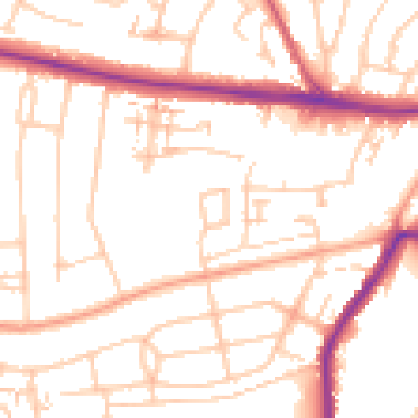
Daytime· 07:00 – 23:00
52.1dB

Night-time· 23:00 – 07:00
42.7dB