39 Hafton Road, Salford, M7 3TF
About 39 Hafton Road
39 Hafton Road is a mid-terrace house in Salford (M7 3TF). It has a recorded floor area of 74 m² (around 797 sq ft), construction records dating it to 1900-1929 and council tax band A. The latest certificate (October 2016) shows an E (score 49), well below the UK norm with real room to improve. The recommended improvements would lift it to C (score 72), a 2-band jump.
It lags the bulk of the postcode on energy efficiency (less efficient than 82% of similar EPCs). Across 2017–2019, sale prices on this property compounded at 27.2% per year. Today's modelled estimate of £178,000 is 18.7% above the 2019 sale price. On a £-per-square-foot basis, the last sale (£188/sq ft) was about 111.2% above the typical sold price in the postcode. Sold April 2019 for £150,000.
Know exactly what you're buying at 39 Hafton Road
Before you offer, see what the listing won't tell you, the true value, the red flags and the full history.
Already flagged here
Valuation
against the asking price
Risks
planning & flood
Sold prices
similar homes nearby
Trends
the local market
Energy performance
Recommended upgrades on file would lift this property by multiple EPC bands.
EPC Rating
Planning history
39 Hafton Road has no planning applications on record.
Notable planning nearby
11applications of note in the surrounding area
We flagged 1 thing worth checking at 39 Hafton Road
Independent checks surfaced things a buyer would want to understand before offering. The report explains each one in full, with the underlying data and what to ask.
- Signs of HMO activity in the area
30-day money-back guarantee
Sales history & valuation
39 Hafton Road valuation sits well clear of the typical sold price in this postcode.
£178,000
Modelled from EPC, postcode comparables and a sale-price growth of 27.2% per year over 2 years.
£150,000
Growth on file: 27.2% per year over 2 years.
Sales timeline
22 April 2019Most recent
£150,000
+66.7%over 2 years7 March 2017
£90,000
Median price across the last 5 sales in M7 3TF: £150,000 (2024–2020).
Everything we know about 39 Hafton Road, in one report
What it's really worth, what could be wrong, and the planning, sales and area data in full.
What we flagged
- Signs of HMO activity in the area

Versus other Hafton Road homes
CO₂ Emissions for 39 Hafton Road lags the street by a wide margin.
Price per m²
£2,027
Street avg £1,143
Floor Area
74 m²
Street avg 73 m²
Habitable Rooms
4 rooms
Street avg 4 rooms
CO₂ Emissions
5.7 t/year
Street avg 3.5 t/year
Similar properties nearby
The neighbourhood at a glance
Daytime road noise here sits well below conversation level — a quiet pocket of the postcode.
Crime
1/mo
Steady year-on-year across the wider district.
Nearest stop
0.1 km
Racecourse Hotel — bus stop.
Closest school
0.3 km
Lower Kersal Community Primary School. 49 schools nearby.
Go deeper on the local area
The full report breaks down crime, transport links, schools and air quality in depth.
Road noise across the postcode
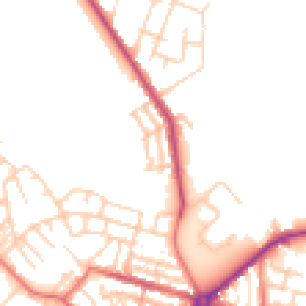
Daytime· 07:00 – 23:00
49.9dB

Night-time· 23:00 – 07:00
41.1dB