17 Amersham Close, Urmston, Manchester, M41 7NJ
About 17 Amersham Close
17 Amersham Close is a property in Urmston, Manchester, Manchester (M41 7NJ). It has council tax band B.
Held since December 1996 — that's 29 years off the open market, well above the local norm. Only one transfer is on record with HM Land Registry, suggesting it has stayed in the same hands for a long time.
Everything you need to know about 17 Amersham Close
The true value, the hidden risks and the full sale history, in one report.
Pick your report · every report is £14.99
One time fee only - money back guarantee

The data behind every report


Energy performance
No EPC on record
This property doesn't have an Energy Performance Certificate yet. An EPC is required to sell or let — and unlocks our automated valuation.
Get a survey for this property
Level 2 HomeBuyer Report
We've checked 10 risk factors against the available data for this property and believe a Level 2 HomeBuyer Report could be a suitable option for you.
Planning history
17 Amersham Close has no planning applications on record.
But the area is active
3 notable applications nearby — larger schemes and conversions that could reshape the street. The report maps them all.
Sales history & valuation
17 Amersham Close has been held in the same hands since before 2000.
£41,500
Recorded with HM Land Registry.
Sales timeline
17 December 1996Most recent
£41,500
Median price across the last 5 sales in M41 7NJ: £200,000 (2025–2019).
Nearby sales in M41 7NJ
43 Amersham Close, Urmston, Manchester, M41 7NJ
Sold Jul 2025
£225,00019 Amersham Close, Urmston, Manchester, M41 7NJ
Sold Nov 2023
£220,00023 Amersham Close, Urmston, Manchester, M41 7NJ
Sold Jun 2021
£200,00025 Amersham Close, Urmston, Manchester, M41 7NJ
Sold Dec 2019
£190,00035 Amersham Close, Urmston, Manchester, M41 7NJ
Sold Oct 2019
£195,000
Everything you need to know about 17 Amersham Close
The true value, the hidden risks and the full sale history, in one report.
Pick your report · every report is £14.99
One time fee only - money back guarantee
The data behind every report
Similar properties nearby
1 Amersham Close, Urmston
M41 7NJ
1 Arran Gardens, Urmston
M41 7HJ
1 Avondale Crescent, Urmston
M41 7AU
1 Barra Drive, Urmston
M41 7EU
1 Bedford Road, Urmston
M41 7BD
1 Benbecula Way, Urmston
M41 7FR
1 Bendemeer, Old Crofts Bank, Urmston
M41 7GY
1 Bent Terrace, Urmston
M41 7NA
The neighbourhood at a glance
Crime
1/mo
Steady year-on-year across the wider district.
Nearest stop
0.1 km
Welwyn Close — bus stop.
Closest school
0.4 km
Our Lady of the Rosary RC Primary School, a Voluntary Academy. 30 schools nearby.
Go deeper on the local area
A Local Area report breaks down crime, transport links, schools and air quality in depth.
Road noise across the postcode
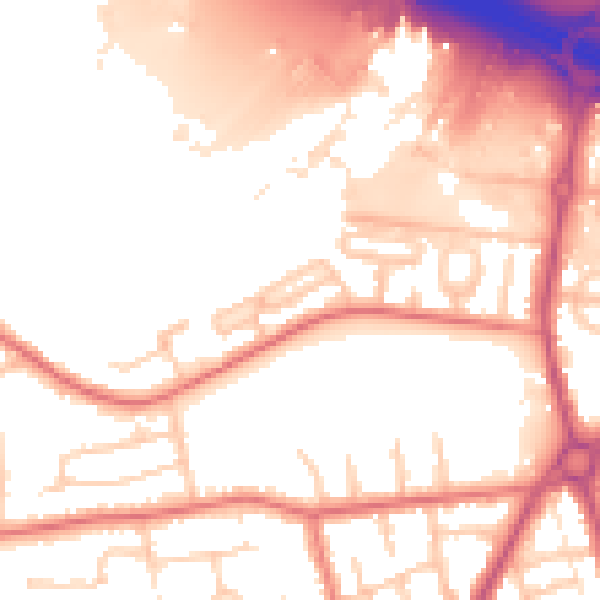
Daytime· 07:00 – 23:00
54.9dB

Night-time· 23:00 – 07:00
46.9dB