25 Amersham Close, Urmston, Manchester, M41 7NJ
About 25 Amersham Close
25 Amersham Close is a three-bedroom end-of-terrace house in Urmston, Manchester, Manchester (M41 7NJ). It has a recorded floor area of 63 m² (around 678 sq ft), construction records dating it to 1930-1949 and council tax band B. The latest certificate (September 2019) shows a C (score 69), just inside the C band. When first surveyed in November 2010 the rating was E, the property has climbed 2 bands since. Between certificates, wall efficiency went from Poor to Average, roof efficiency went from Very Poor to Average and window efficiency went from Poor to Average; while lighting dropped from Good to Very Poor. The recommended improvements would push it to B (score 86).
On energy efficiency it sits in the top 10% of properties in this postcode. Across 2011–2019, sale prices on this property compounded at 9.3% per year. Today's modelled estimate of £261,000 is 37.4% above the 2019 sale price. On a £-per-square-foot basis, the last sale (£280/sq ft) was about 46.6% above the typical sold price in the postcode. Last sale on file: £190,000 in December 2019.
What this property has
Inside
- Bedrooms3
- Bathrooms1
- Dining roomYes
Outside
- Private gardenSouth-facing
- DrivewayYes
Building
- Heating systemGas
Everything you need to know about 25 Amersham Close
The true value, the hidden risks and the full sale history, in one report.
Pick your report · every report is £14.99
One time fee only - money back guarantee

The data behind every report


Energy performance
25 Amersham Close ranks among the most efficient homes in the postcode for energy use.
EPC Rating
Property Improvements
Changes detected from historical EPC data
Heating controls upgraded for better temperature management
Windows upgraded, improving insulation
Cavity wall insulation installed
Roof insulation improved
Low energy lighting percentage decreased
Get a survey for this property
Level 2 HomeBuyer Report
We've checked 10 risk factors against the available data for this property and believe a Level 2 HomeBuyer Report could be a suitable option for you.
From £545 · Includes VAT
Planning history
25 Amersham Close has no planning applications on record.
But the area is active
3 notable applications nearby — larger schemes and conversions that could reshape the street. The report maps them all.
Sales history & valuation
25 Amersham Close has more than doubled in price since the earliest registered sale in 2011.
£261,000
Modelled from EPC, postcode comparables and a sale-price growth of 9.3% per year over 9 years.
£190,000
Growth on file: 9.3% per year over 9 years.
Sales timeline
20 December 2019Most recent
£190,000
+117.1%over 8 years7 April 2011
£87,500
Median price across the last 5 sales in M41 7NJ: £200,000 (2025–2018).
Nearby sales in M41 7NJ
43 Amersham Close, Urmston, Manchester, M41 7NJ
Sold Jul 2025
£225,00019 Amersham Close, Urmston, Manchester, M41 7NJ
Sold Nov 2023
£220,00023 Amersham Close, Urmston, Manchester, M41 7NJ
Sold Jun 2021
£200,00035 Amersham Close, Urmston, Manchester, M41 7NJ
Sold Oct 2019
£195,0001 Amersham Close, Urmston, Manchester, M41 7NJ
Sold Jun 2018
£190,000
Versus other Amersham Close homes
On epc rating, 25 Amersham Close stands well clear of the street.
Price per m²
£3,016
Street avg £2,496
Floor Area
63 m²
Street avg 77 m²
Habitable Rooms
5 rooms
Street avg 5 rooms
CO₂ Emissions
2.4 t/year
Street avg 4.3 t/year
Everything you need to know about 25 Amersham Close
The true value, the hidden risks and the full sale history, in one report.
Pick your report · every report is £14.99
One time fee only - money back guarantee
The data behind every report
Similar properties nearby
1 Hoy Drive, Urmston
M41 7HF
1 Iona Way, Urmston
M41 7EY
1 Bent Terrace, Urmston
M41 7NA
1 Kingsway Park, Urmston
M41 7EB
1 Harris Avenue, Urmston
M41 7FT
1 Amersham Close, Urmston
M41 7NJ
1 Bedford Road, Urmston
M41 7BD
1 Benbecula Way, Urmston
M41 7FR
The neighbourhood at a glance
Crime
1/mo
Steady year-on-year across the wider district.
Nearest stop
0.1 km
Welwyn Close — bus stop.
Closest school
0.4 km
Our Lady of the Rosary RC Primary School, a Voluntary Academy. 30 schools nearby.
Go deeper on the local area
A Local Area report breaks down crime, transport links, schools and air quality in depth.
Road noise across the postcode
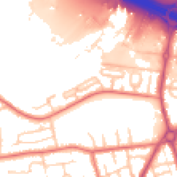
Daytime· 07:00 – 23:00
54.9dB

Night-time· 23:00 – 07:00
46.9dB