1 Bendemeer, Old Crofts Bank, Urmston, Manchester, M41 7GY
About 1 Bendemeer
1 Bendemeer is a semi-detached house in Urmston, Manchester, Manchester (M41 7GY). It has a recorded floor area of 215 m² (around 2314 sq ft), construction records dating it to 1967-1975 and council tax band A. The latest certificate (July 2023) shows a D (score 65), on the cusp of jumping into the C band. When first surveyed in December 2008 the rating was E, the property has climbed 1 band since. Between certificates, wall efficiency went from Poor to Average, roof efficiency went from Very Poor to Good and lighting went from Very Poor to Very Good; while window efficiency dropped from Good to Average. The recommended improvements would push it to C (score 77).
Everything you need to know about 1 Bendemeer
The true value, the hidden risks and the full sale history, in one report.
Pick your report · every report is £14.99
One time fee only - money back guarantee

The data behind every report


Energy performance
1 Bendemeer's carbon output runs well above what efficient homes in the postcode produce.
EPC Rating
Property Improvements
Changes detected from historical EPC data
Heating controls upgraded for better temperature management
More low energy lighting installed
Low energy lighting percentage decreased
Cavity wall insulation installed
Get a survey for this property
Level 3 Building Survey
Because the property has been extended more than once, we believe a Level 3 building survey should be considered.
From £1,085 · Includes VAT
Planning history
1 Bendemeer has no planning applications on record.
But the area is active
3 notable applications nearby — larger schemes and conversions that could reshape the street. The report maps them all.
Sales history & valuation
1 Bendemeer has no Land Registry sales on file, suggesting it has stayed in the same hands since registration began.
£527,000
Modelled from EPC, postcode comparables.
No sales recorded with HM Land Registry
That can mean the property has never traded since the registry began publishing in 1995, was a new build that hasn't been registered yet, or is held in the same hands long-term.
Everything you need to know about 1 Bendemeer
The true value, the hidden risks and the full sale history, in one report.
Pick your report · every report is £14.99
One time fee only - money back guarantee
The data behind every report
Similar properties nearby
1 Avondale Crescent, Urmston
M41 7AU
1 Canterbury Road, Urmston
M41 7BH
1 Denstone Avenue, Urmston
M41 7AN
1 Laburnum Road, Urmston
M41 7WN
1 Dalveen Avenue, Urmston
M41 7DP
1 Denstone Road, Urmston
M41 7DT
1 Jura Drive, Urmston
M41 7EZ
1 Benbecula Way, Urmston
M41 7FR
The neighbourhood at a glance
Rail-style transport is unusually close for this postcode.
Crime
1/mo
Steady year-on-year across the wider district.
Nearest stop
0.1 km
Canterbury Road — bus stop.
Closest school
0.4 km
Davyhulme Primary School. 26 schools nearby.
Go deeper on the local area
A Local Area report breaks down crime, transport links, schools and air quality in depth.
Road noise across the postcode
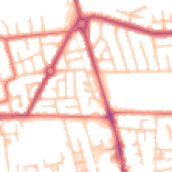
Daytime· 07:00 – 23:00
53.7dB

Night-time· 23:00 – 07:00
44.6dB