3 Chirk Lane, Worsley, Manchester, M28 3UN
About 3 Chirk Lane
3 Chirk Lane is a detached house in Worsley, Manchester, Manchester (M28 3UN). It has a recorded floor area of 125 m² (around 1345 sq ft). The latest certificate (April 2018) returns a B (score 84), comfortably above the UK average. The recommended improvements would push it to A (score 93).
One planning record on file: an extension approved in 2018. Past consents include an extension and a porch, meaningful when judging how the property has evolved. Last sold in May 2018, so it's been off the market for around 8 years. Today's modelled estimate of £475,000 is 30.1% above the 2018 sale price.
Everything you need to know about 3 Chirk Lane
The true value, the hidden risks and the full sale history, in one report.
Pick your report · every report is £14.99
One time fee only - money back guarantee

The data behind every report


Energy performance
EPC Rating
Get a survey for this property
Level 2 HomeBuyer Report
We've checked 10 risk factors against the available data for this property and believe a Level 2 HomeBuyer Report could be a suitable option for you.
From £695 · Includes VAT
Planning history
1 application on record at 3 Chirk Lane, Worsley, Manchester, M28 3UN
- May 2018PorchFullOutcome in report
Extension: Front of property
Erection of single storey porch and garage alterations with external changes to front driveway (part retrospective).
RetrospectiveExtension- Documents
- 9 docs on file
- Reference
- 18/71572/HH
Unlock 3 Chirk Lane, Worsley, Manchester, M28 3UN's full planning history
You're seeing the shape of it. The report has the substance.
- Every decision — granted, refused or withdrawn (1 on record)
- All 1 application on this property in full, plus 15 notable nearby
- The 9 documents, officer reports & conditions
- What the pattern means for extending or converting here
One time fee only - money back guarantee
Sales history & valuation
£475,000
Modelled from EPC, postcode comparables.
£364,995
Recorded with HM Land Registry.
Sales timeline
24 May 2018Most recent
£364,995
Median price across the last 5 sales in M28 3UN: £389,995 (2021–2018).
Versus other Chirk Lane homes
On years held, 3 Chirk Lane stands well clear of the street.
Price per m²
£2,920
Street avg £3,051
Floor Area
125 m²
Street avg 127 m²
CO₂ Emissions
1.9 t/year
Street avg 2.0 t/year
Years Held
8 years
Street avg 7 years
Everything you need to know about 3 Chirk Lane
The true value, the hidden risks and the full sale history, in one report.
Pick your report · every report is £14.99
One time fee only - money back guarantee
The data behind every report
Similar properties nearby
1 Bonnington Close, Worsley
M28 3UP
1 Avoncliffe Road, Worsley
M28 3UJ
1 Coral Road, Worsley
M28 3YH
1 Chirk Lane, Worsley
M28 3UN
1 Church Road, Worsley
M28 3LW
1 Chenille Close, Worsley
M28 3ZL
1 Bullbridge View, Worsley
M28 3YB
1 Bryony Close, Worsley
M28 3GR
The neighbourhood at a glance
Rail-style transport is unusually close for this postcode.
Nearest stop
0.1 km
Burgess Farm — bus stop.
Closest school
0.4 km
The Lowry Academy. 27 schools nearby.
Go deeper on the local area
A Local Area report breaks down crime, transport links, schools and air quality in depth.
Road noise across the postcode
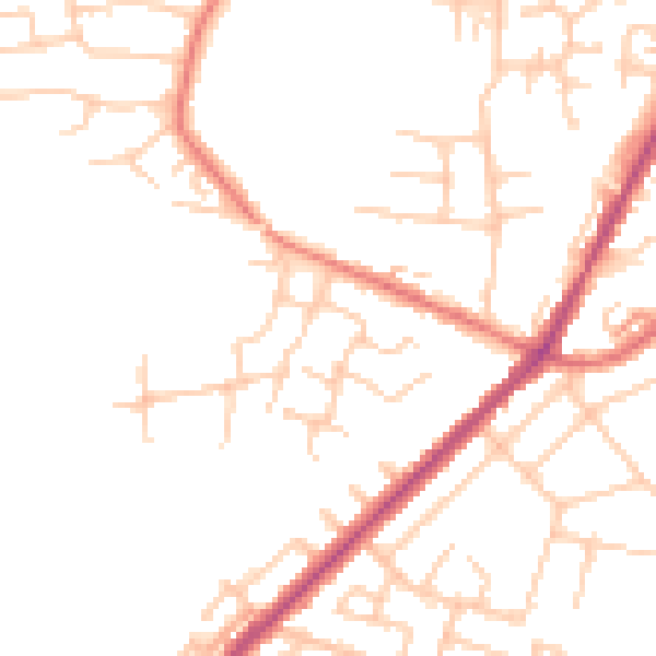
Daytime· 07:00 – 23:00
49.0dB

Night-time· 23:00 – 07:00
40.3dB